









 Ha Giang
 Hanoi
Hanoi Ho Chi Minh City
 Ha Long
 Sapa
Sapa Mekong Delta
 Da Nang
 Hue
Hue Hoi An
 Ninh Binh
 Da Lat
 Nha Trang
 Phan Thiet
 Phu Quoc
 Quang Binh
 Quy Nhon
 Vung Tau
 Thai Nguyen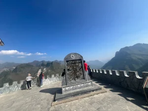
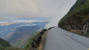
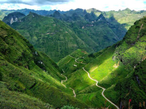


Ma Pi Leng Pass is about 20km of road between Dong Van and Meo Vac, and nearly every photo you’ve seen of it was taken from one of four or five places along it. The road is exactly as good as the pictures. The places the pictures were taken from have changed a lot.
I usually ride Ma Pi Leng on the third morning of the loop, and it’s still my favourite stretch of road in Vietnam. What follows is the honest version: which stops are now walk-only, which one charges, where the crowds and the touts are, and what’s actually worth your time between Dong Van and the Nho Que.
- Quick Answer: Ma Pi Leng Pass is a 20km stretch of QL4C between Dong Van and Meo Vac, topping out at around 1,200 metres, with the Nho Que River and Tu San Canyon about 700 to 800 metres below. The road lives up to its reputation. The famous stops are busier and more commercial than the photos suggest: the Skywalk rock ledge is now walk-only, the Ma Pi Leng Panorama café charges 30,000 VND to enter, and late mornings are crowded with tour groups. Early morning, from September to November, is the best time, and fog can close the view from November to February.
- Ma Pi Leng Pass facts:
- About 20km on QL4C, part of the Happiness Road built by hand between 1959 and 1965.
- Top of the pass around 1,200 metres. The name means “the bridge of a horse’s nose”.
- On a standard anticlockwise loop, it’s the morning of day three, out of Dong Van.
- The main stops:
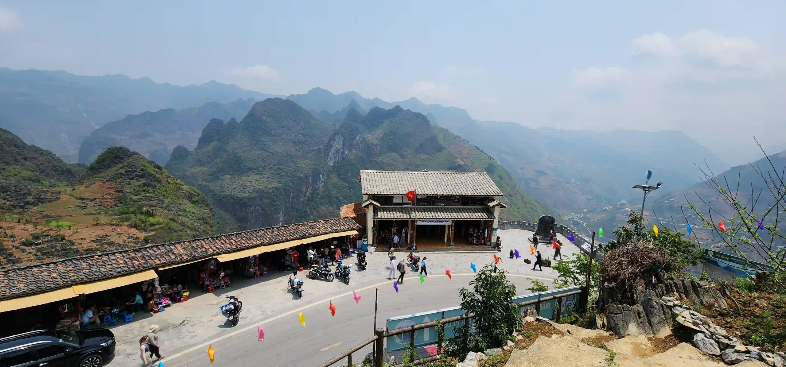
- Young Volunteers Monument: the rest stop at the top, and where the walks start.
- Skywalk rock ledge: a few hundred metres on foot, no railing, crowded at peak times.
- Sky Path to the white cliffs: a walk of about two hours for the full route.
- Ma Pi Leng Panorama café: 30,000 VND entry, or 60,000 with a drink. A free roadside lay-by nearby has the same view.
- What catches people out: touts offering motorbike taxis at the Skywalk, children asking for money, heat at midday, and fog in winter.
- Nho Que boat: 150,000 VND a head since April 2026, reached by a turn-off below the pass.
Ma Pi Leng Pass: Expectation vs Reality
The road is better than you expect, and the famous stops are busier, more commercial and more restricted than the photos make them look.
The view from the road.
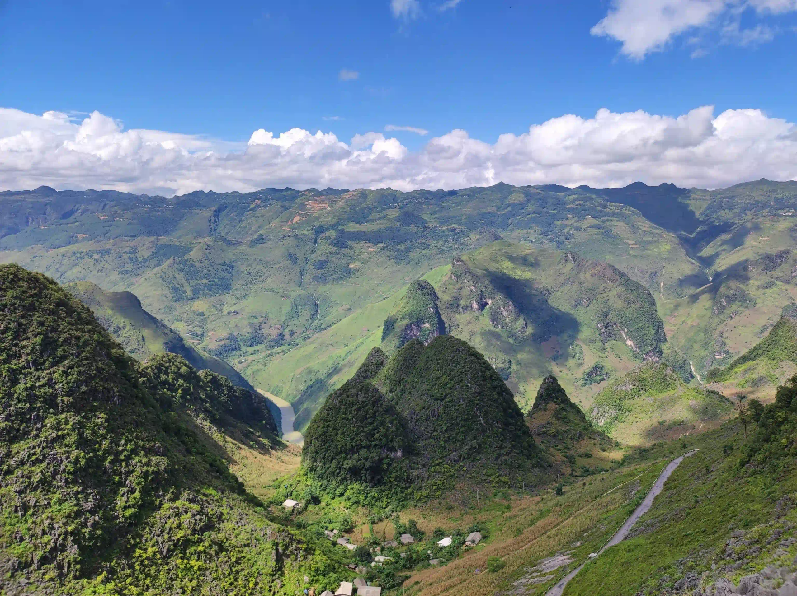
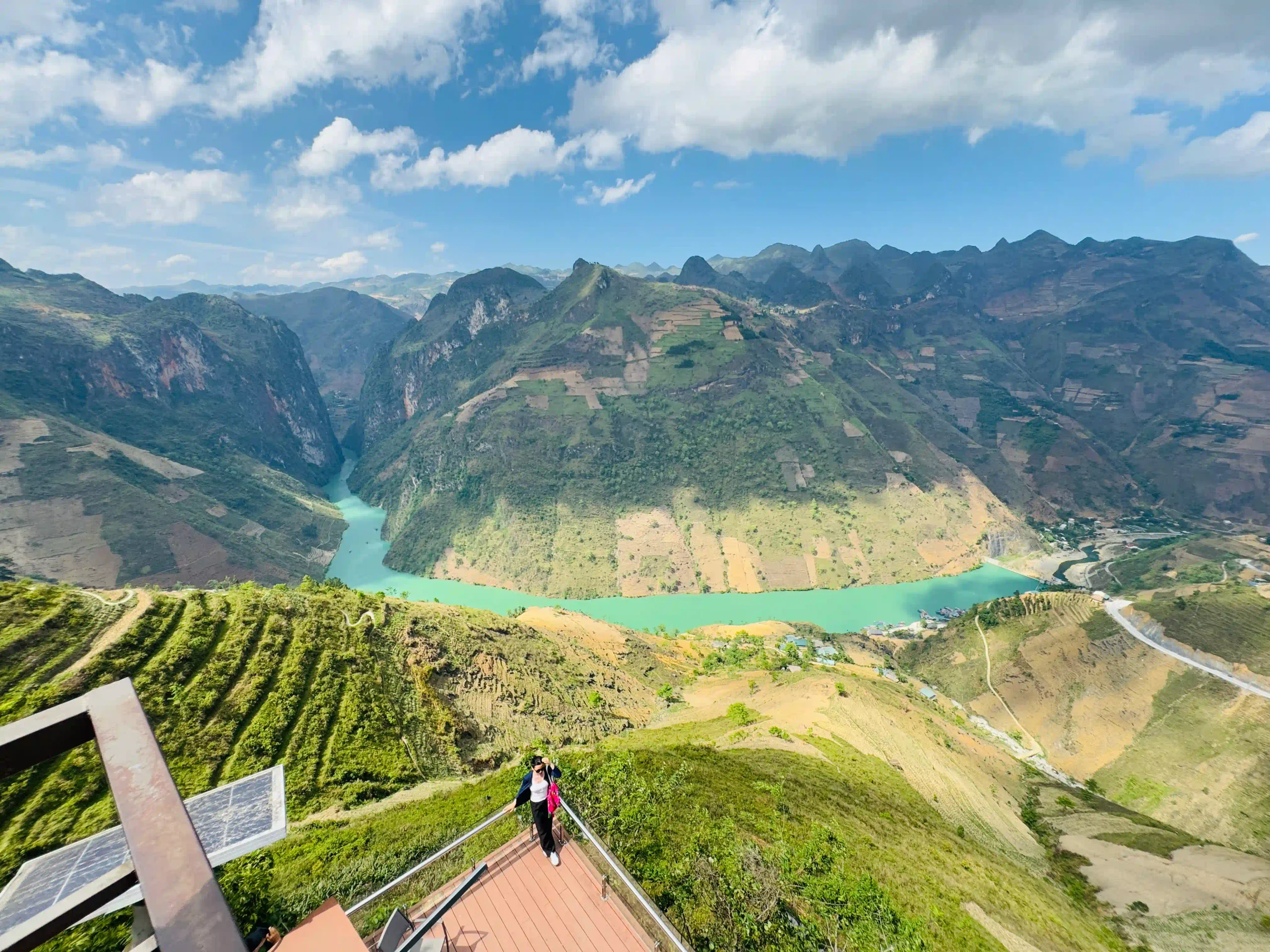
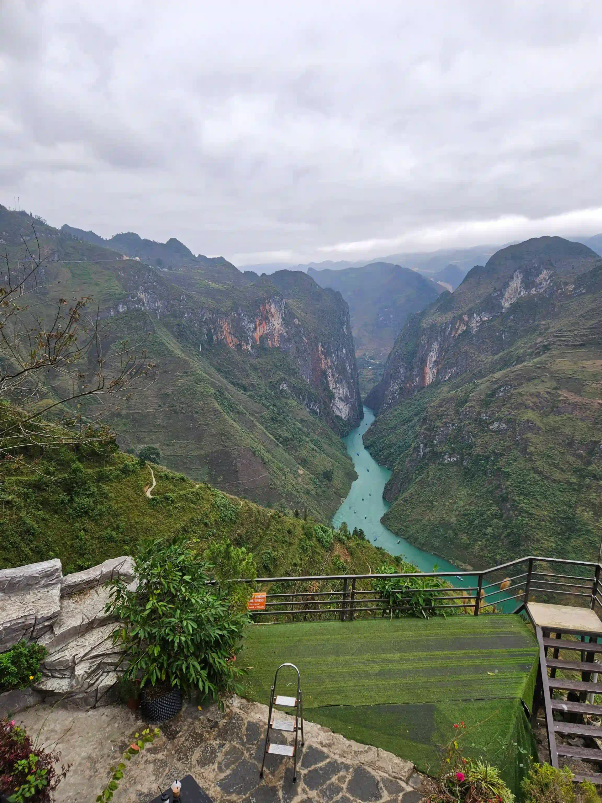
- Expectation: a canyon so deep it looks unreal.
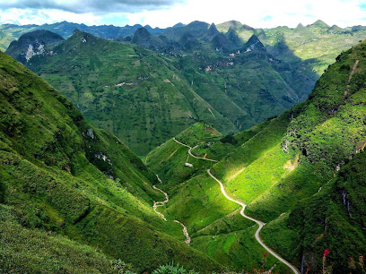
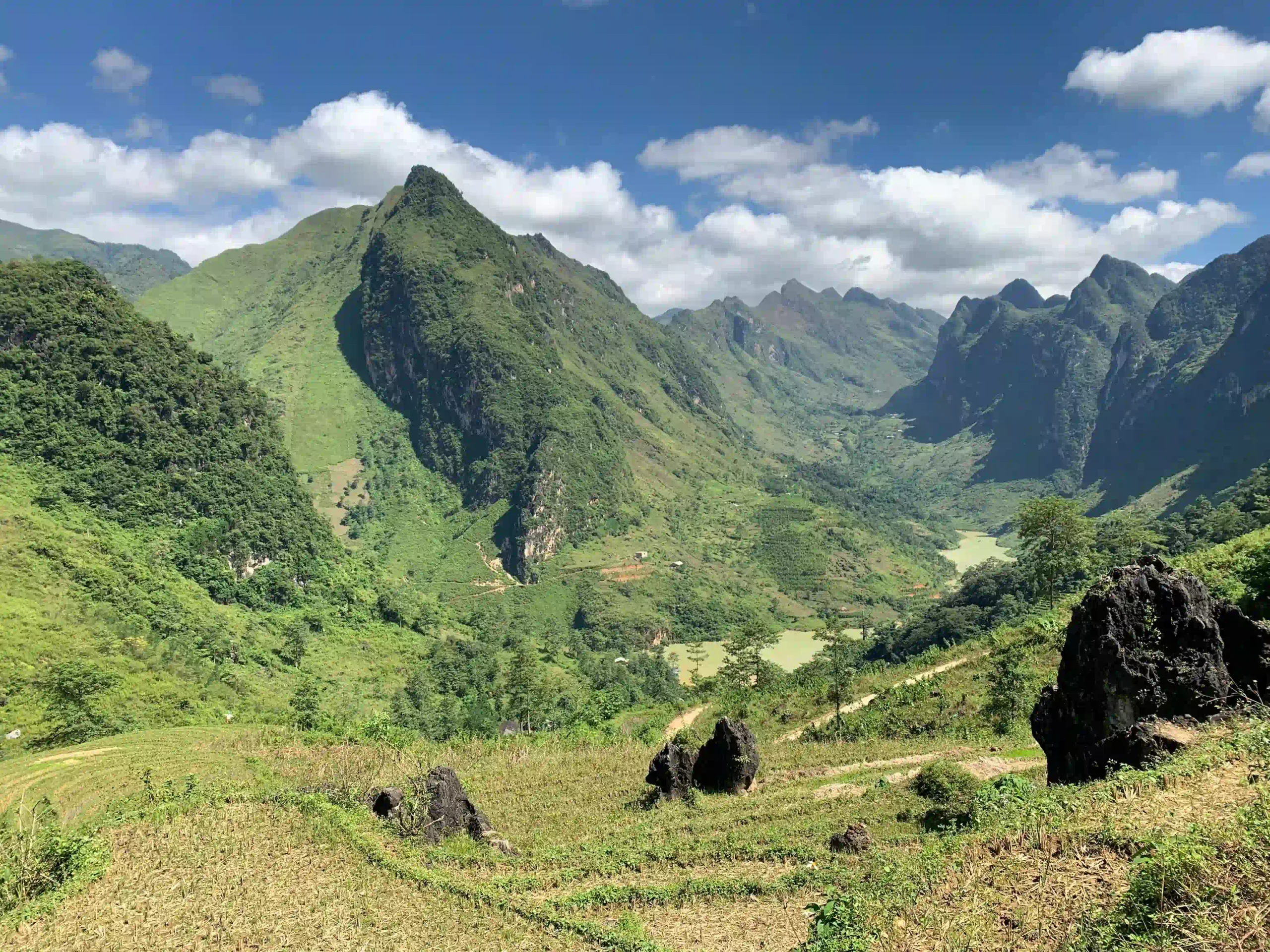
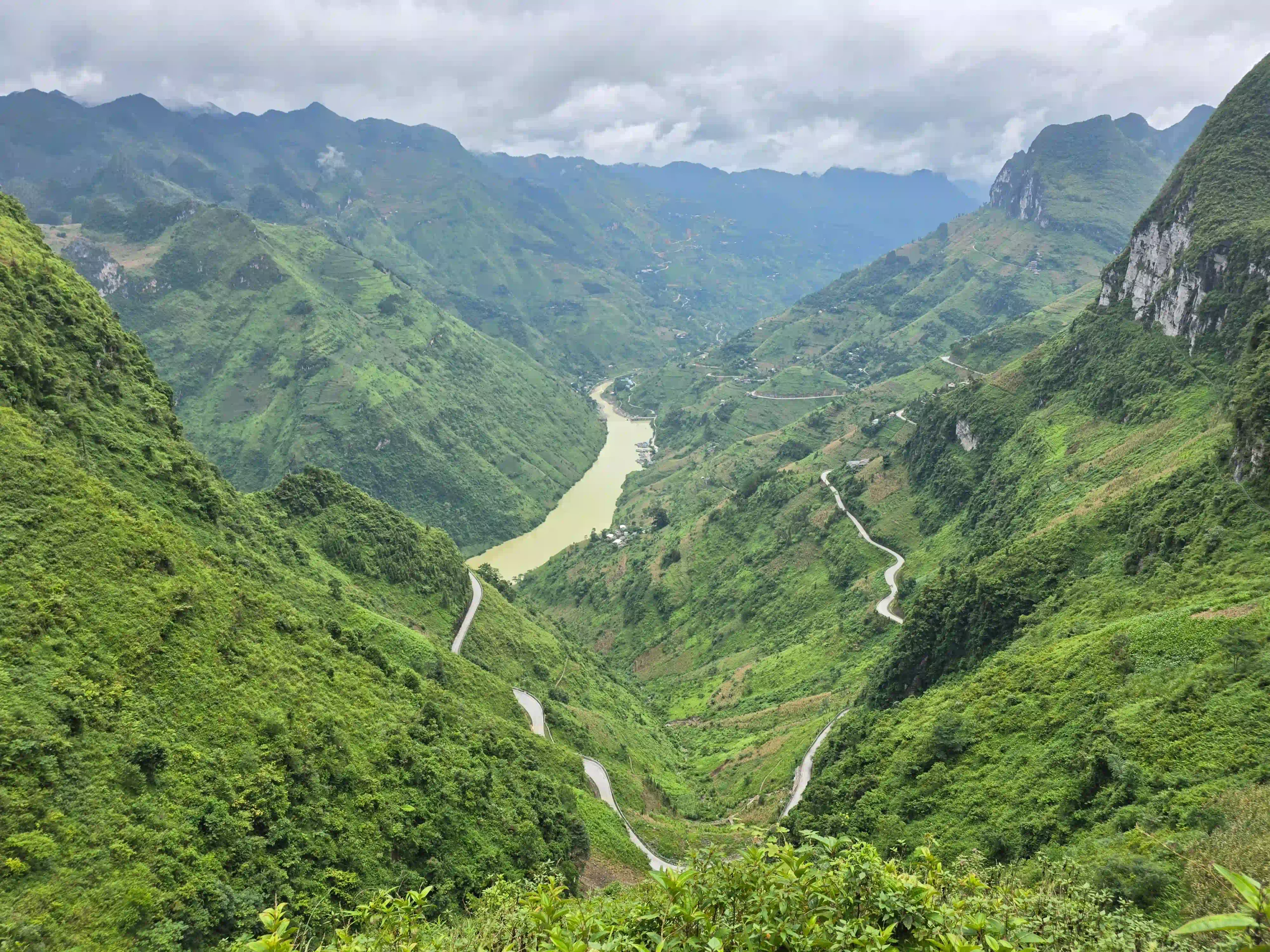
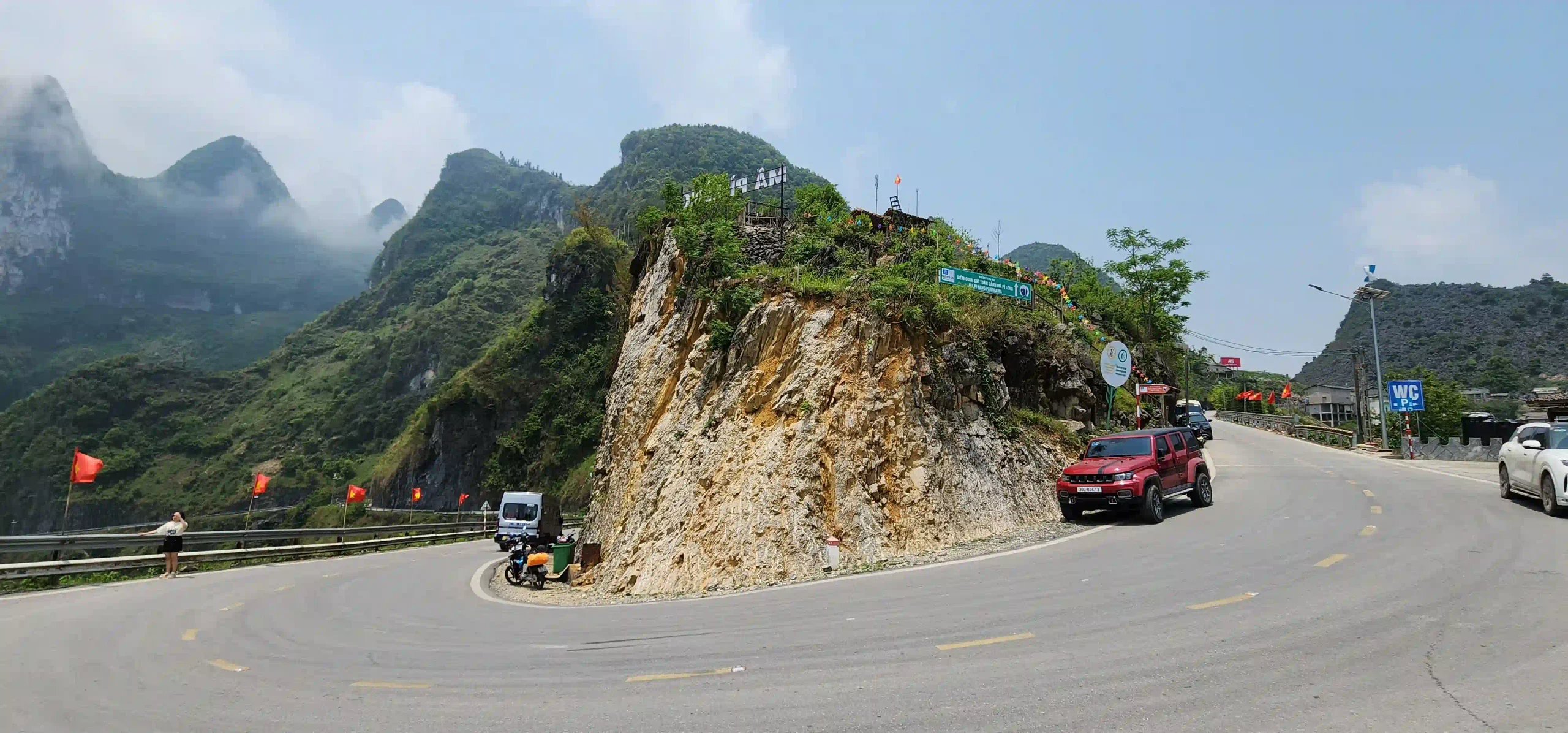
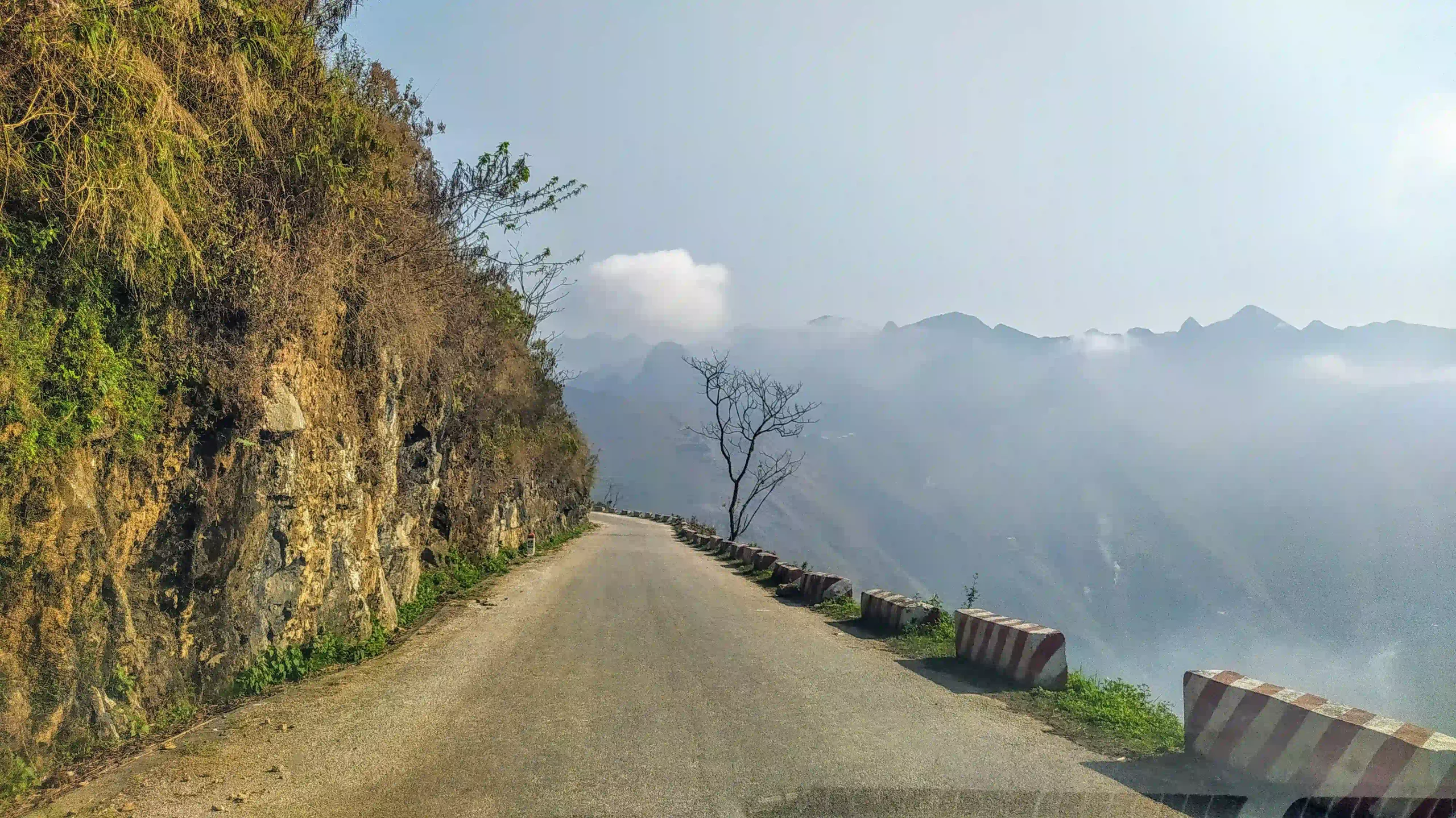
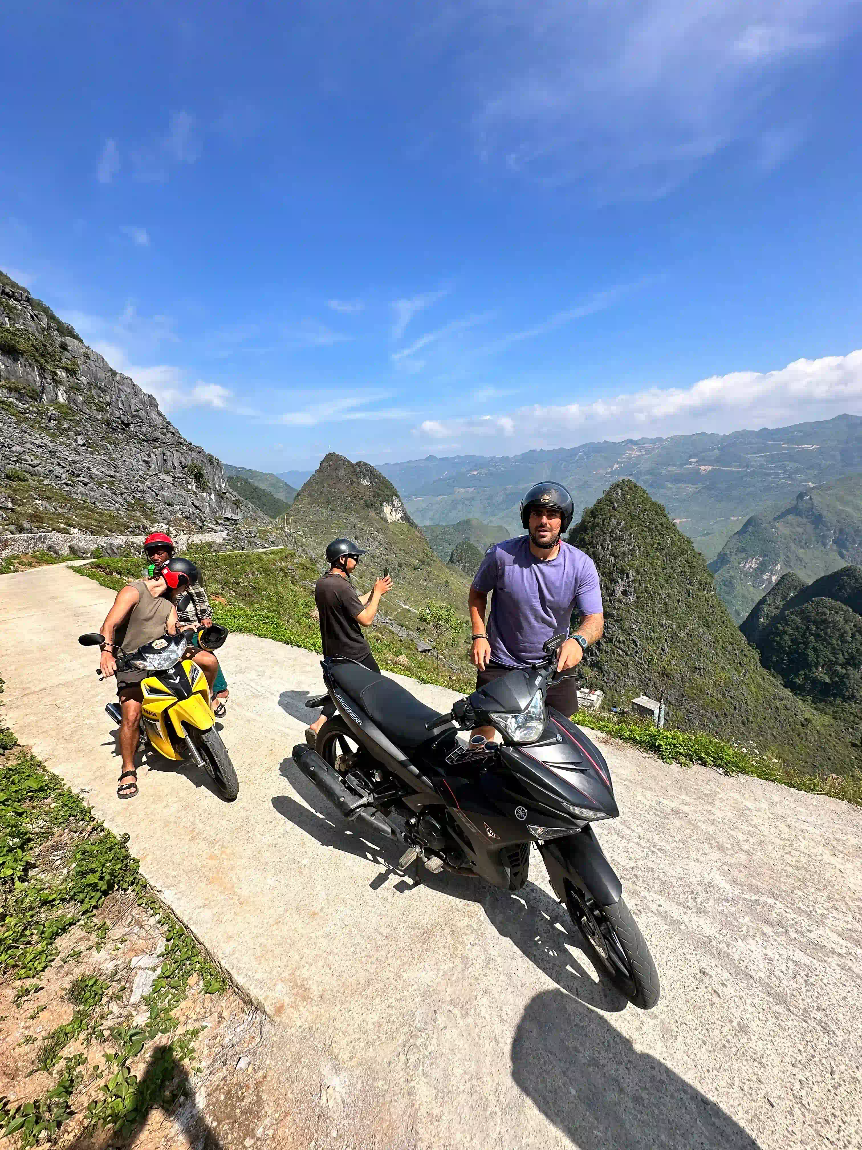
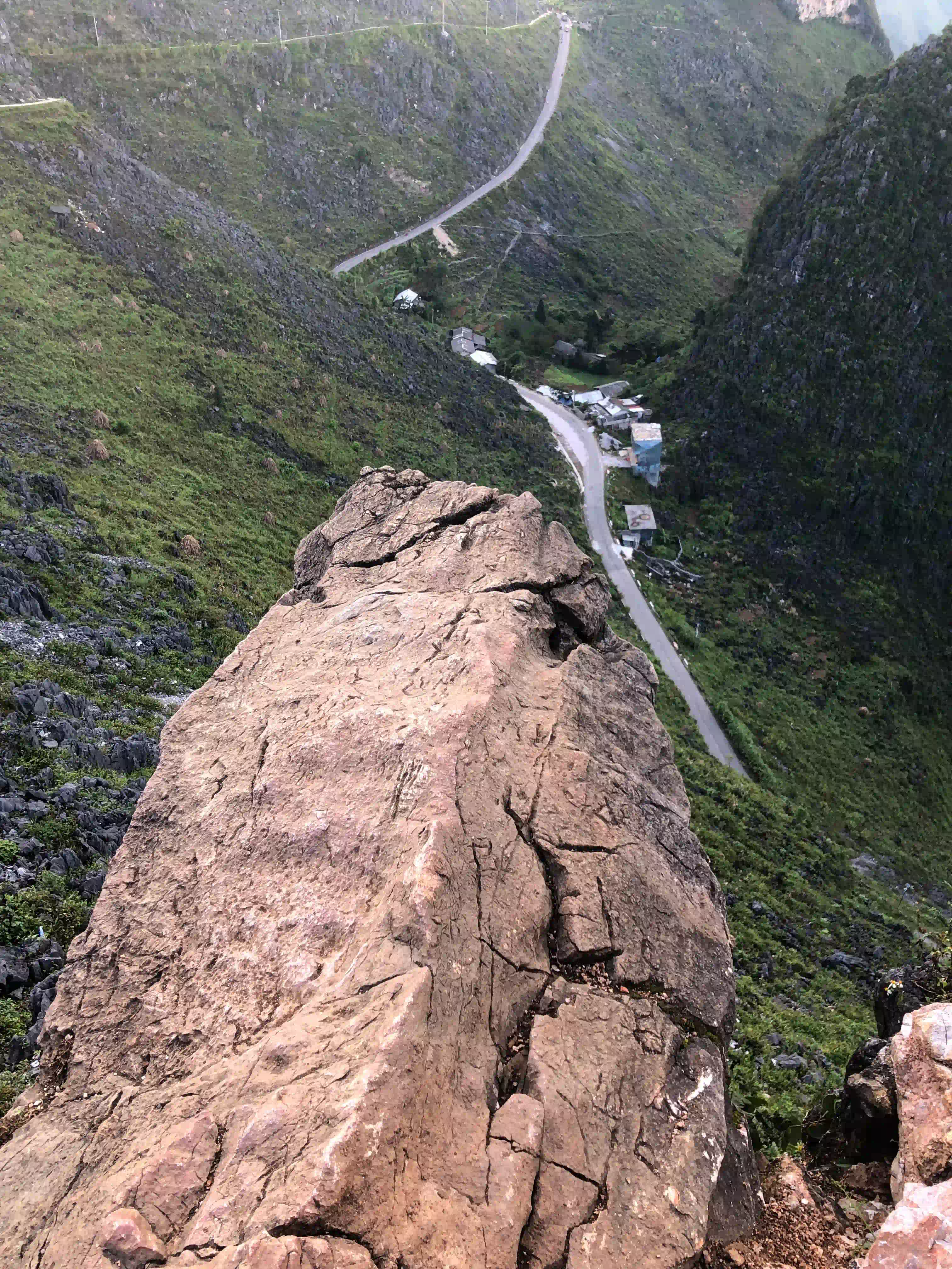
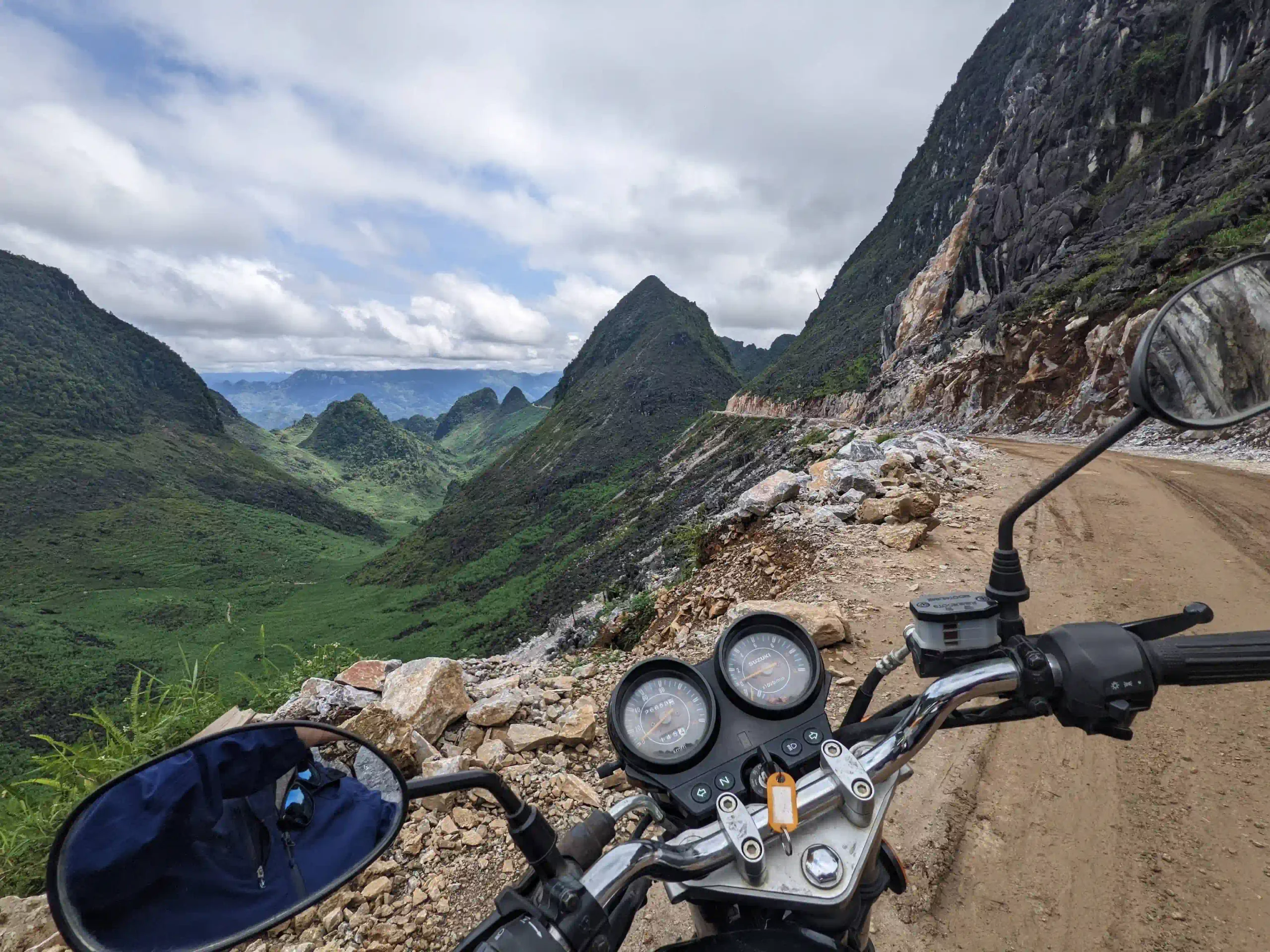
- Reality: yes, that’s what it is. The Nho Que is a thin green line at the bottom of Tu San Canyon, and the road runs along the cliff above it with a knee-high wall on the drop side, where there’s a wall at all.
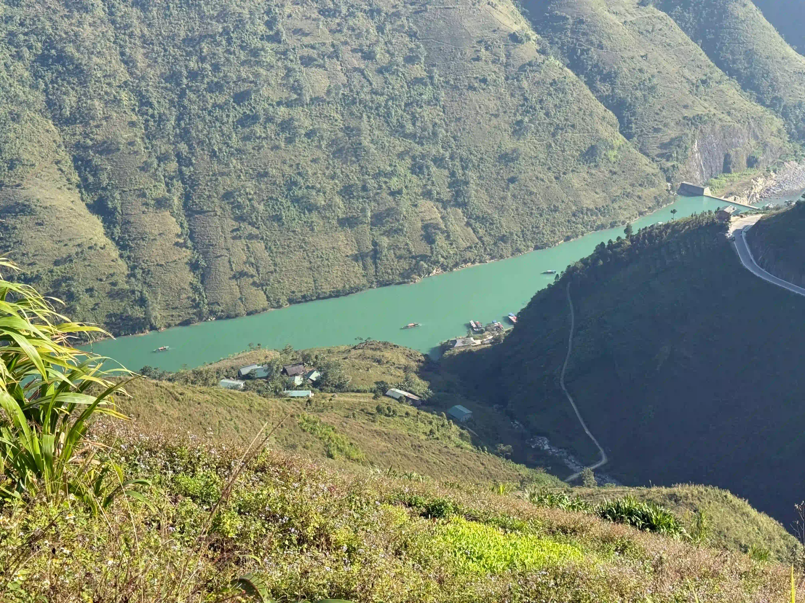
The Skywalk ledge.
- Expectation: you ride out to a rock hanging over nothing and take the photo alone.
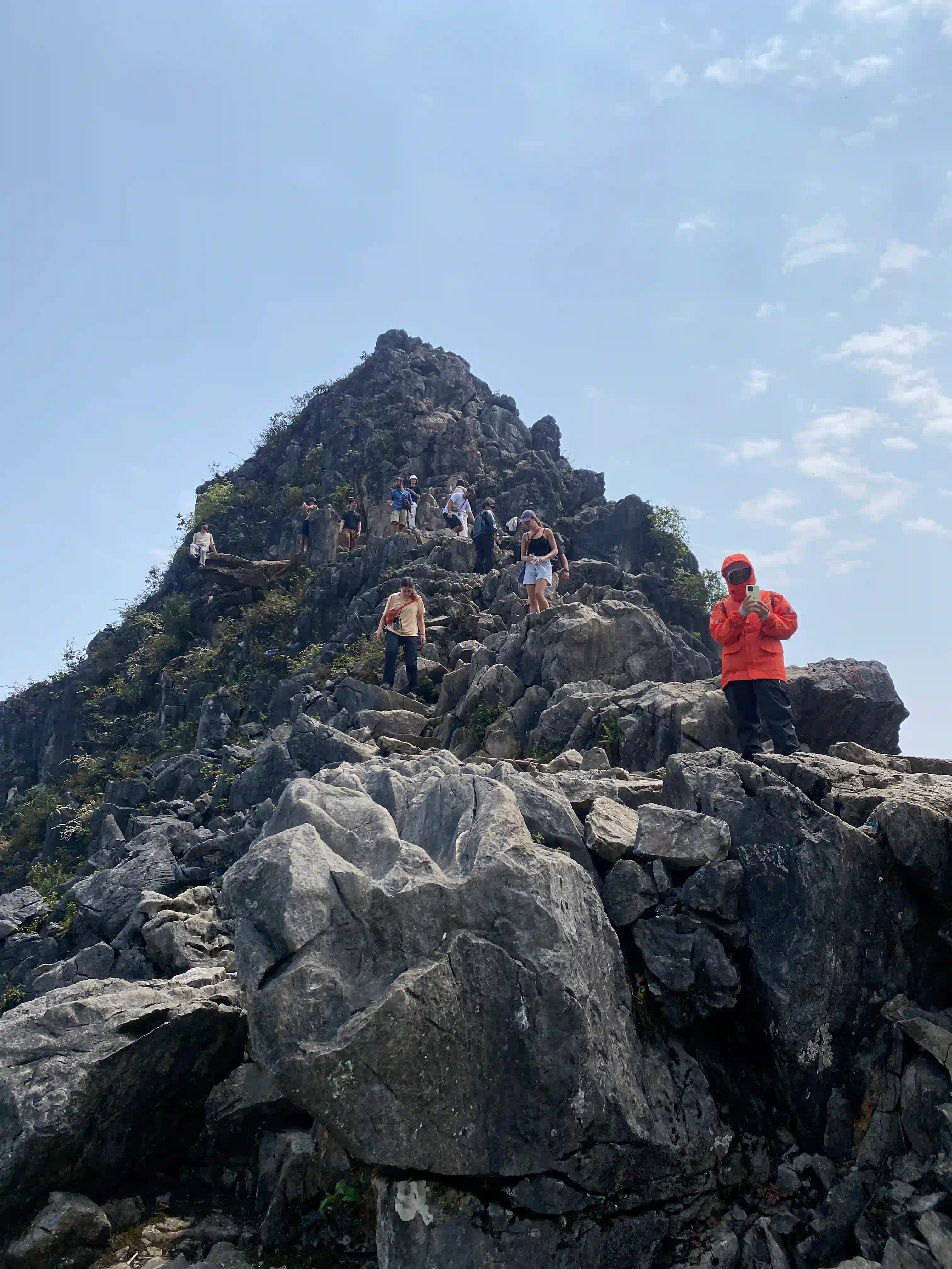
- Reality: motorbikes aren’t allowed on the path any more, there’s parking and a row of vendors at the bottom, and in the late morning there’s a queue for the top.
The Panorama viewpoint.
- Expectation: a viewpoint.
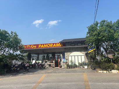
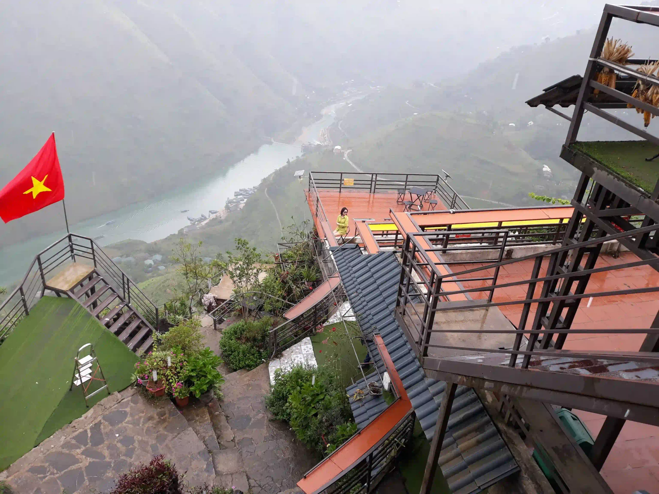
- Reality: a café with an entrance fee, photo props and very average coffee, next to a free lay-by with the same view.
Having it to yourself.
- Expectation: an empty mountain road.
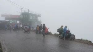
- Reality: from about nine until noon it’s every tour group out of Dong Van at once, plus coaches and trucks.
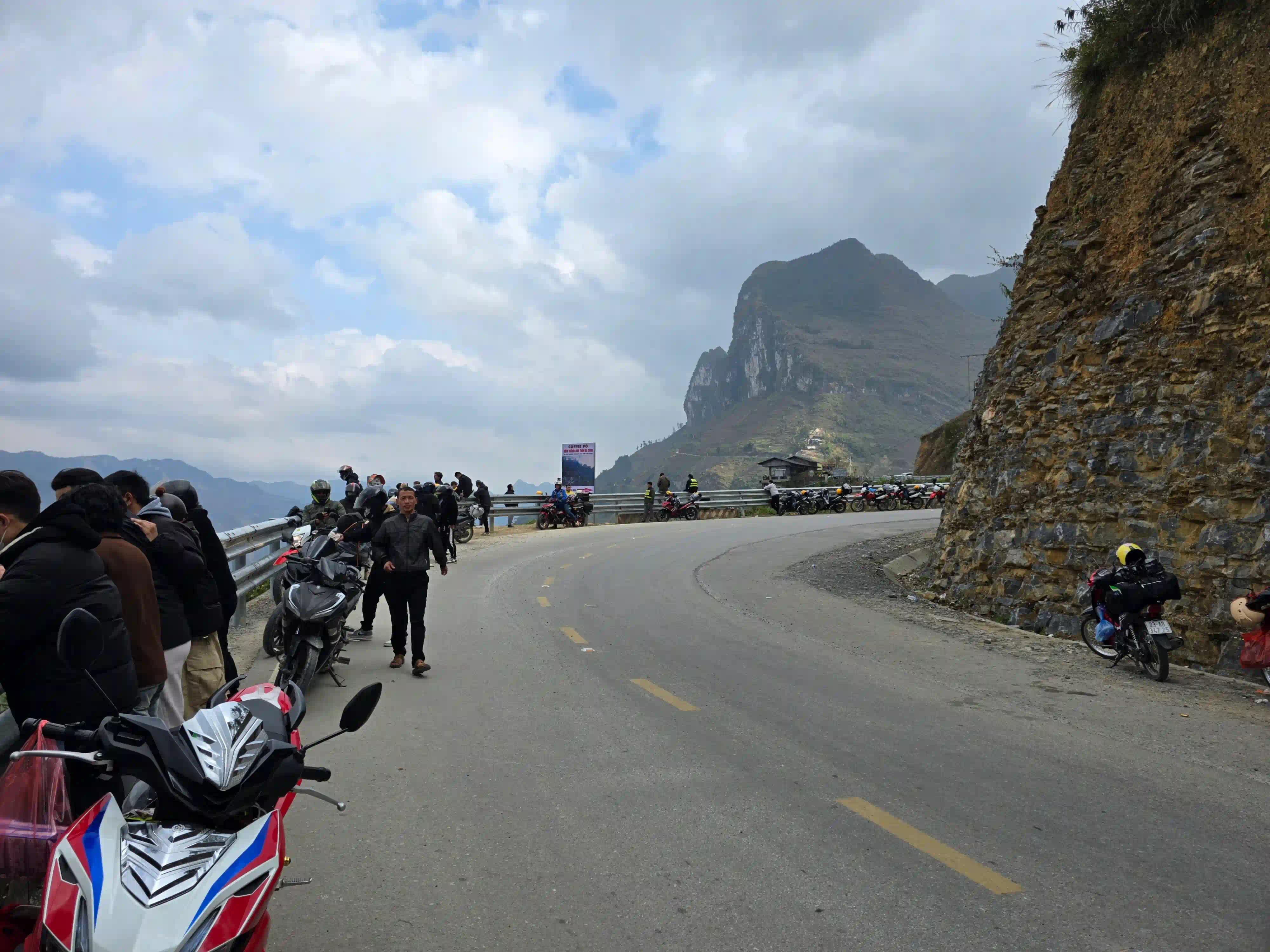
The weather.
- Expectation: blue sky.
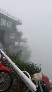
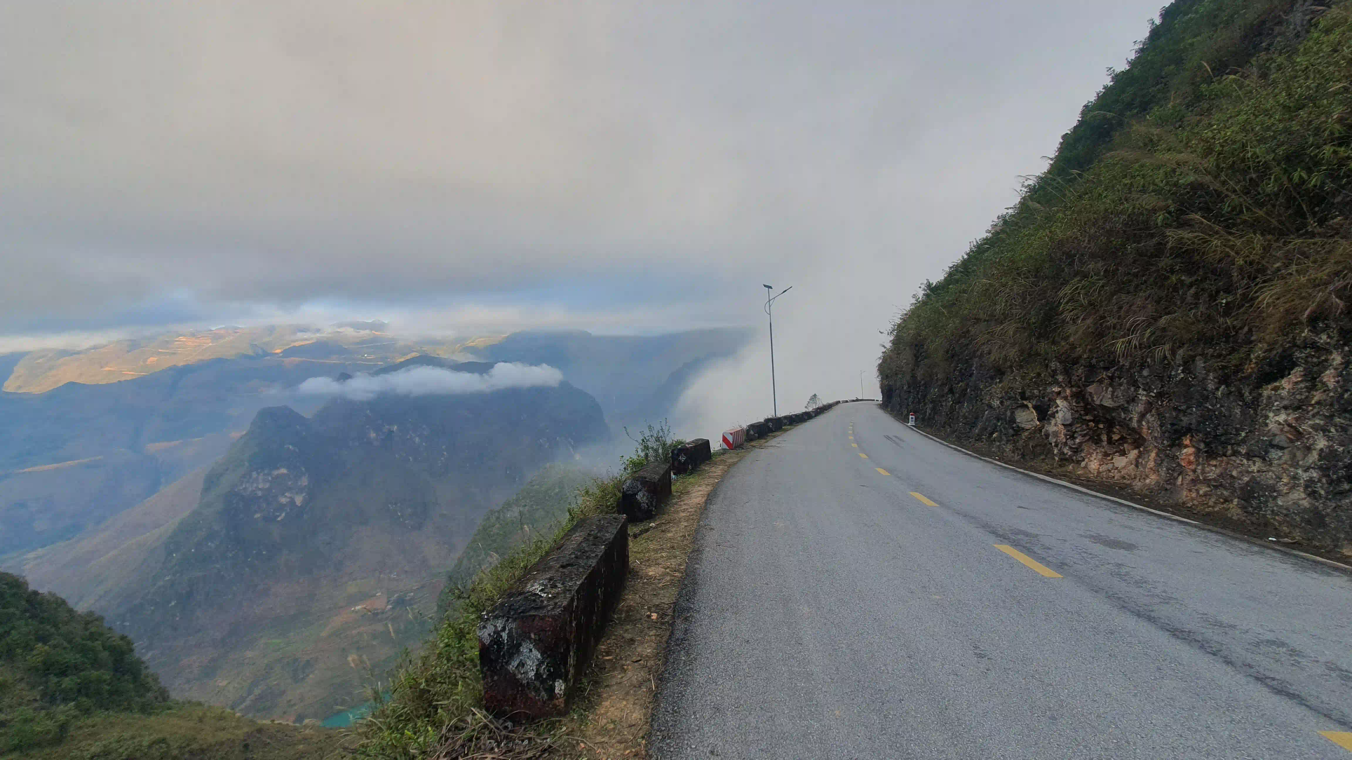
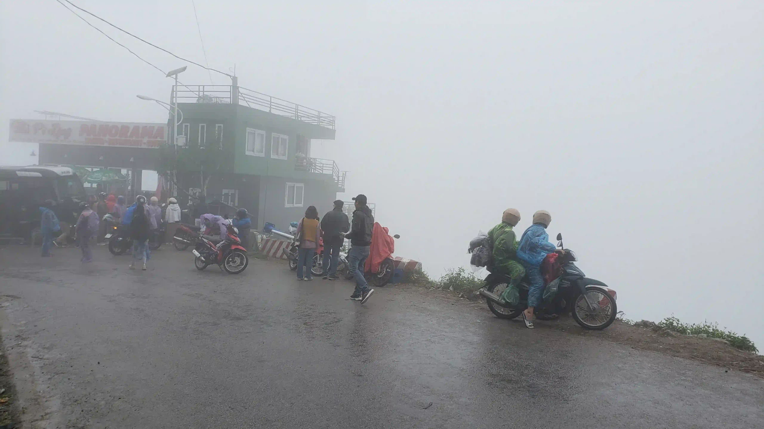
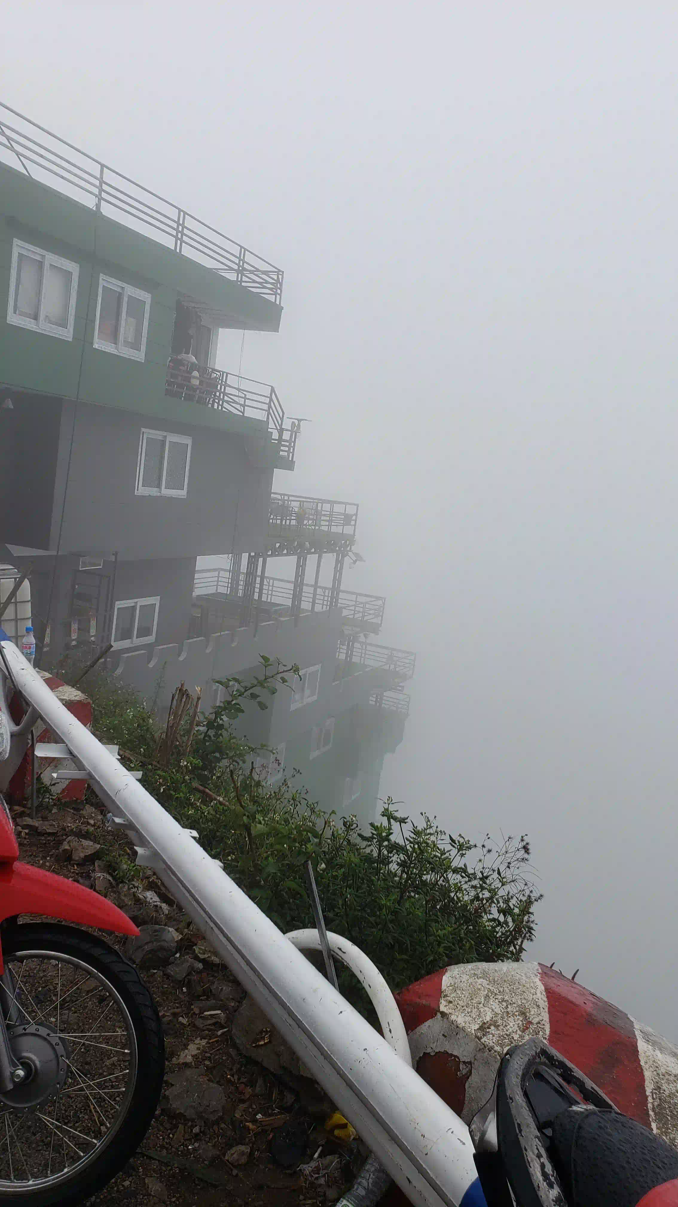
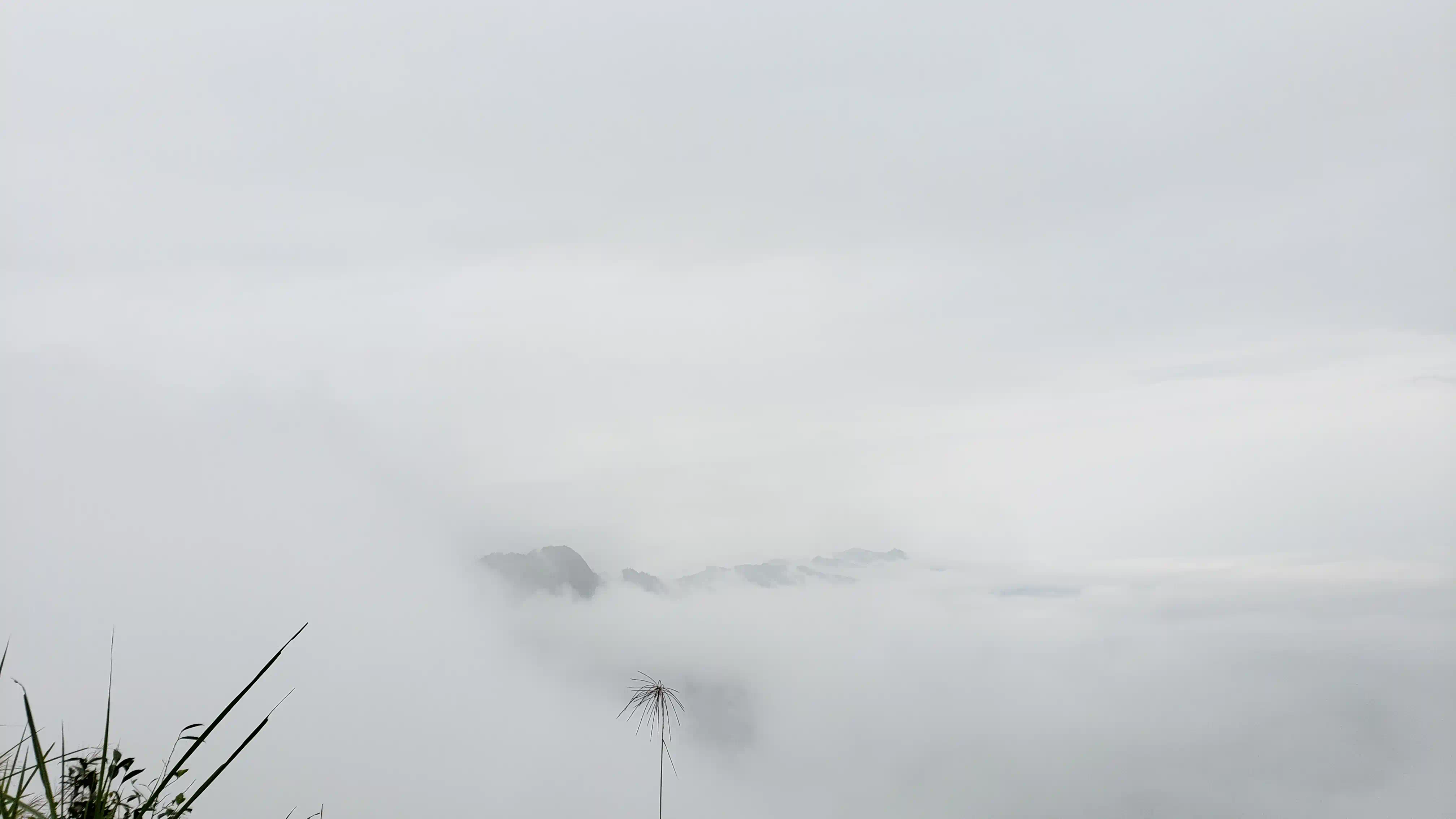
- Reality: fog can sit on the pass for hours from November to February, and in summer it’s hot and hazy by midday.
None of that makes it any less worth doing. It just means the good version of Ma Pi Leng is early, unhurried and mostly between the stops.
Where Ma Pi Leng Pass Is, and What You Actually Ride
Ma Pi Leng Pass, đèo Mã Pí Lèng in Vietnamese, runs for about 20km on QL4C from Dong Van to Meo Vac in Vietnam’s far north, and it’s part of the Ha Giang Loop on every route. The top sits at around 1,200 metres, and the name, in the local language, means the bridge of a horse’s nose, which after the climb makes sense. On an anticlockwise loop it’s the morning of day three, straight out of Dong Van after a night in town, which is in Dong Van Ancient Street.
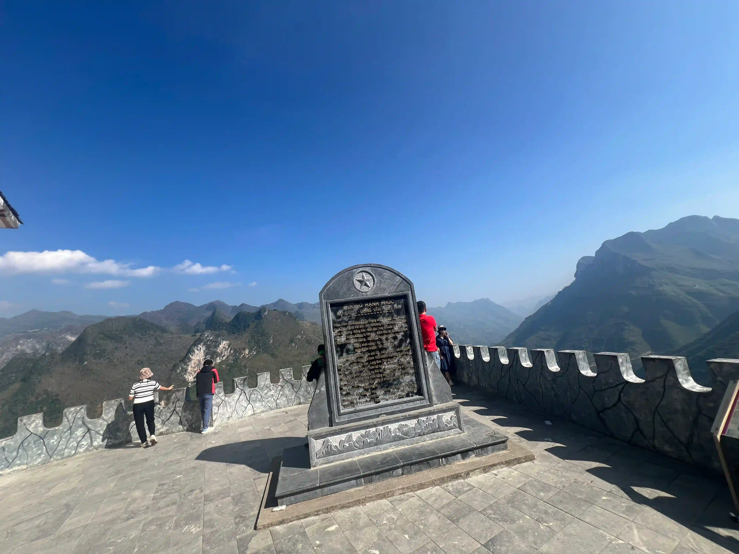
The road was cut by hand as part of the Happiness Road, built between 1959 and 1965 by young volunteers from sixteen ethnic groups. The Ma Pi Leng section alone took eleven months, and a team of seventeen worked hanging on ropes from the cliff face to cut the ledge the road sits on now. The Young Volunteers Monument at the top, with its stone stele, is the rest stop where most people pull in, and it’s where both of the walks below start.
Without stopping, the pass takes under an hour. With the stops, a coffee and the walk to the ledge, it’s two or three, and the road then drops towards Meo Vac with the turn-off for the Nho Que boat below. How it fits into the day is in the Ha Giang Loop itinerary.
The Ma Pi Leng Skywalk
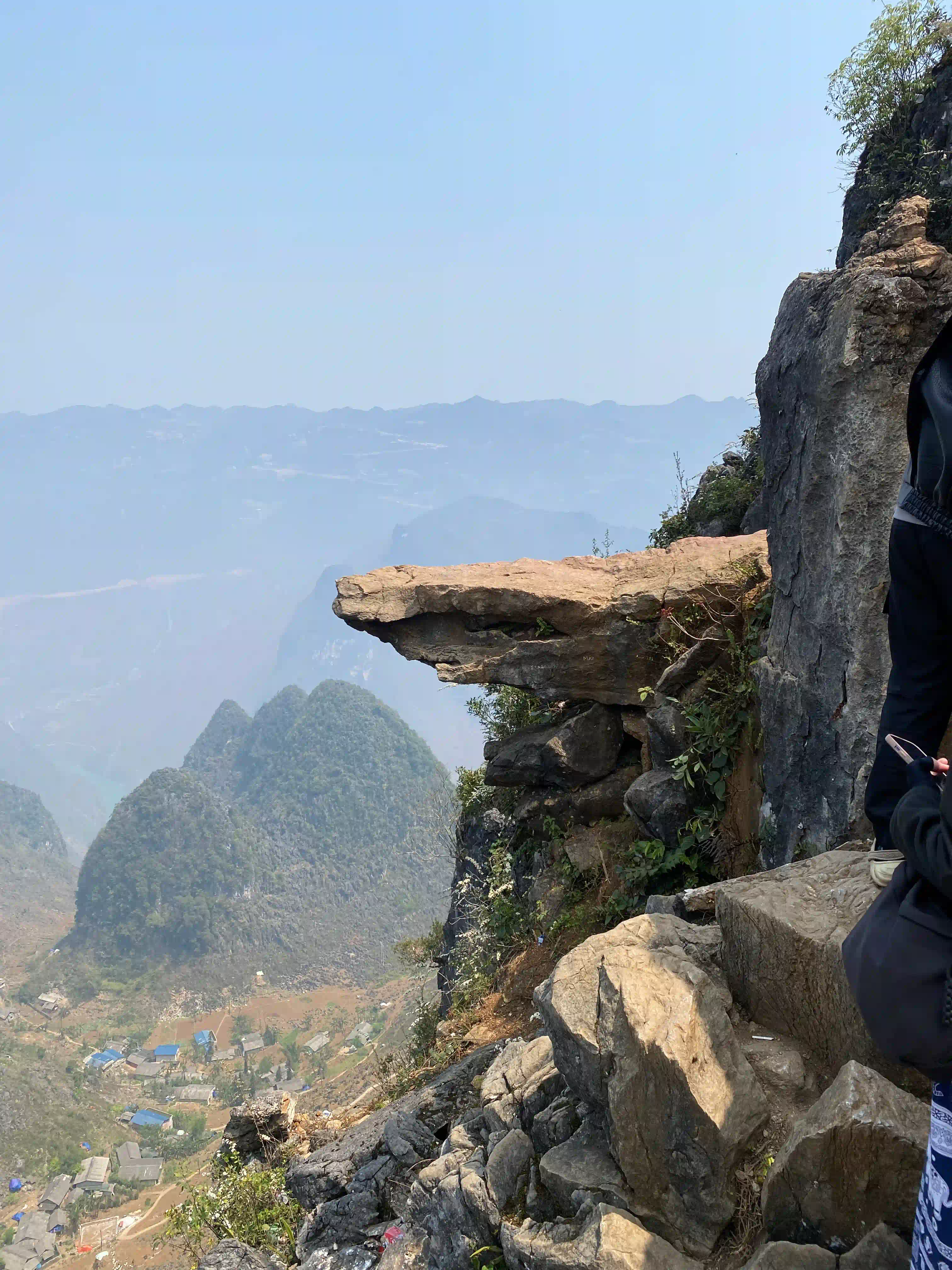
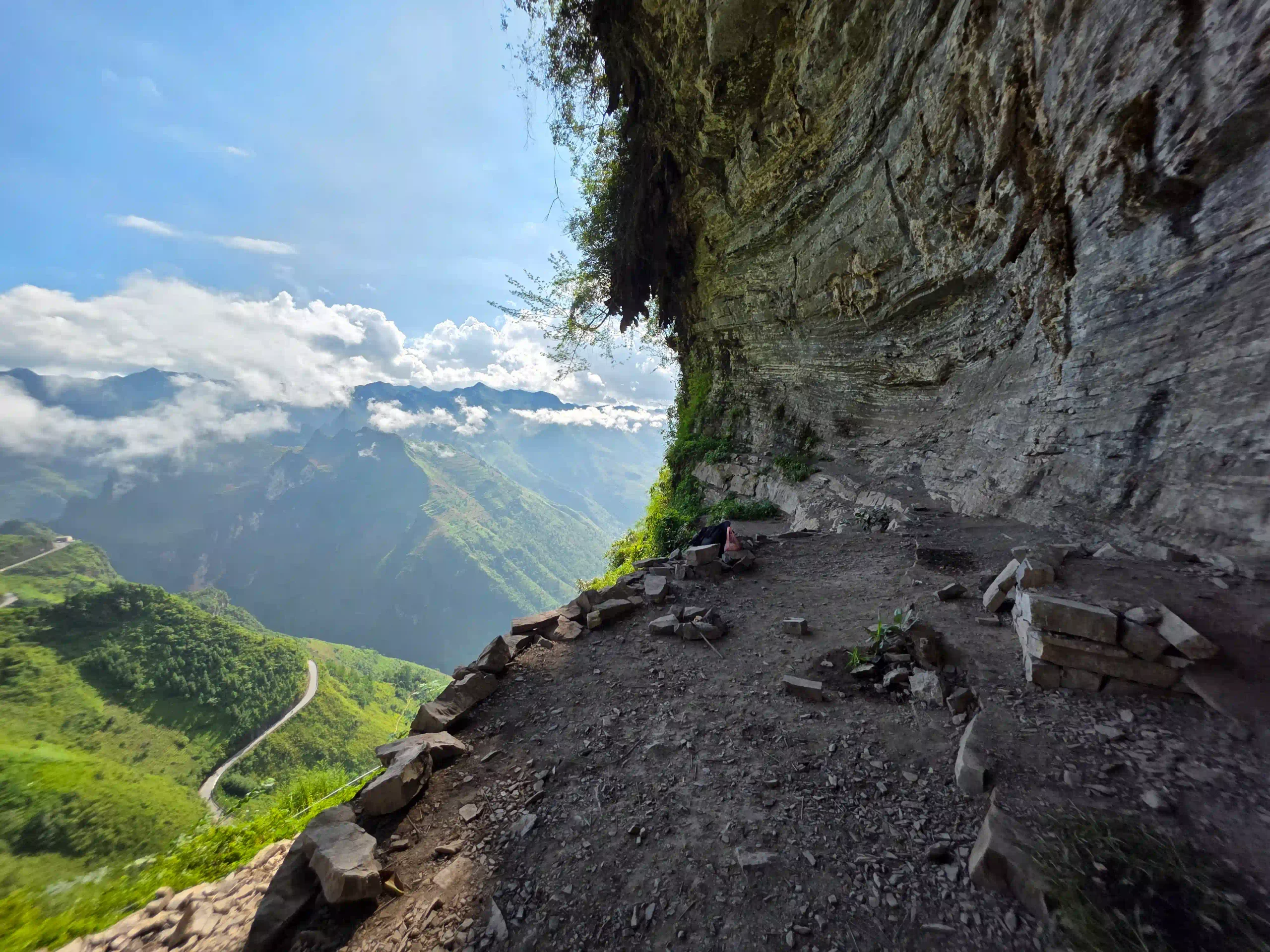
The Skywalk is a rock ledge sticking out over the canyon at the end of Đèo Gió, the Wind Pass, and locally it’s called mỏm đá tử thần, the death rock. People used to ride their bikes out along the narrow path to it. After a few accidents it was closed to motorbikes, and now it’s walkers only.
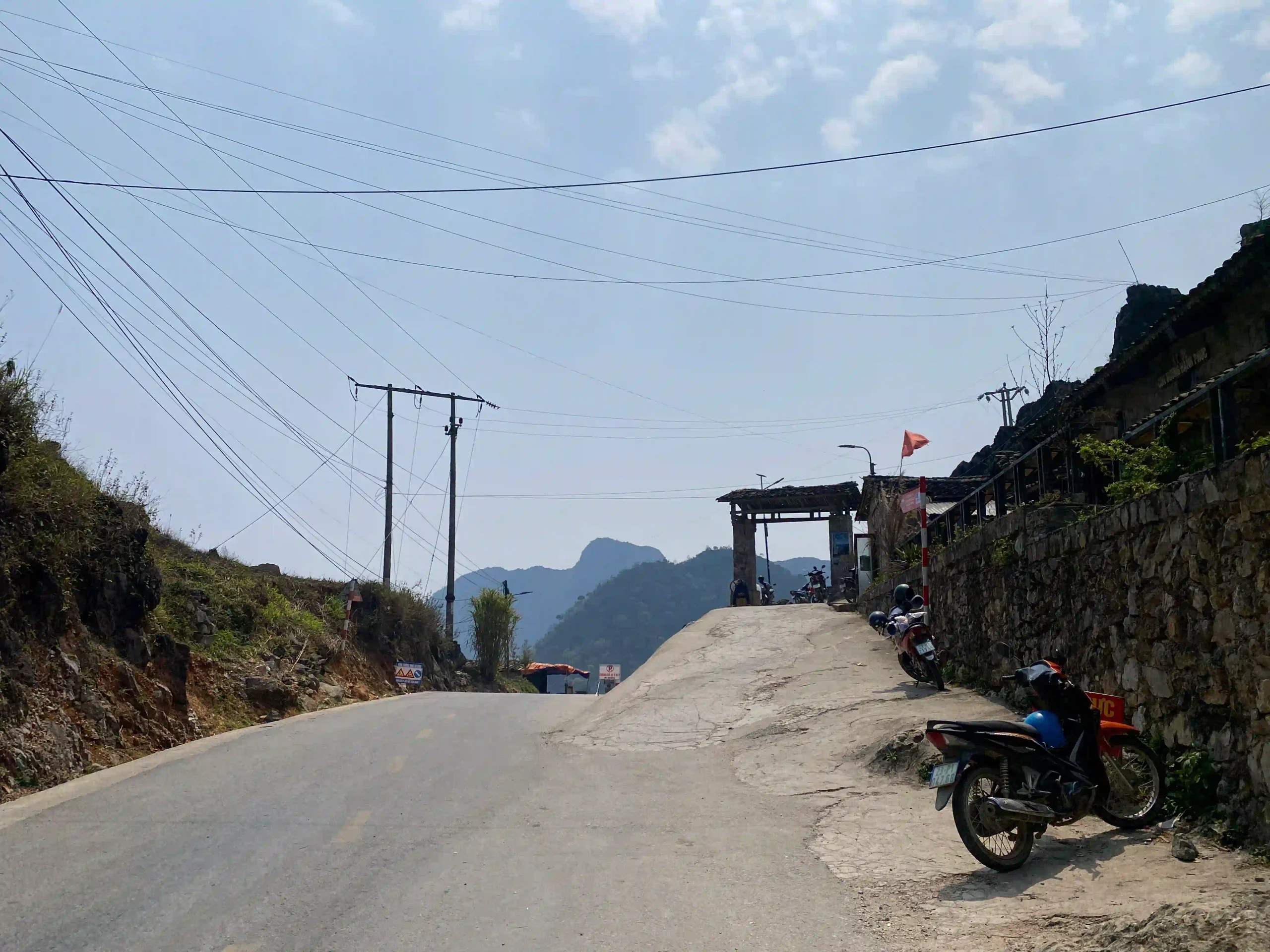
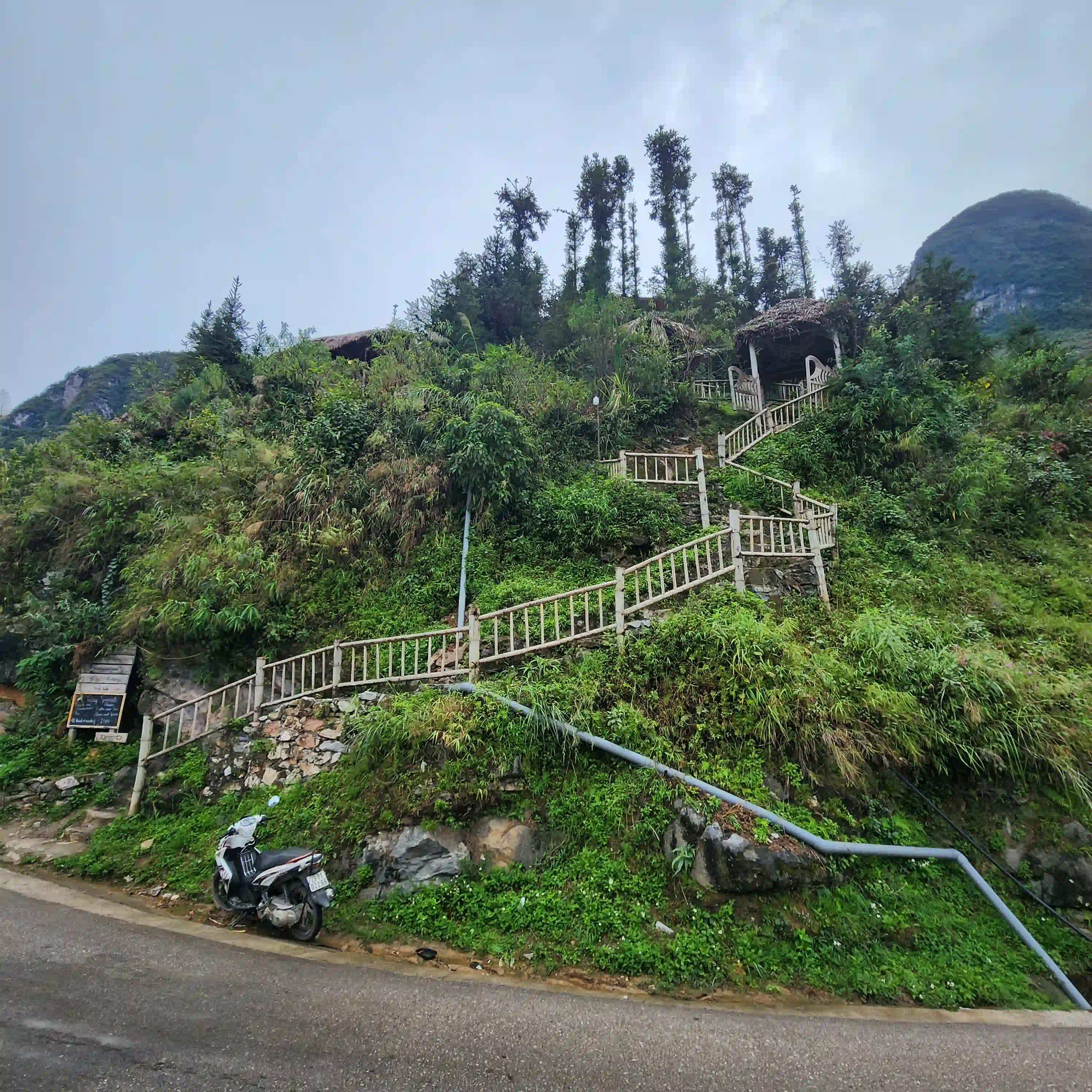
The reality of getting there is messier than the photos, and I’ve watched it get busier over the years. There’s parking and a line of vendors at the bottom, and some men at the start of the path offer motorbike taxis and can be quite insistent about it, which isn’t necessary.
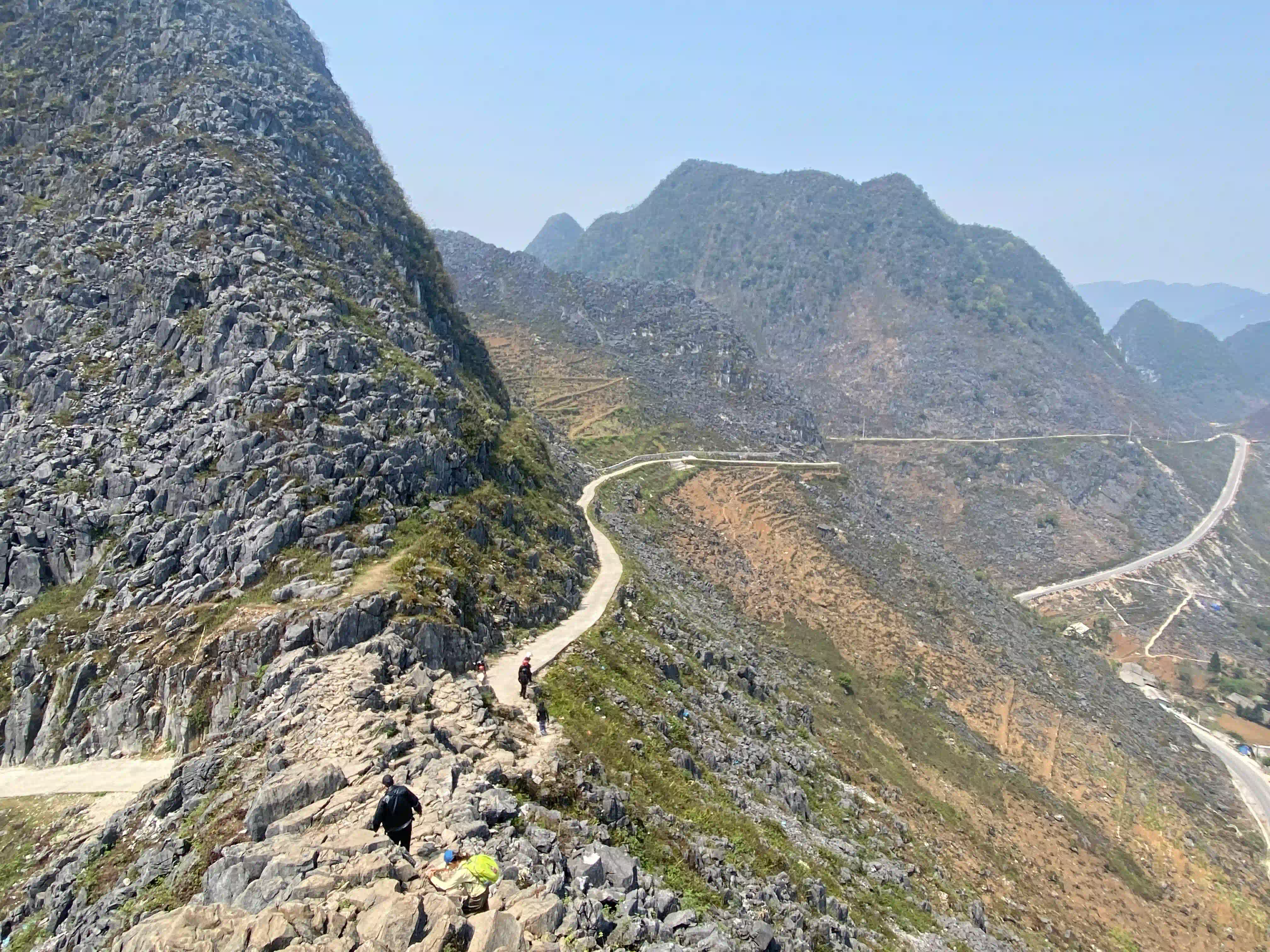
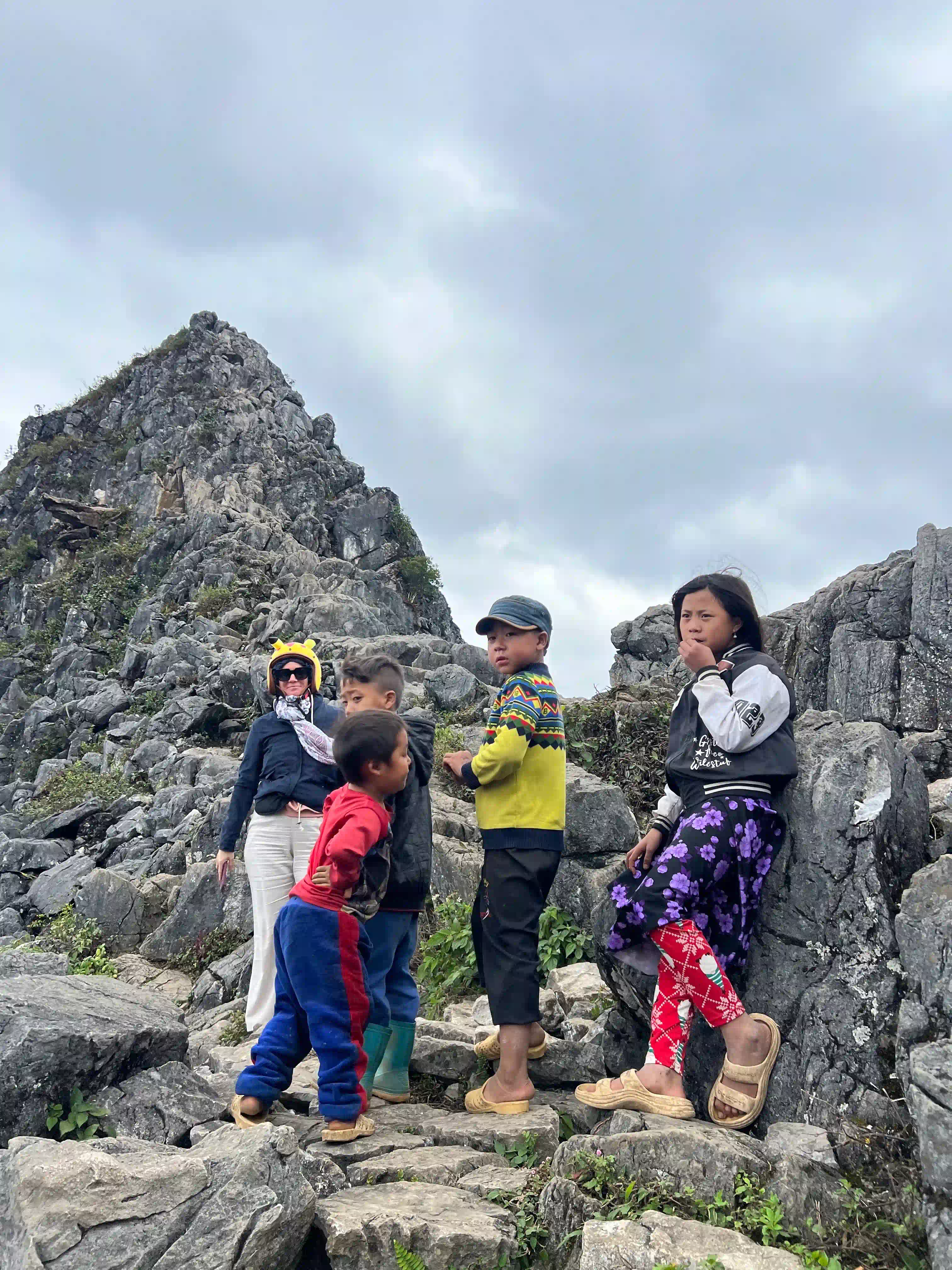
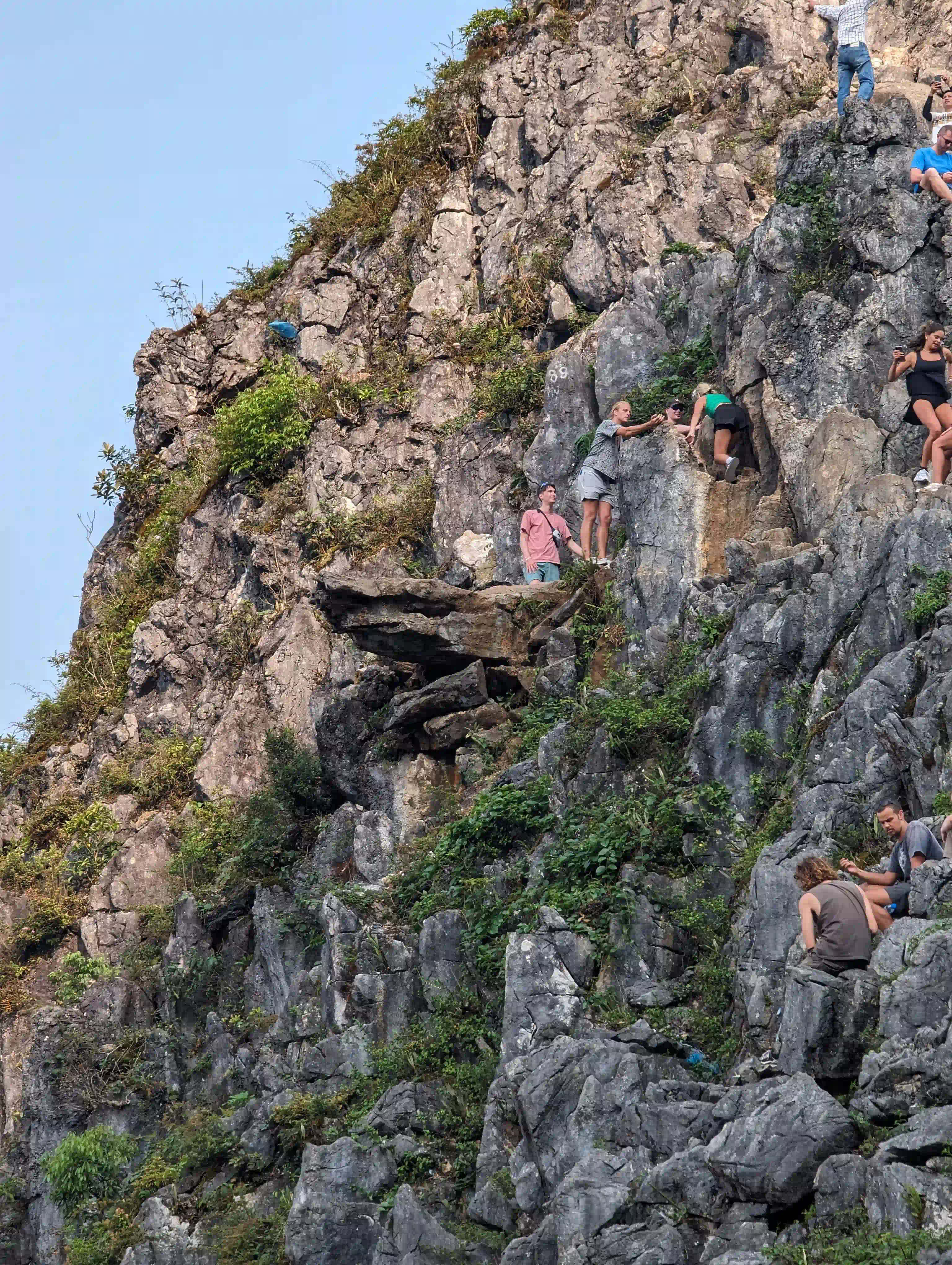
It’s a few hundred metres on foot. The last part is a scramble over rocks to the top of the ledge, with no railing and a very long drop, and when it’s busy people are squeezing past each other on a narrow top. Children sometimes follow visitors up asking for money.
I go early, before nine, when it’s quiet enough to get up and down without waiting, and I don’t go right out to the edge when it’s crowded, which is when it’s actually risky. The view from just below the top is nearly as good. If there’s a queue of people on the ledge, it isn’t worth joining.
The Sky Path Hike to the White Cliffs
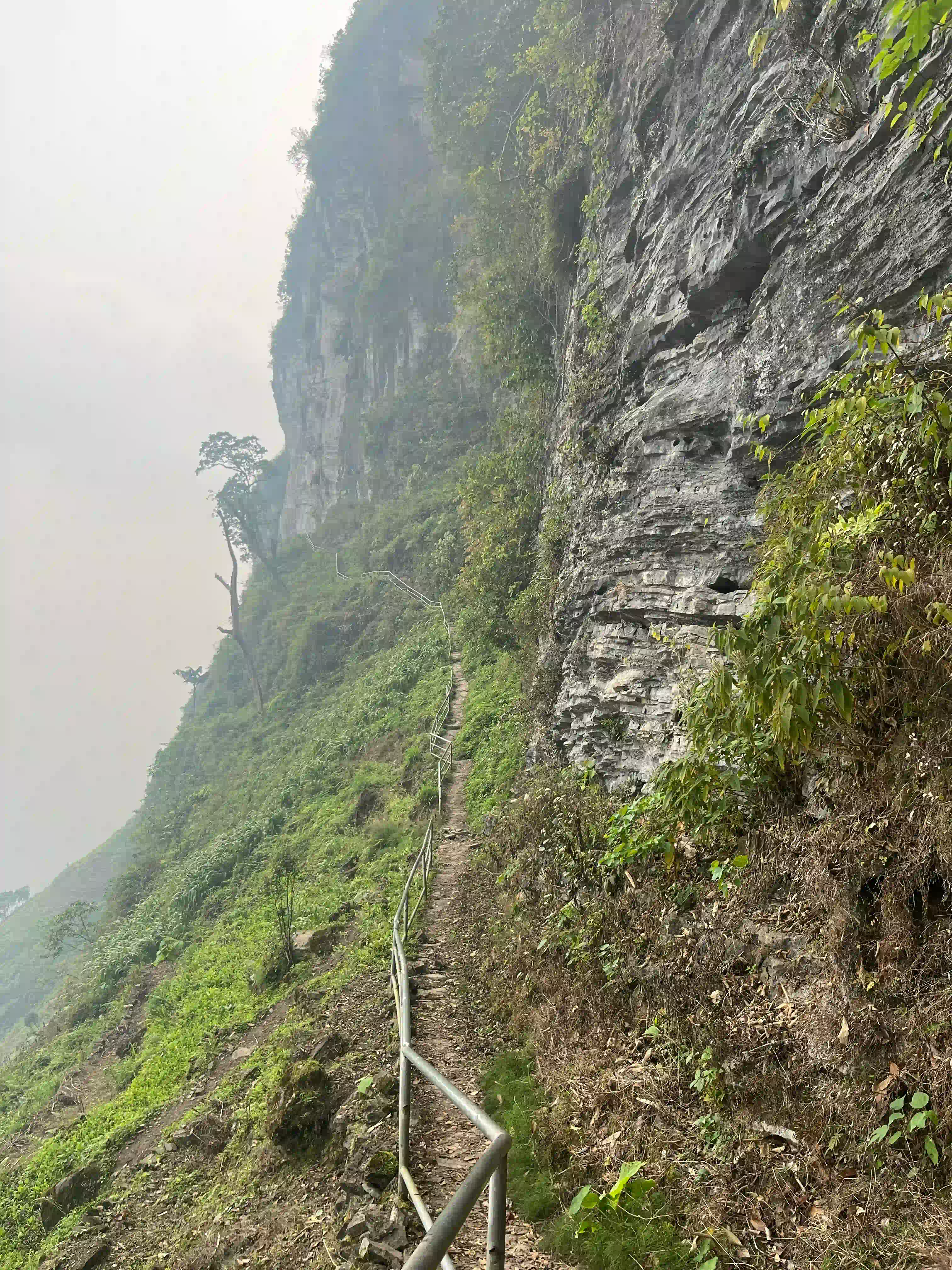
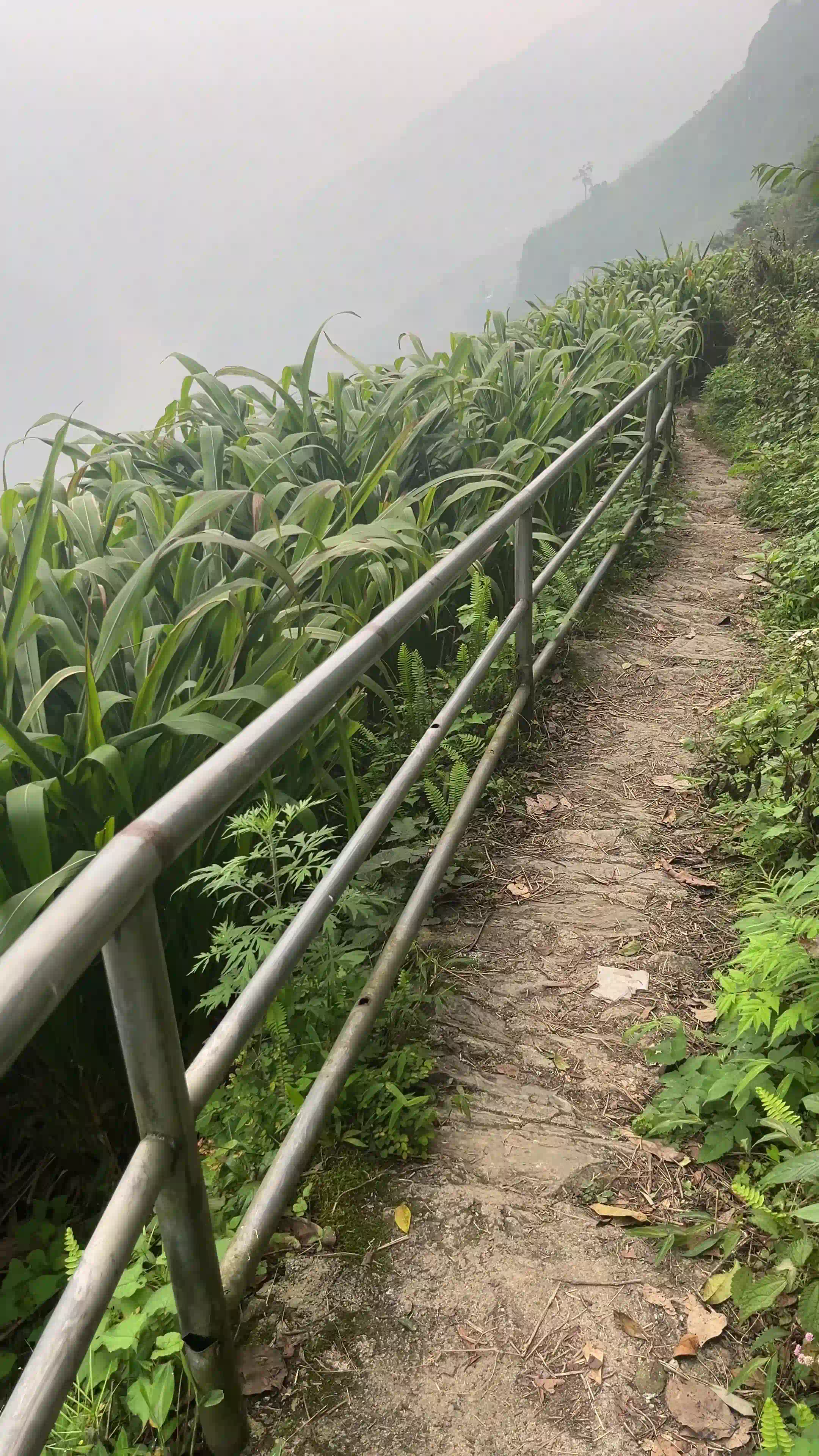
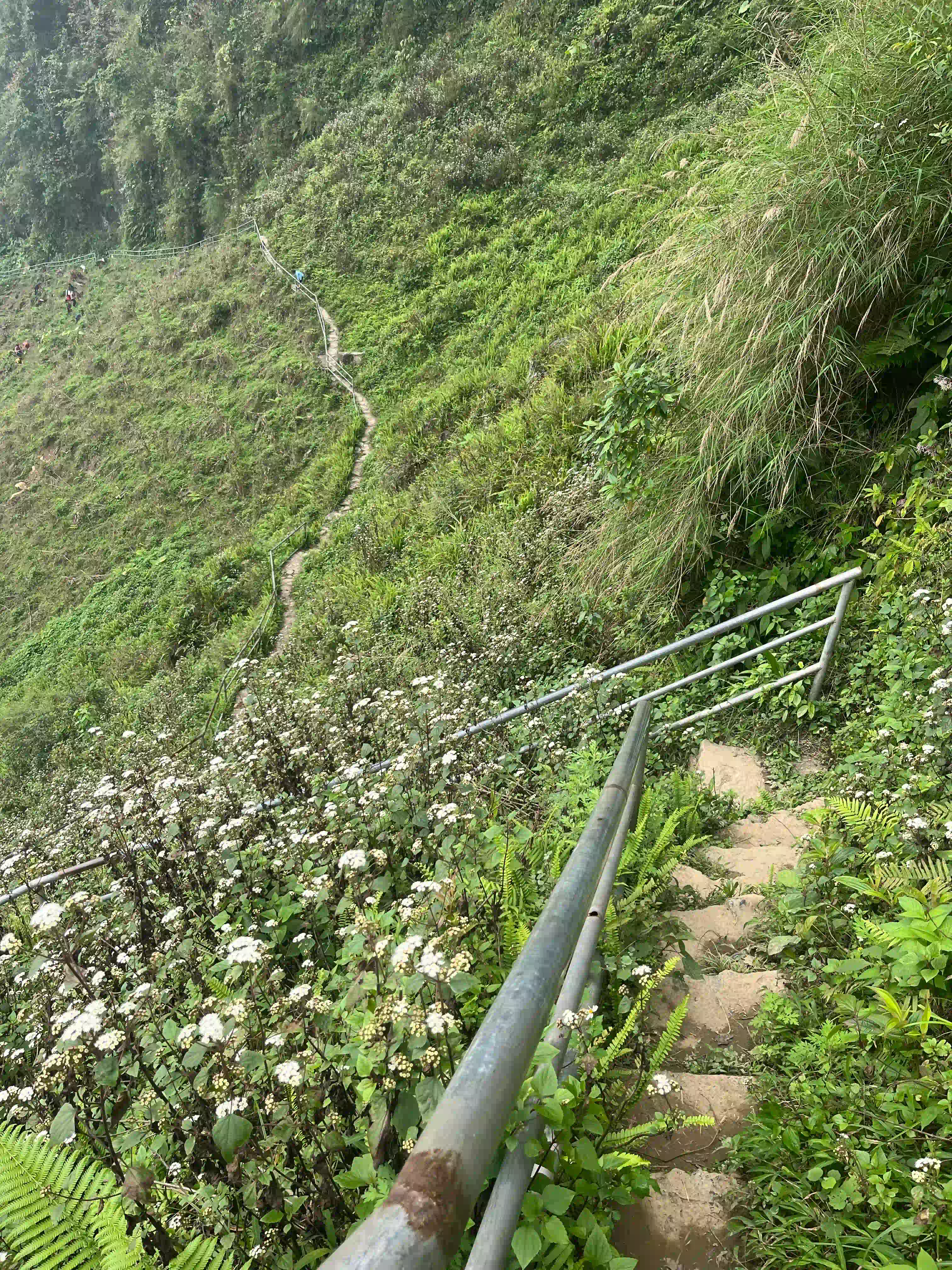
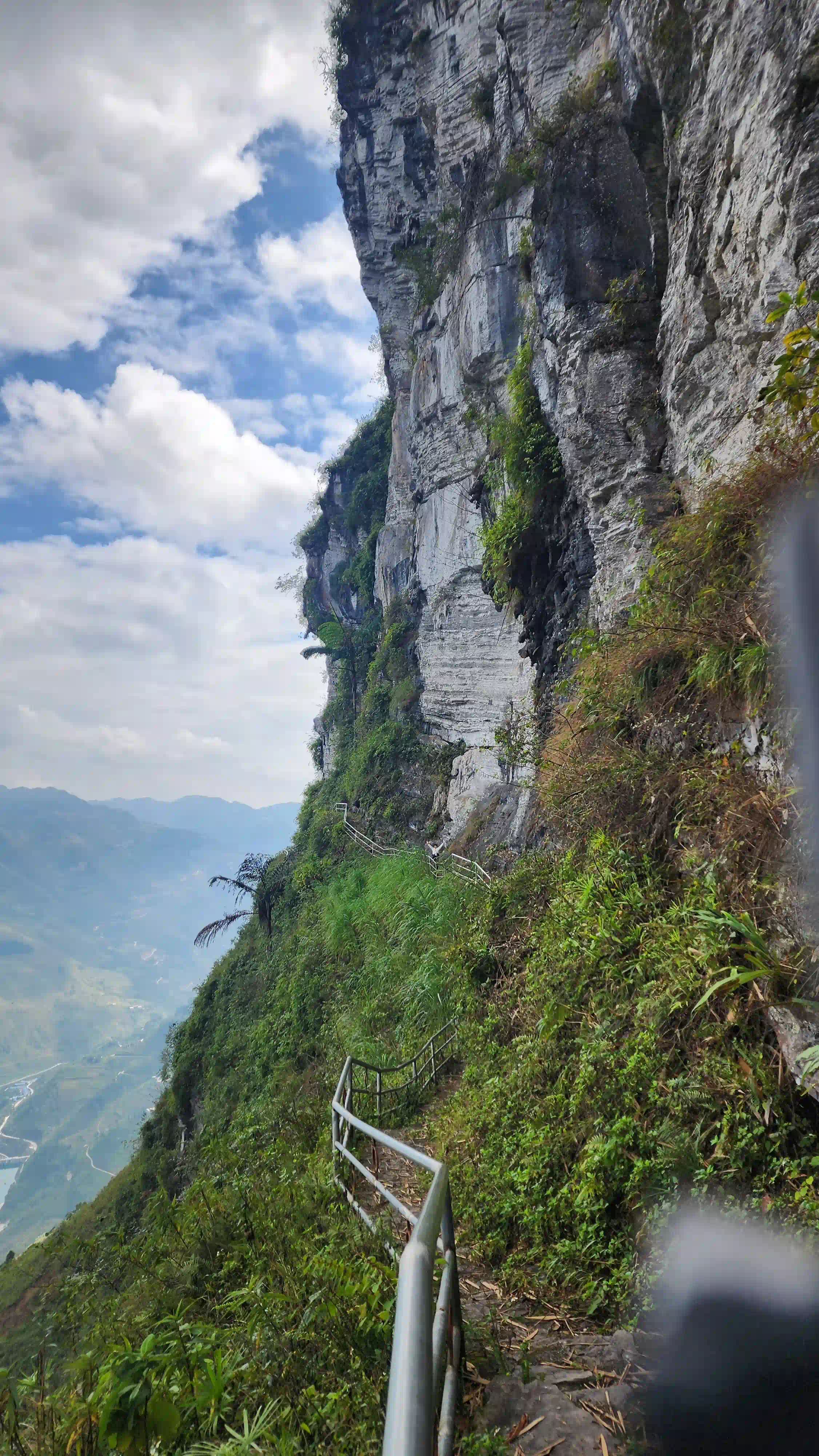
Past the ledge, the path keeps going as a footpath along the cliff, and this is the Sky Path. The full walk, from the monument round to the white cliff face of Vách Đá Trắng and down to the next village, takes about two hours and comes out on the main road, where you’ll need a lift back to your bike. I’ve done the full walk, it’s the best one on the whole loop, and very few groups do it.
It’s a proper trail. Trekking shoes help, the grass is soaking with dew in the morning and slippery after rain, and some sections are exposed. There’s also a shorter version, a motorbike taxi of around 100,000 VND to a point about 600 metres from the cliffs and a walk from there. About 700 metres from the Sky Path is Mắt Mã Pí Lèng, the Ma Pi Leng Eye, a natural hole through the rock at about 1,300 metres that frames the valley, and it’s free.
On a tour there isn’t time for the whole walk. Riding yourself, it’s worth an early start from Dong Van to fit it in.
Ma Pi Leng Panorama: The Café Viewpoint
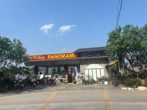
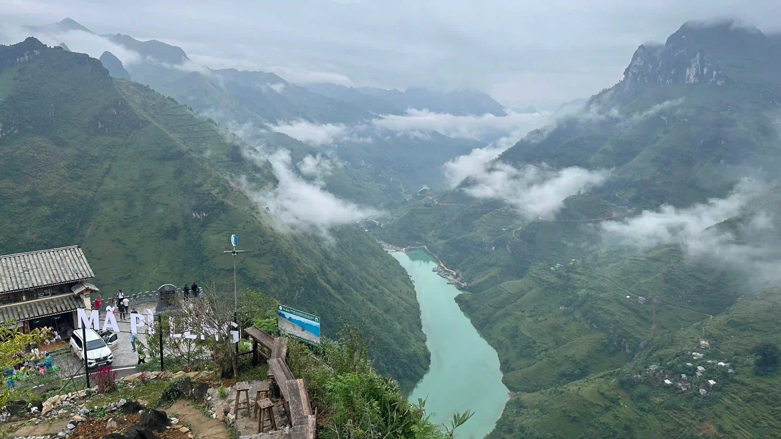
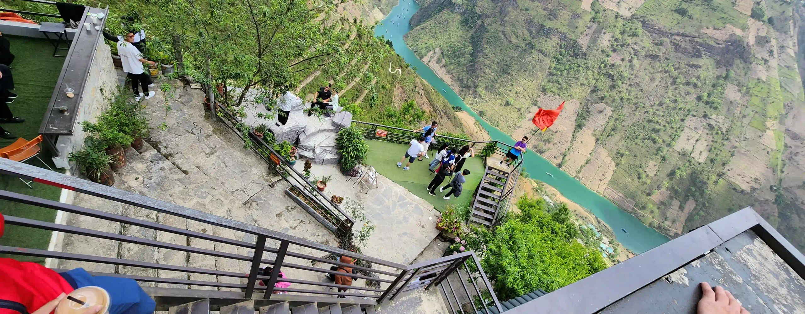
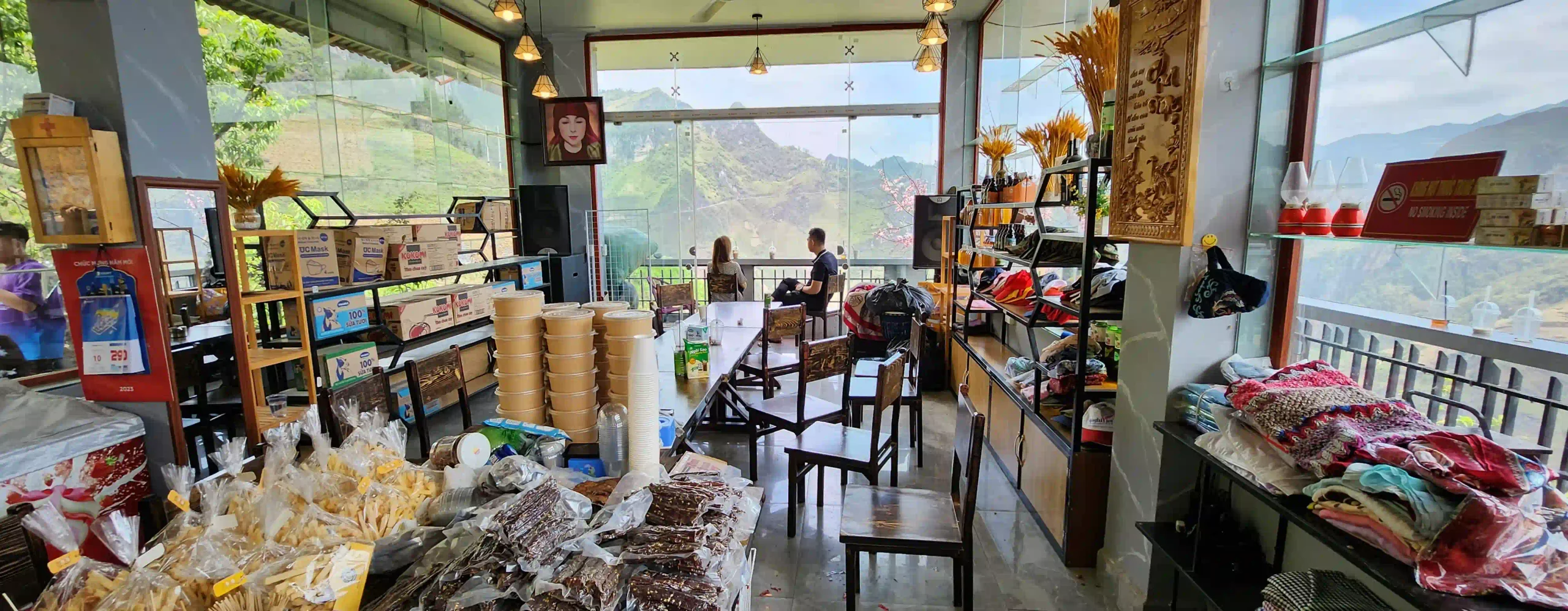
Ma Pi Leng Panorama is a café and small hotel built on the cliff edge further along towards Meo Vac, and it’s the Ma Pi Leng viewpoint a lot of the canyon photos come from. Entry is 30,000 VND, or 60,000 VND with a drink, and inside there are platforms and props set up for photos.
The coffee is poor and the parking is usually full. The building was controversial when it went up in 2019, and the ministry ordered it reworked to sit better in the landscape.
A short way along the road there’s a free roadside lay-by with the same view of the river bend and no coffee. That’s where I stop. I paid the 30,000 once for the platform and haven’t been back in. If you want a sit-down with the view, the café does the job, and it’s quieter first thing in the morning.
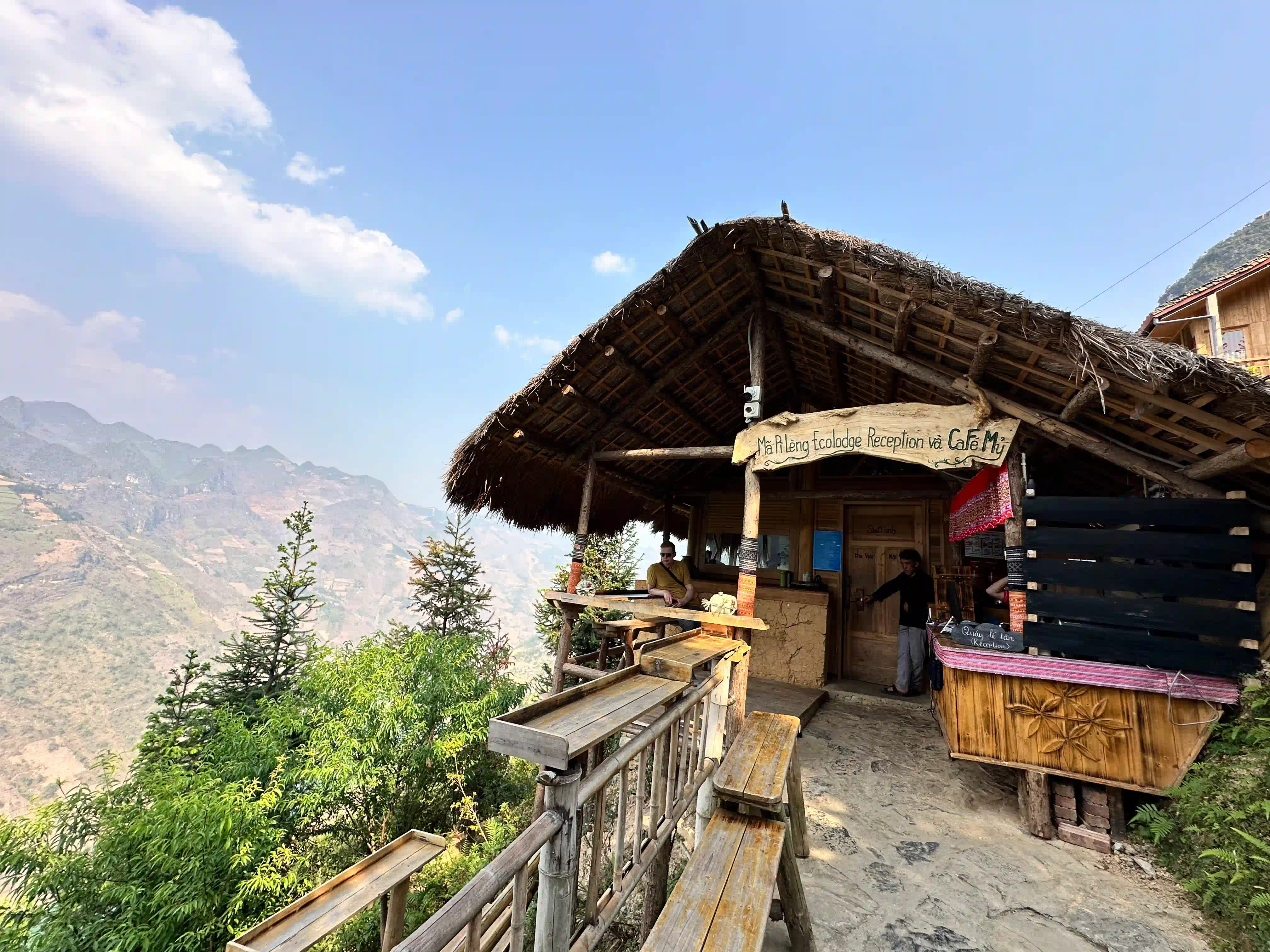
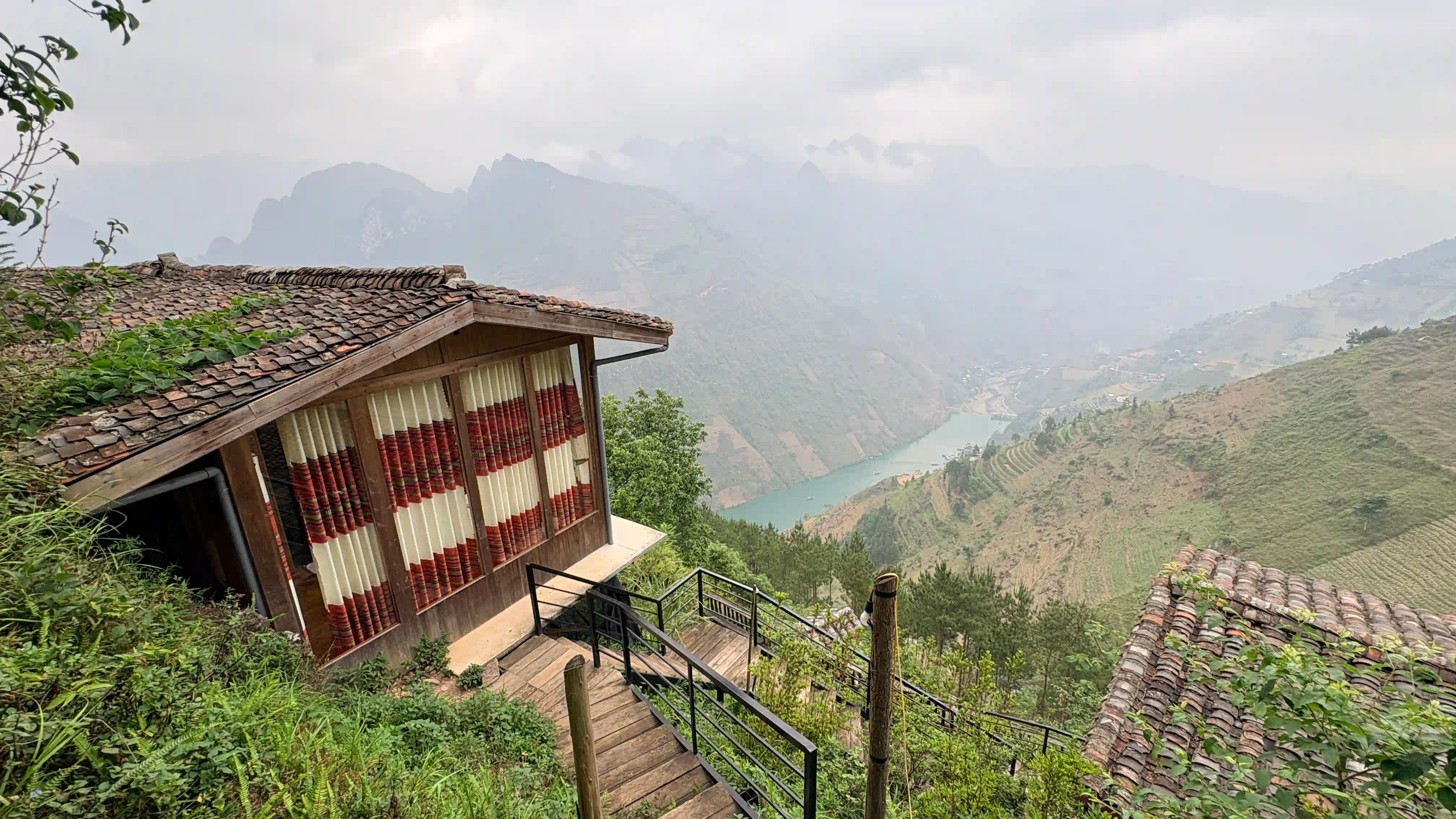
Mã Pì Lèng EcoLodge, just below the road near the Panorama, is the one place to sleep right on the pass. The view from the rooms is enormous, and it’s pricey for the area, with a lot of steps and road noise from early morning. Most people sleep in Dong Van or Meo Vac, and the options are in where to stay in Ha Giang.
Is Ma Pi Leng Pass Dangerous?
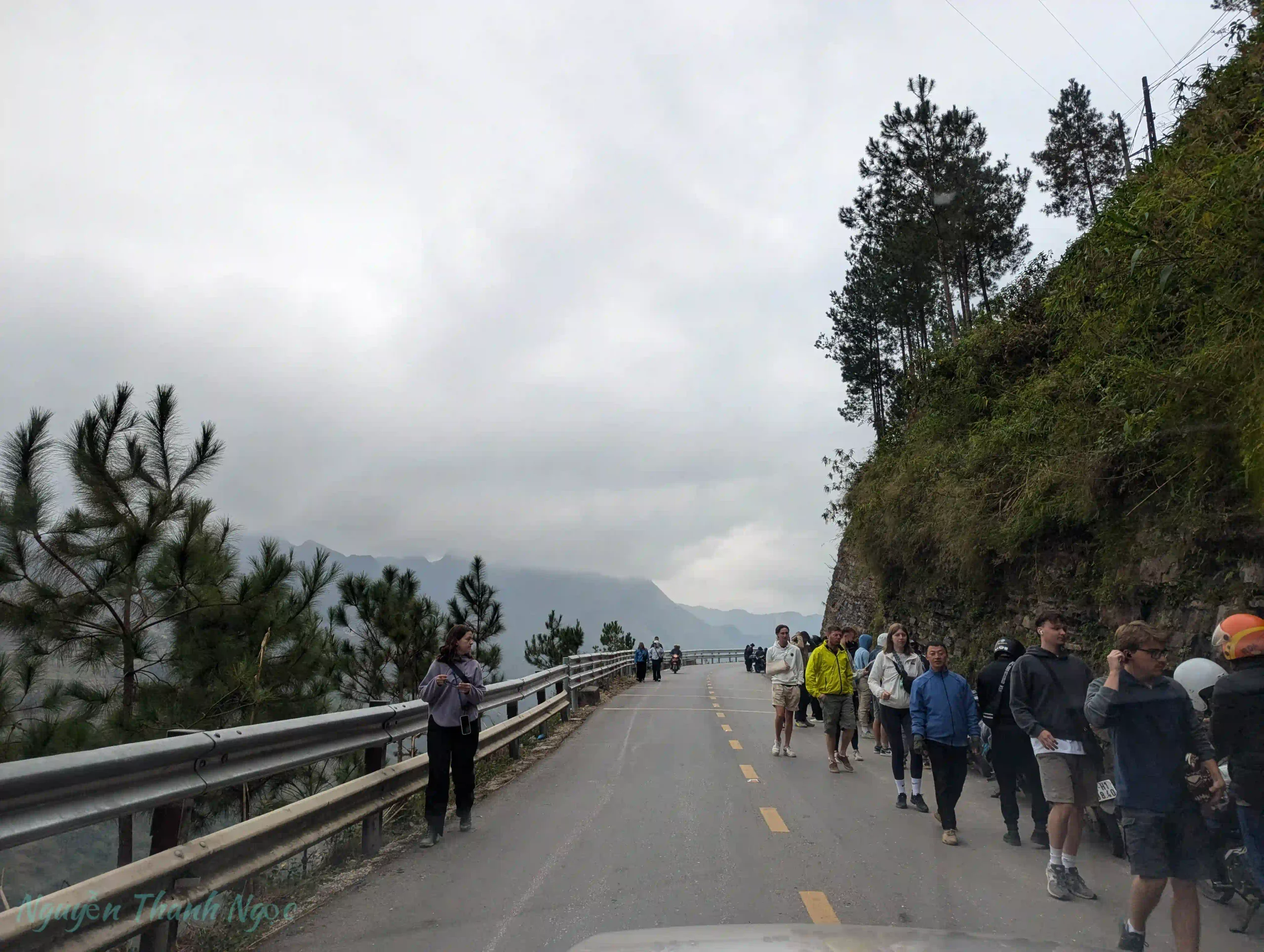
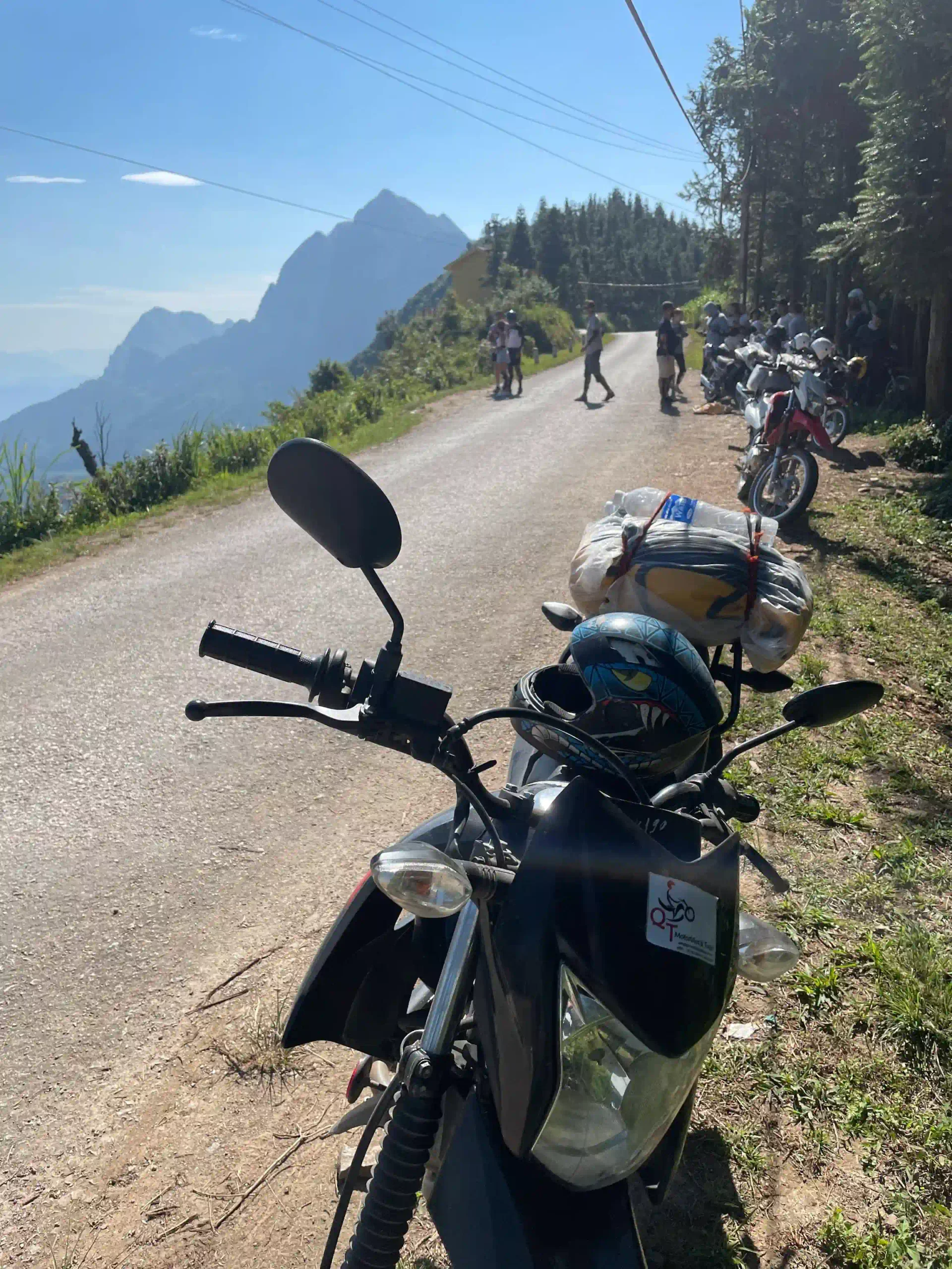
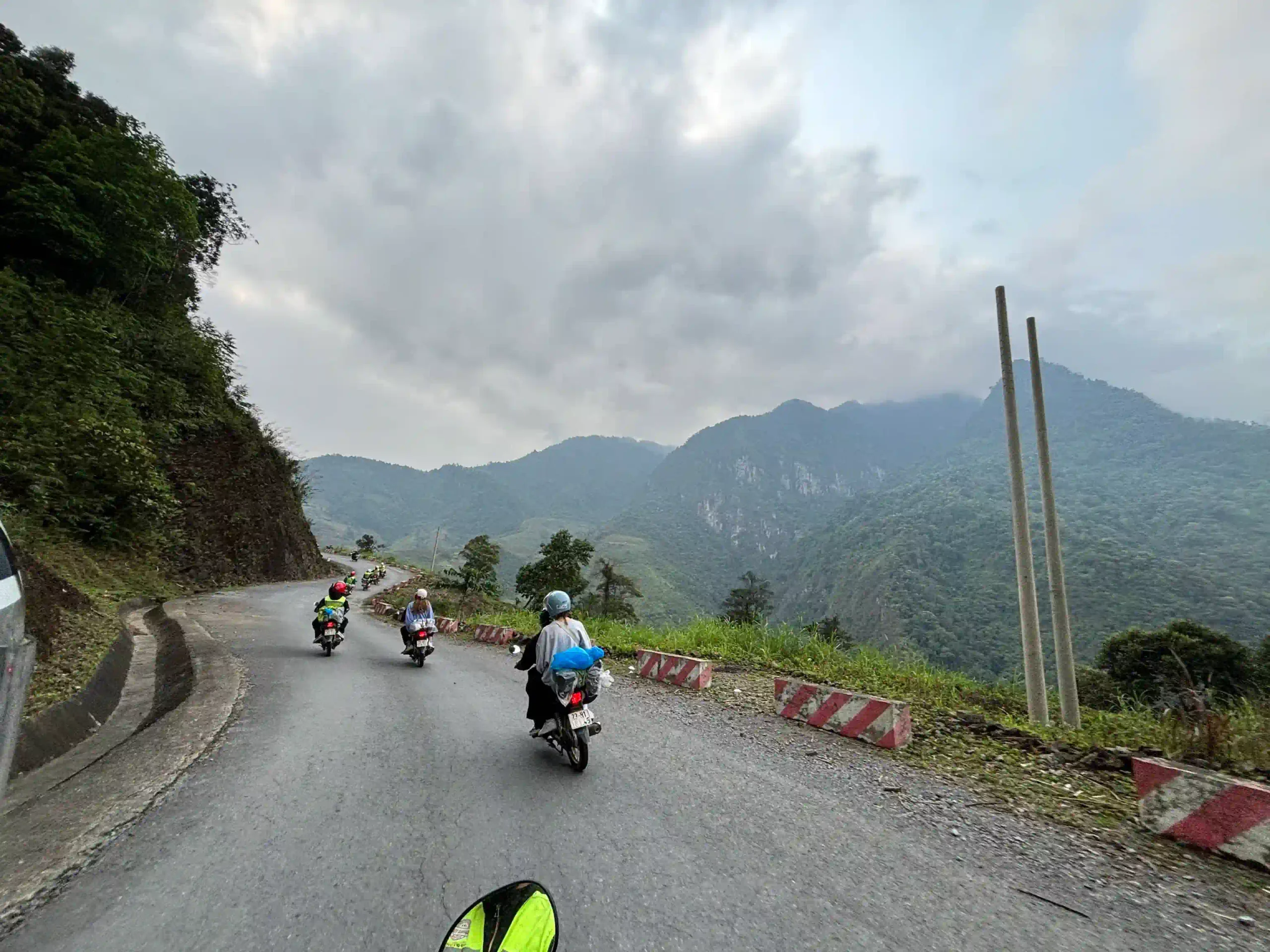
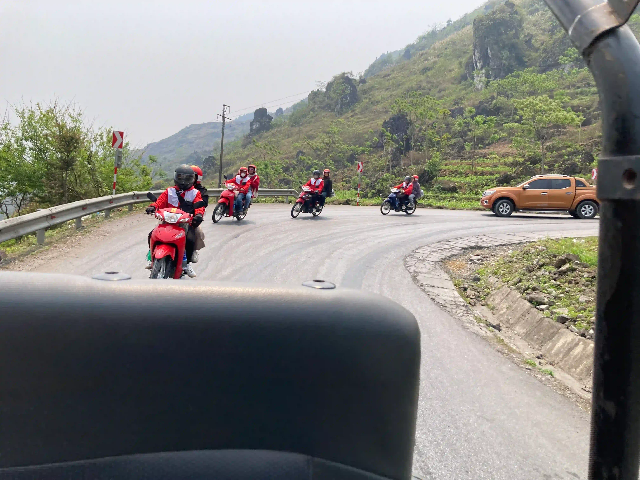
The road itself is sealed and wide enough for two vehicles most of the way. What makes it risky is everything else on it: tour convoys of twenty bikes, coaches, trucks coming down to Meo Vac, gravel collecting on the blind corners, and riders watching the view when they should be watching the road.
I stop in the lay-bys to look and keep my eyes on the road in between, and I still slow right down on the bends above the Nho Que.
For a new rider, Ma Pi Leng is the stretch I’d most want someone else riding, which is the whole case for an easy rider, in my motorcycle tour review. Off the bike, the real risk is the Skywalk ledge when it’s crowded and the Sky Path when it’s wet. In fog the road slows to walking pace and the view disappears, and there’s no point pushing through for it.
Best Time for Ma Pi Leng: Weather, Fog and Time of Day
September to November is the best of it, clear and dry with the rice turning gold in the valleys. From November to February fog can sit on the pass for hours, especially early, and some winter mornings you’ll see nothing at all until it burns off. May to September brings afternoon rain and haze, and midday on the Skywalk in summer is hot and exposed.
Time of day matters more than month, and my best mornings on the pass have all been before eight. Before nine the pass is quiet and the light comes up the canyon from the east. From about nine until noon it’s the busiest it gets, and on weekends in late October and November, buckwheat season, the domestic traffic backs up as well. Month by month is in the best time to visit guide.
Ma Pi Leng Pass FAQ
How high is Ma Pi Leng Pass? About 1,200 metres at the top, with the Nho Que 700 to 800 metres below in Tu San Canyon.
How long is Ma Pi Leng Pass? About 20km, from Dong Van to Meo Vac.
Is Ma Pi Leng Pass part of the Ha Giang Loop? Yes, on every route. It’s the section between Dong Van and Meo Vac.
What does Ma Pi Leng mean? The bridge of a horse’s nose.
Can you ride to the Ma Pi Leng Skywalk? No. The path is walkers only now, and it’s a few hundred metres from the road.
How do you get down to the Nho Que River? By a turn-off below the pass towards Meo Vac, for the boat through Tu San Canyon at 150,000 VND a head, which is in the Nho Que river boat ride.
Is Little Ma Pi Leng the same place? No. Little Ma Pi Leng canyon is on the Lô River south of the loop, a different place with its own boats.
Can you visit Ma Pi Leng Pass from Hanoi? Only as part of the loop or a tour of at least three days. It’s a long way north of Ha Giang city, and the options are in the Ha Giang Loop guide.
My Scorecard for Each Stop
| Stop | Cost | What I’d do |
|---|---|---|
| The road itself | Free | Ride it slowly, early, and stop in the lay-bys |
| Young Volunteers Monument | Free | Five minutes with the stele, then start walking |
| Skywalk rock ledge | Free on foot | Before nine, and skip the top if there’s a queue |
| Sky Path to the white cliffs | Free, 100,000 VND for the short cut | The best thing on the pass, with time and good shoes |
| Ma Pi Leng Eye | Free | A short detour on the Sky Path |
| Ma Pi Leng Panorama café | 30,000 to 60,000 VND | Use the free lay-by next to it |
| Nho Que boat | 150,000 VND | Yes, if the day allows |
It’s meant to be ticked off against your own morning. On most trips I do four of those, the road, the monument, the ledge before nine and the free lay-by, and even if it’s only the road and the ledge for you, going early still makes it one of the best mornings you’ll have in Vietnam.












 Tiếng Việt
 한국어
한국어 中文 (中国)
 日本語
日本語 ไทย
ไทย Deutsch
 Español
 Destinations
 Instagram
 Facebook
 X (Twitter)
 Threads
 Tiktok