









 Ha Giang
 Hanoi
Hanoi Ho Chi Minh City
 Ha Long
 Sapa
Sapa Mekong Delta
 Da Nang
 Hue
Hue Hoi An
 Ninh Binh
 Da Lat
 Nha Trang
 Phan Thiet
 Phu Quoc
 Quang Binh
 Quy Nhon
 Vung Tau
 Thai Nguyen




Southern Vietnam is flat. I don’t mean this as a complaint, just a geographical reality that anyone who’s driven more than an hour from Saigon has already noticed. You go through rice fields, rubber plantations, and small market towns, and the horizon stays exactly where it was when you left the city. There are no hills. There are no peaks. The land just goes on.
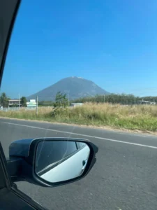
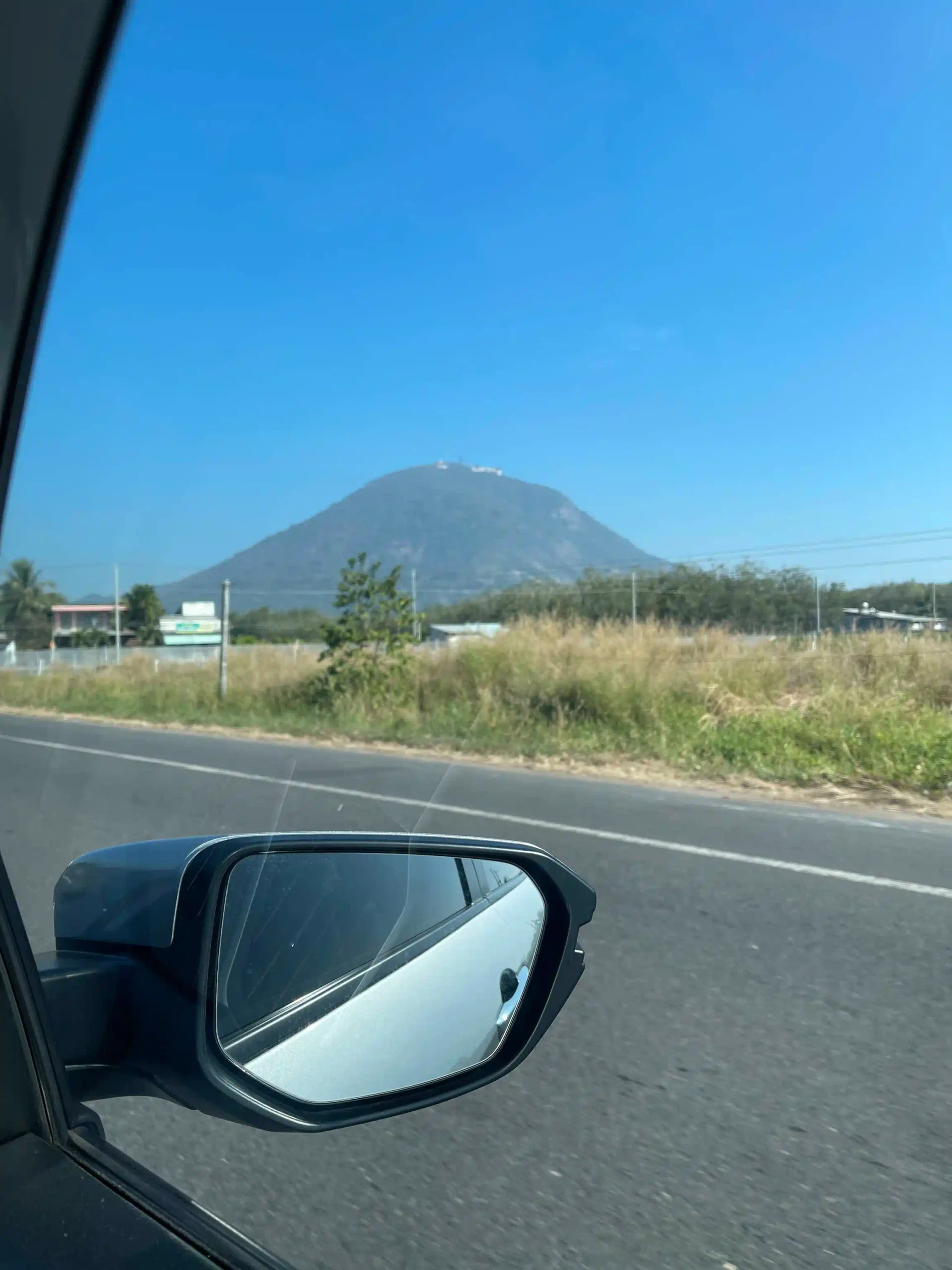
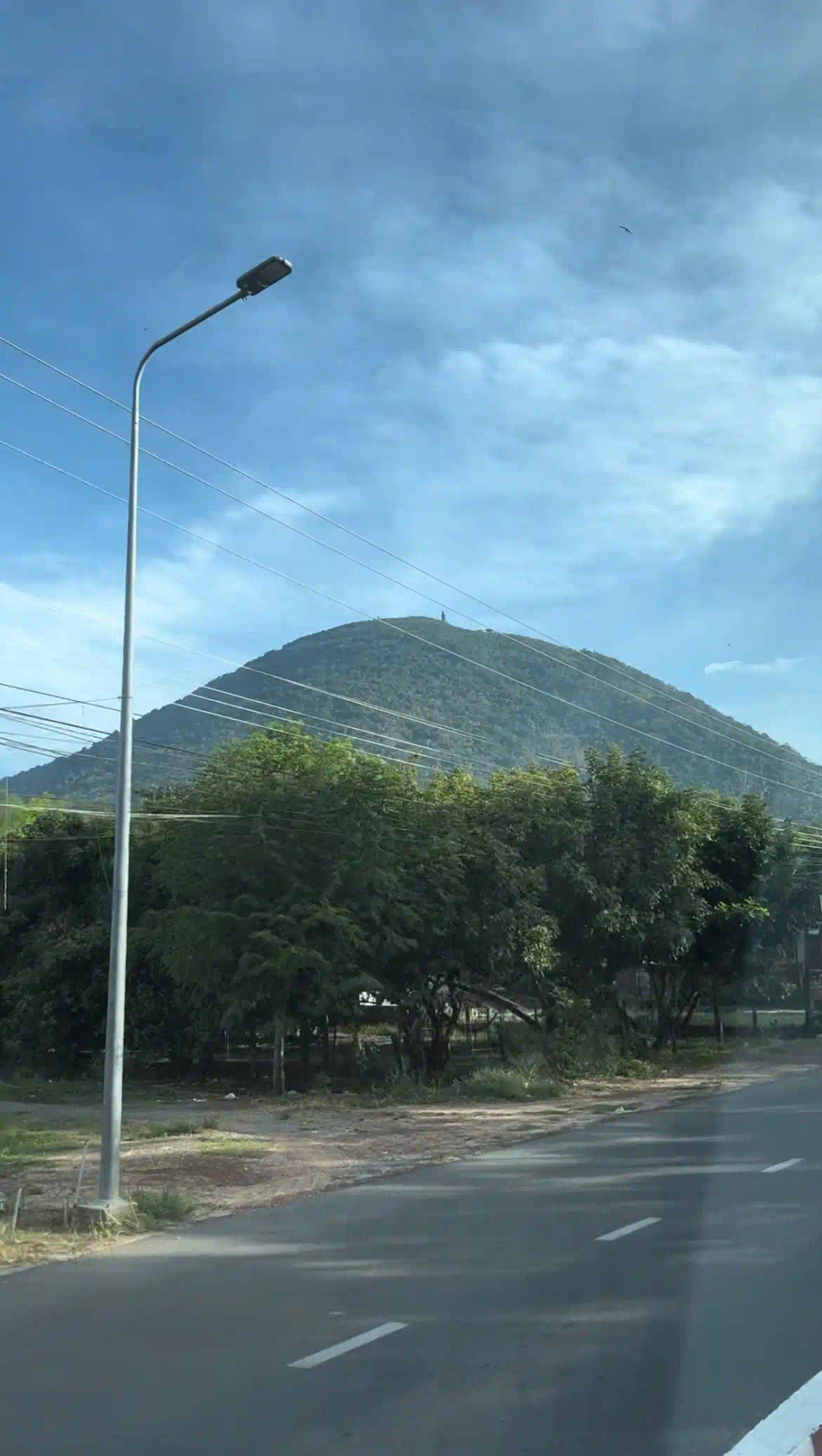
And then, about 100km northwest of the city in Tay Ninh Province, a single mountain rises out of the plain. One mountain, completely alone, 986 meters straight up from the flat land around it. That’s Ba Den, Nui Ba Den, Black Lady Mountain, whatever you want to call it, and it’s the only real hiking option within day-trip distance of Saigon.
I want to tell a few things before you decide to go. One is that there’s now a Sun World theme park at the top, with a cable car, a Lady Buddha statue, a flower garden, and a Buddhist temple complex that’s part genuine spiritual site and part commercial tourism zone. Another is that the actual hiking trail to the summit is harder than most descriptions make it sound. And another is that you’ll spend as much time driving as hiking if you do this as a day trip.
All of that said, the drive through Tay Ninh province, the mountain appearing out of nowhere, and the views from the summit on a clear day are genuinely worth it. I keep going back.
This sits under my Ho Chi Minh City attractions guide as part of the day trip and activities.
- Quick Answer: Ba Den Mountain in Tay Ninh, 100km from Saigon, is the only mountain close enough to HCMC for a hiking day trip. The hike is rated Hard on AllTrails: 5.5km out-and-back with 907m elevation gain, 4-5 hours total. A cable car also goes to the summit in 8 minutes if you don’t want to hike. Budget a full 12-hour day from Saigon. The easiest way to do this is by hired car or a day tour. Public buses exist but the connection to the mountain from Tay Ninh bus station is inconvenient.
- The basics:
- Mountain: Nui Ba Den (Black Lady Mountain), Tay Ninh Province
- Height: 986m (tallest mountain in Southern Vietnam)
- Distance from HCMC: ~100km northwest via Highway 22
- Drive time: 2.5-3 hours each way
- Trail: Electricity Pole Trail (easiest of 5 trails), hard difficulty, 4-5 hours round trip
- Cable car: 8 minutes to summit, 150,000-400,000 VND round trip
- Entrance fee: 16,000 VND per adult
- Getting there:
- Self-drive or hired car: Highway 22 → Trang Bang → Tay Ninh City, then 15km to mountain
- Day tour from HCMC: 650,000-950,000 VND, includes transport + cable car + guide
- Public bus: Mien Tay Bus Station → Tay Ninh bus station (~4 hours), then taxi to mountain. Possible but slow and complicated.
- Best time to go:
- Dry season: December to April, clearer skies, trails not slippery
- Avoid: June to November (rainy season, trails become dangerous)
- Avoid: Tet and Ba Den Festival (15th day of first lunar month): huge crowds
- What to bring:
- Minimum 2 liters of water per person for the hike
- Hiking shoes (rocks, bouldering, steep terrain)
- Sun protection, snacks
- Cash (card rarely accepted)
Why Ba Den Is the Only Option
About hiking near Ho Chi Minh City question? the answer is always the same: Ba Den or nothing. Vung Tau has two hills, Nui Lon and Nui Nho, and they’re worth a short walk if you’re already there for the beach, but neither is a mountain and neither is what most people mean when they say they want to hike. Cat Tien National Park is good jungle and wildlife at about 150km away, but it’s not mountain hiking either.
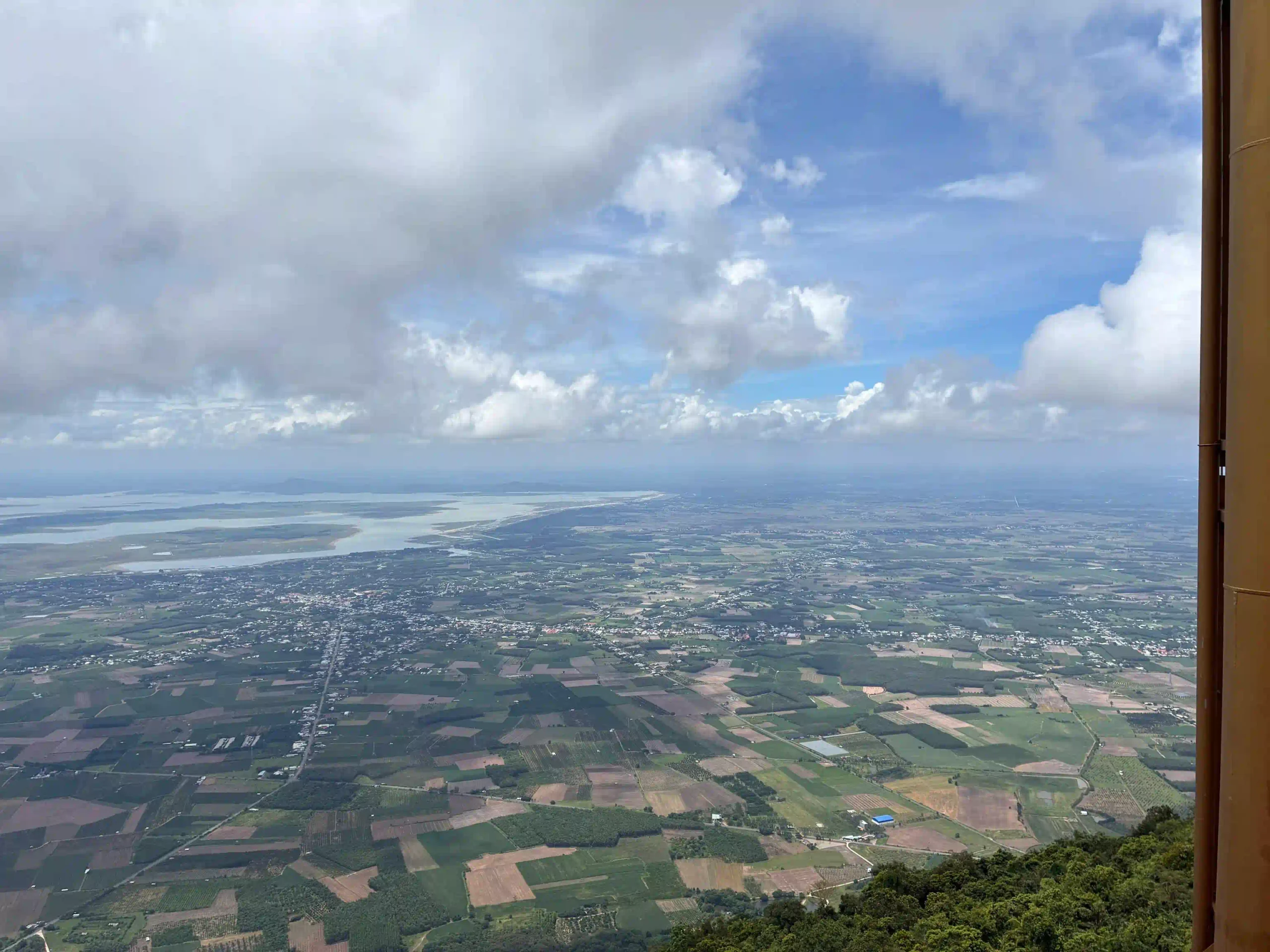
Ba Den is an extinct volcano sitting completely alone on the Tay Ninh plain at 986 meters. The Vietnamese call it the “rooftop of the South.” Because the surrounding land is almost completely flat, the mountain feels taller than it is. You can see it from 30km away, a single dark mass on the horizon. Getting to the top gives you views of Dau Tieng Lake, the Cambodian border area, and the flat green plains of Tay Ninh stretching in every direction.
The mountain has history attached to it too. During the resistance wars against the French and then the Americans, Ba Den served as a hiding place for Vietnamese forces. Its caves and forests provided cover that the surrounding flat land couldn’t offer. The US military bombed and defoliated it heavily. What you walk through today has largely regrown.
The Drive
Highway 22 from Saigon northwest to Tay Ninh is one of the better provincial highways in the south: two lanes, mostly well-maintained, with the traffic thinning out considerably once you clear the outer suburbs.
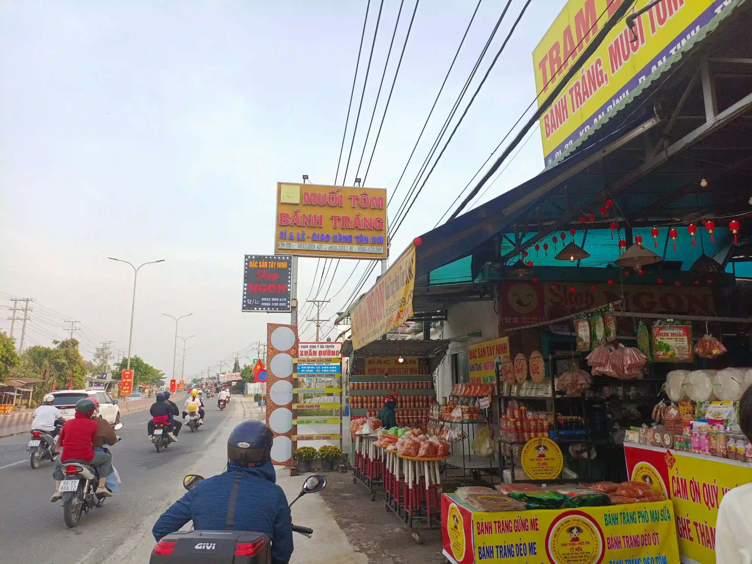
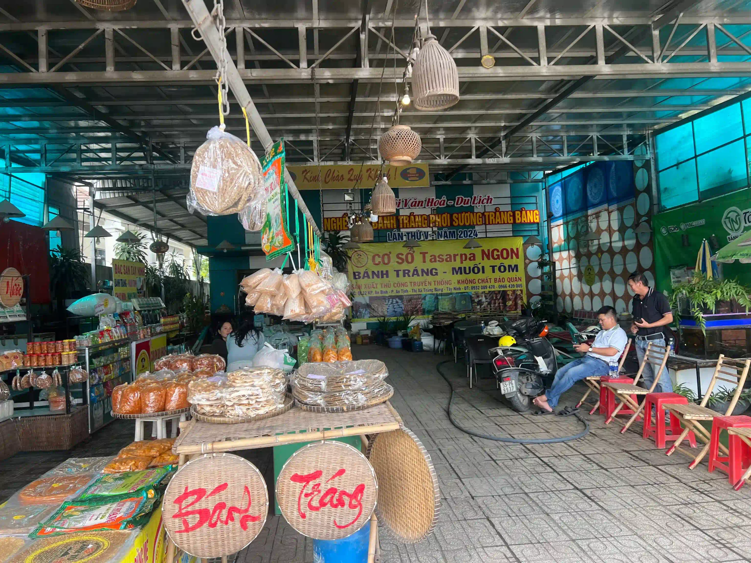
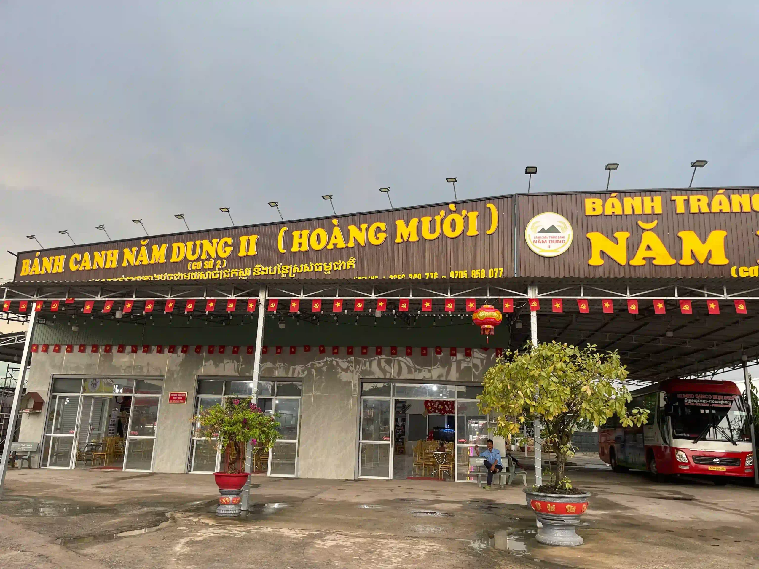
Trang Bang is the main town en route, about 45km from the city, and this is where I always stop for bánh tráng phơi sương, rice paper rolls that are a local specialty, lighter and more delicate than the regular version, sold at stalls along the main road through town. Don’t skip this. The rolls specifically from Trang Bang are genuinely different from what you find in the city.
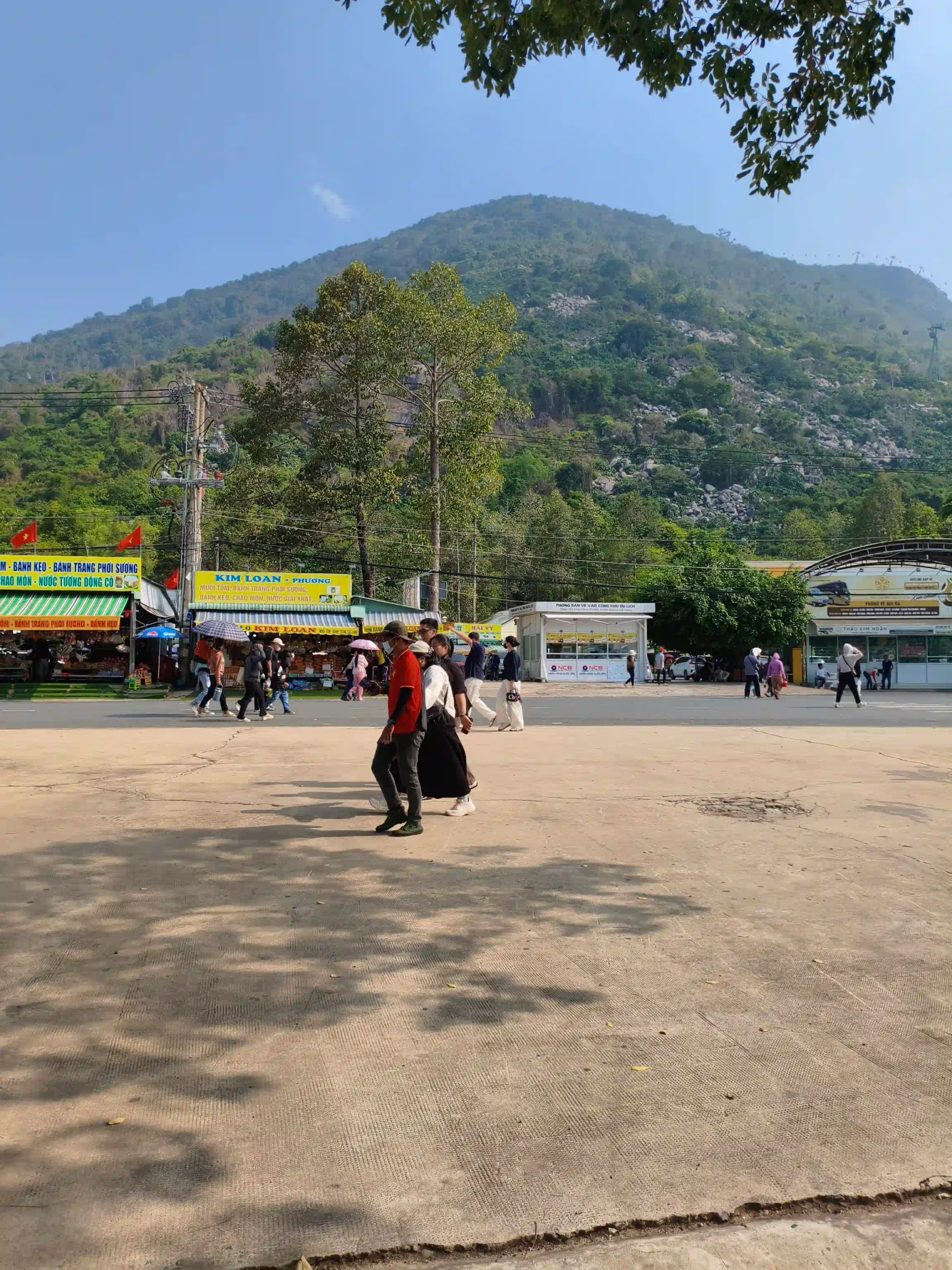
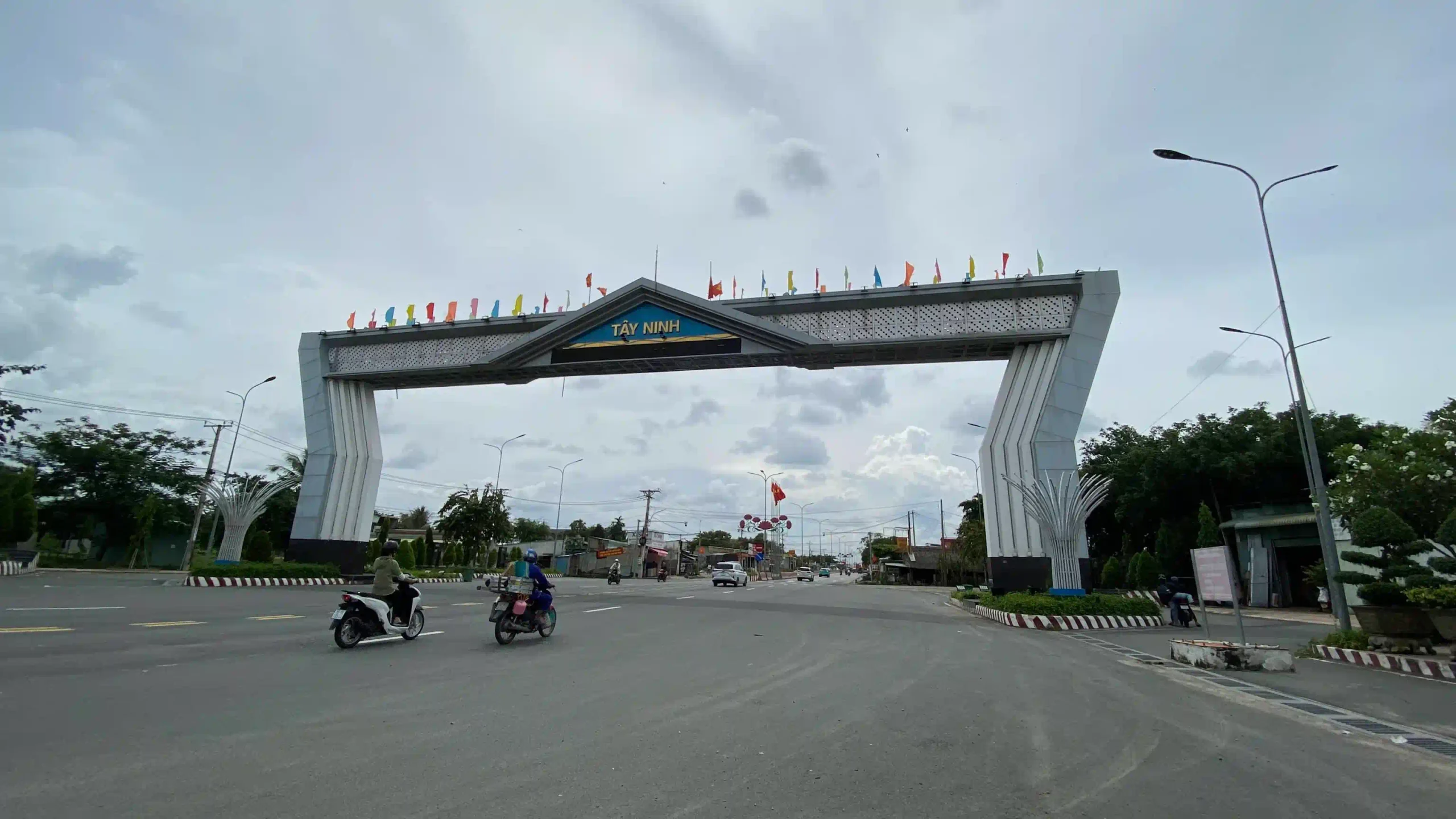
From Trang Bang it’s another hour to Tay Ninh city and then 15km to the mountain entrance at Sun World Ba Den Mountain. The whole drive from central Saigon takes 2.5 to 3 hours depending on traffic and how long you stop in Trang Bang.
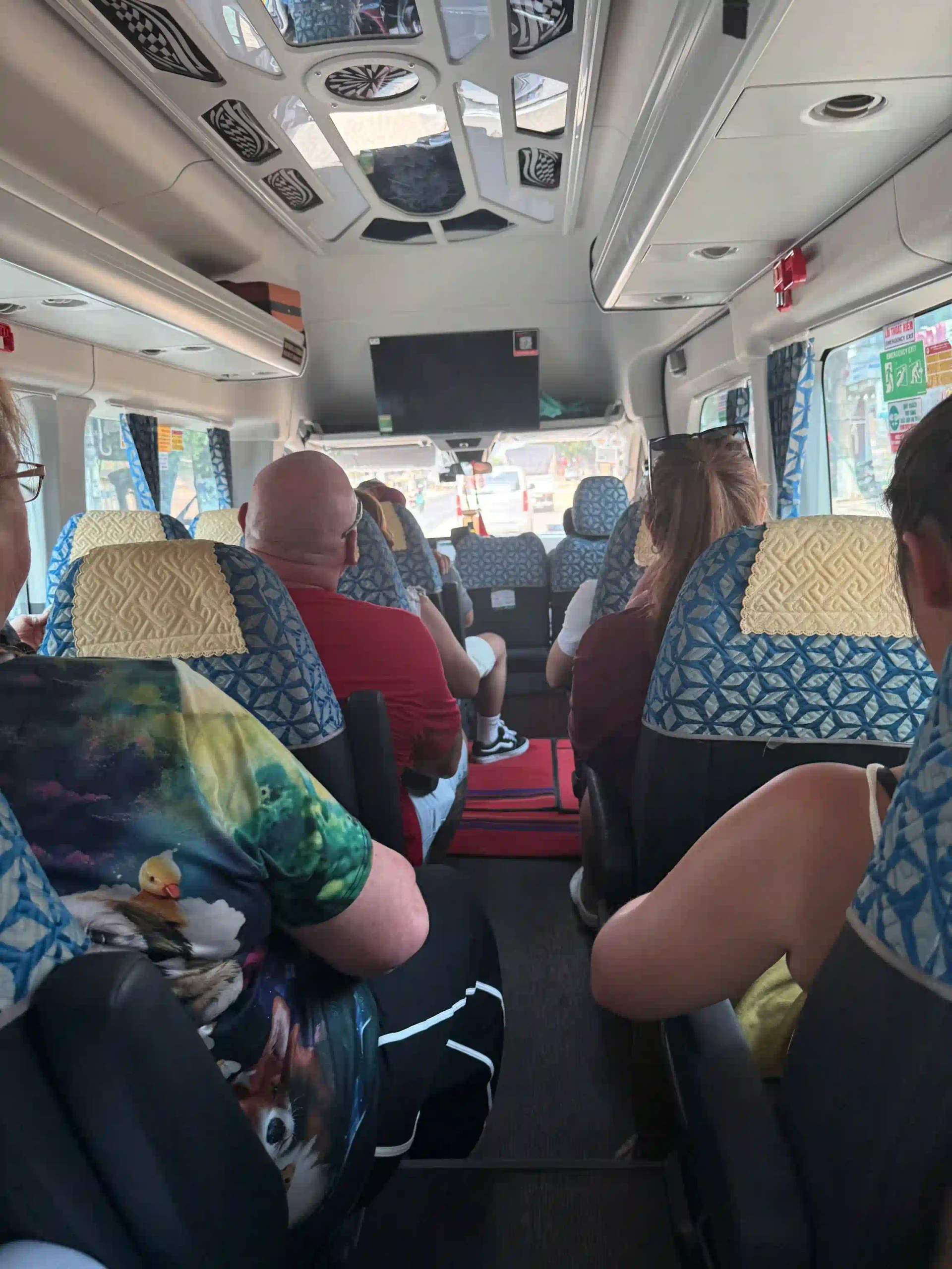
If you’re organizing your own transport, a hired car with driver for the day runs roughly 1,500,000-2,500,000 VND (~ $55 – $95 USD) total, which becomes reasonable quickly if there are 2-4 of you splitting it. A motorbike is possible but I wouldn’t recommend it for a full 200km round trip plus hiking. It’s a lot for one day.
The most straightforward option if you don’t want to think about it:
Most organized tours also combine Ba Den with the Cao Dai Holy See in Tay Ninh city, which adds real value since the temple is genuinely worth seeing and you’re in the province anyway.
Cable Car or Hike
This is the first real decision you make at the mountain, and the honest answer depends on why you’re there.
The cable car
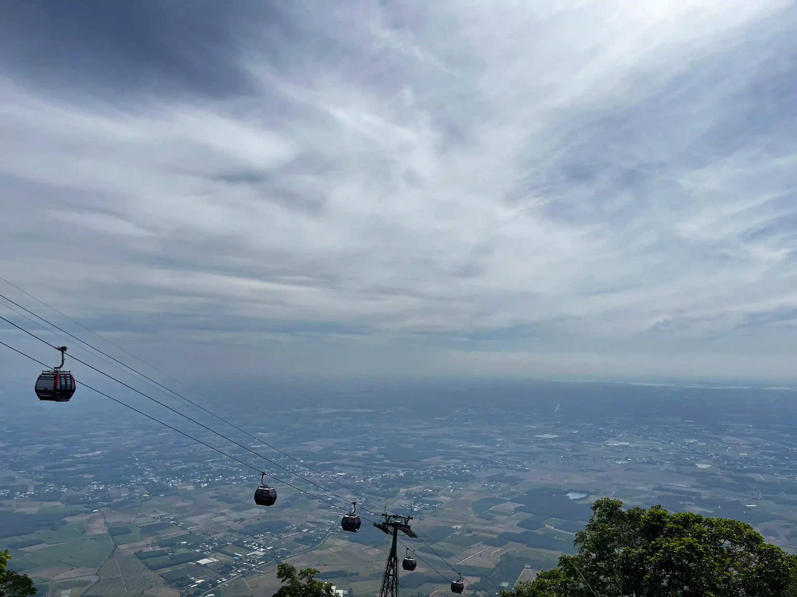
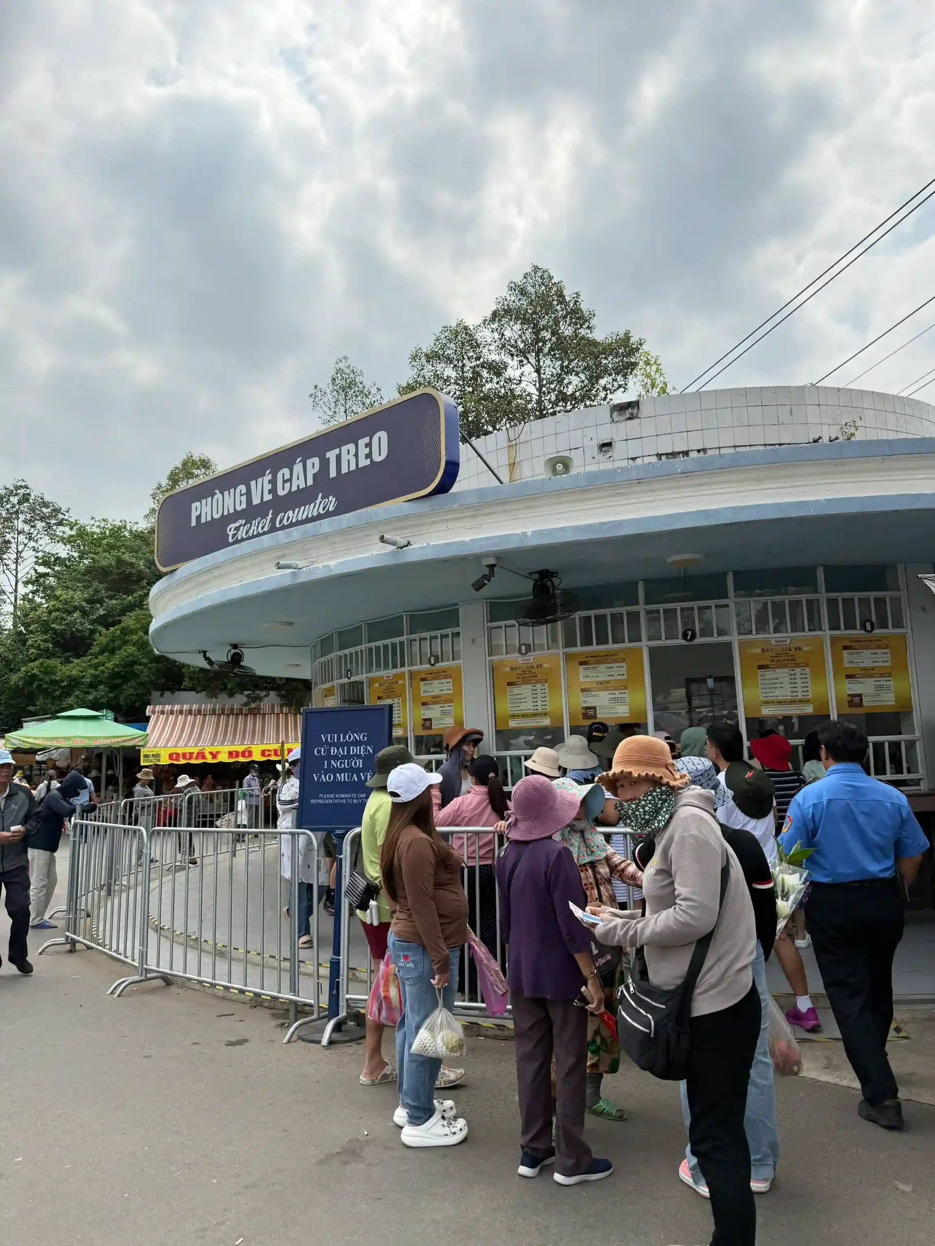
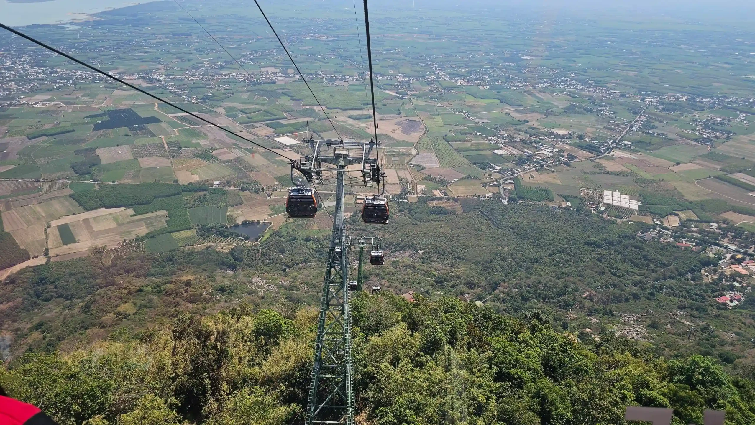
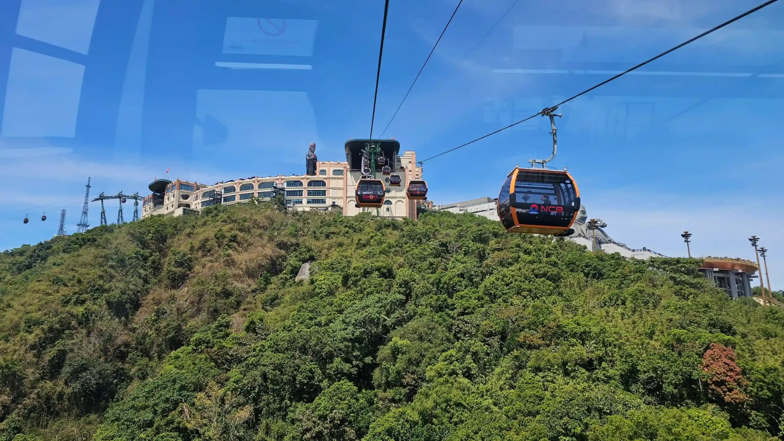
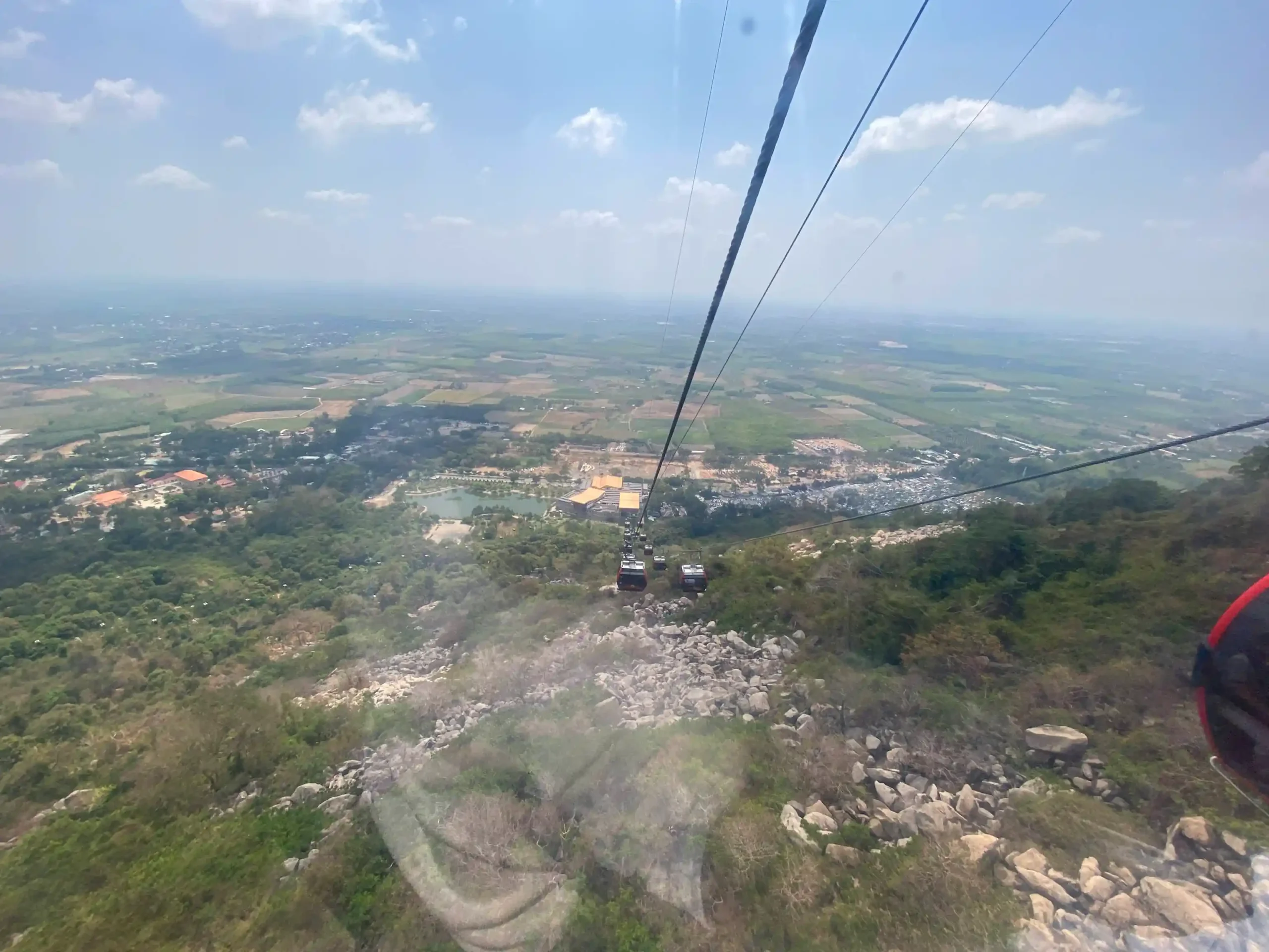
The Van Son cable car holds a Guinness World Record for largest cable car station. It’s 1,847 meters long and climbs 884 meters in 8 minutes. Round trip costs 150,000-400,000 VND depending on season and any promotions running.
From the transparent cabin you see Tay Ninh plain and Dau Tieng Lake opening up below you as you rise. It’s a good ride and worth doing as the descent even if you hike up. Most visitors to Ba Den take the cable car both ways.

The hike
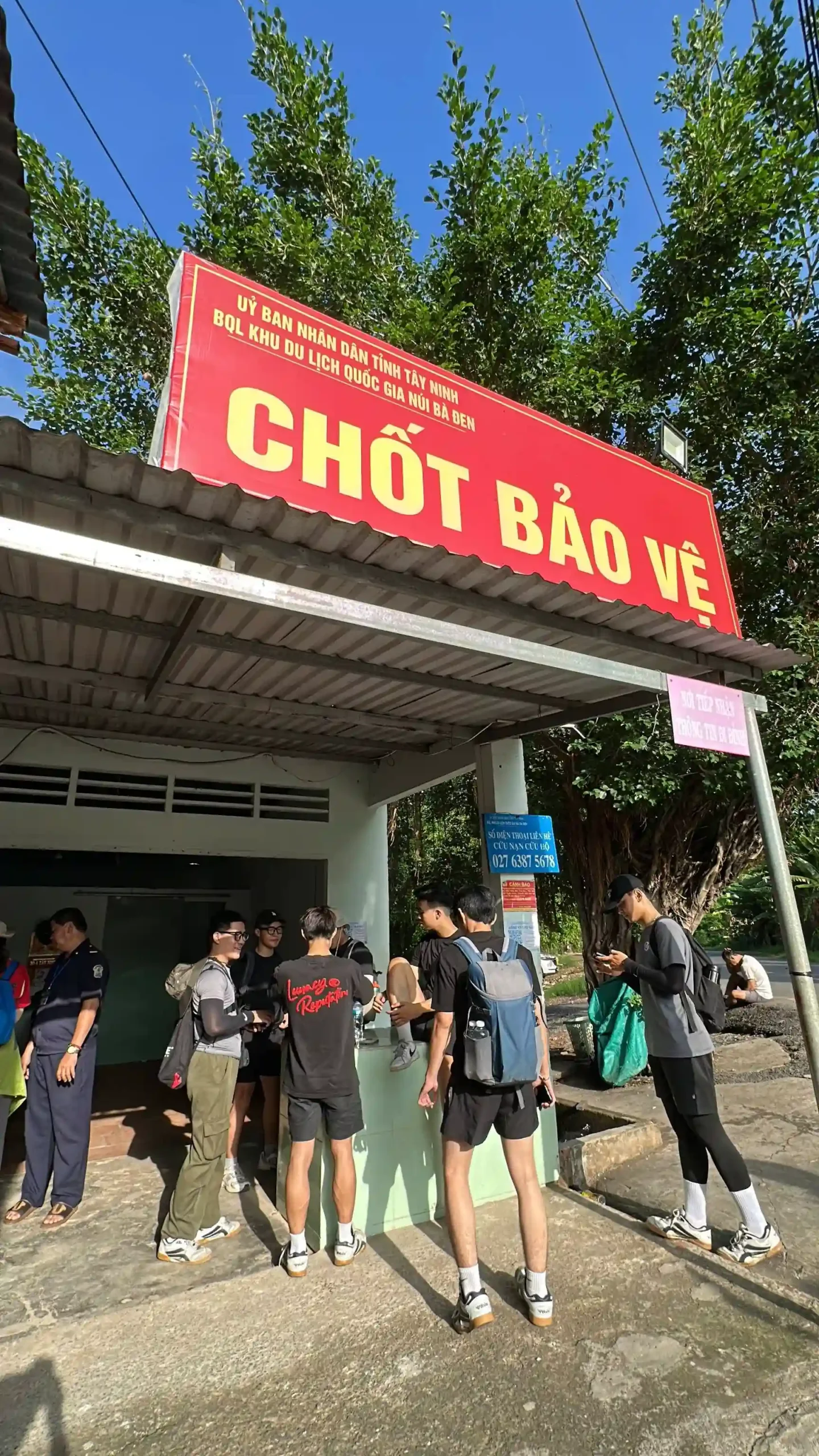
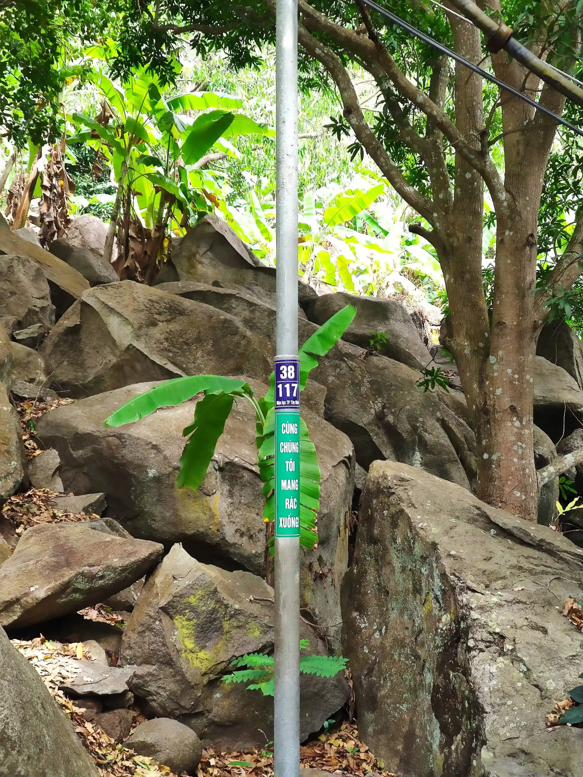
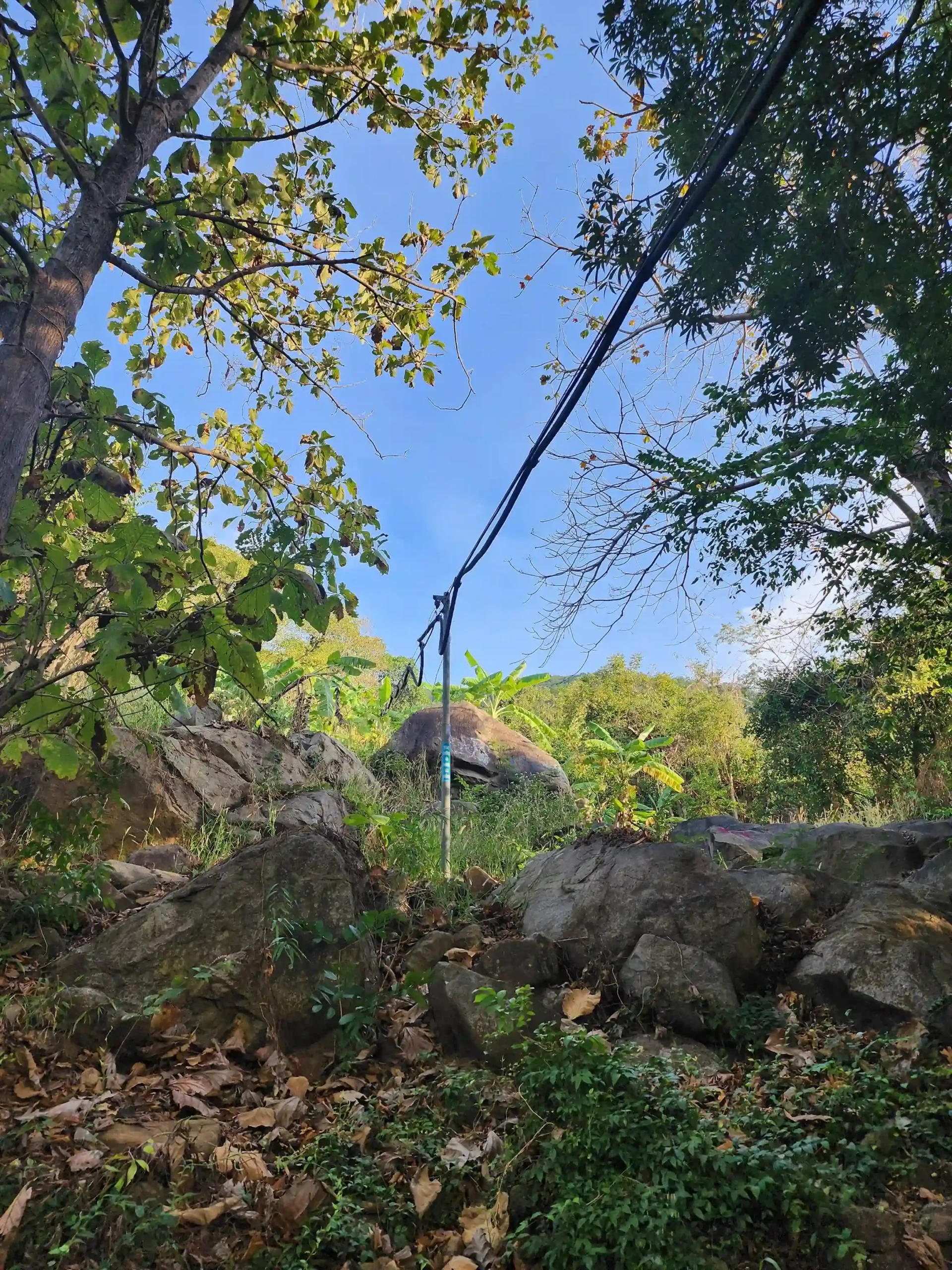
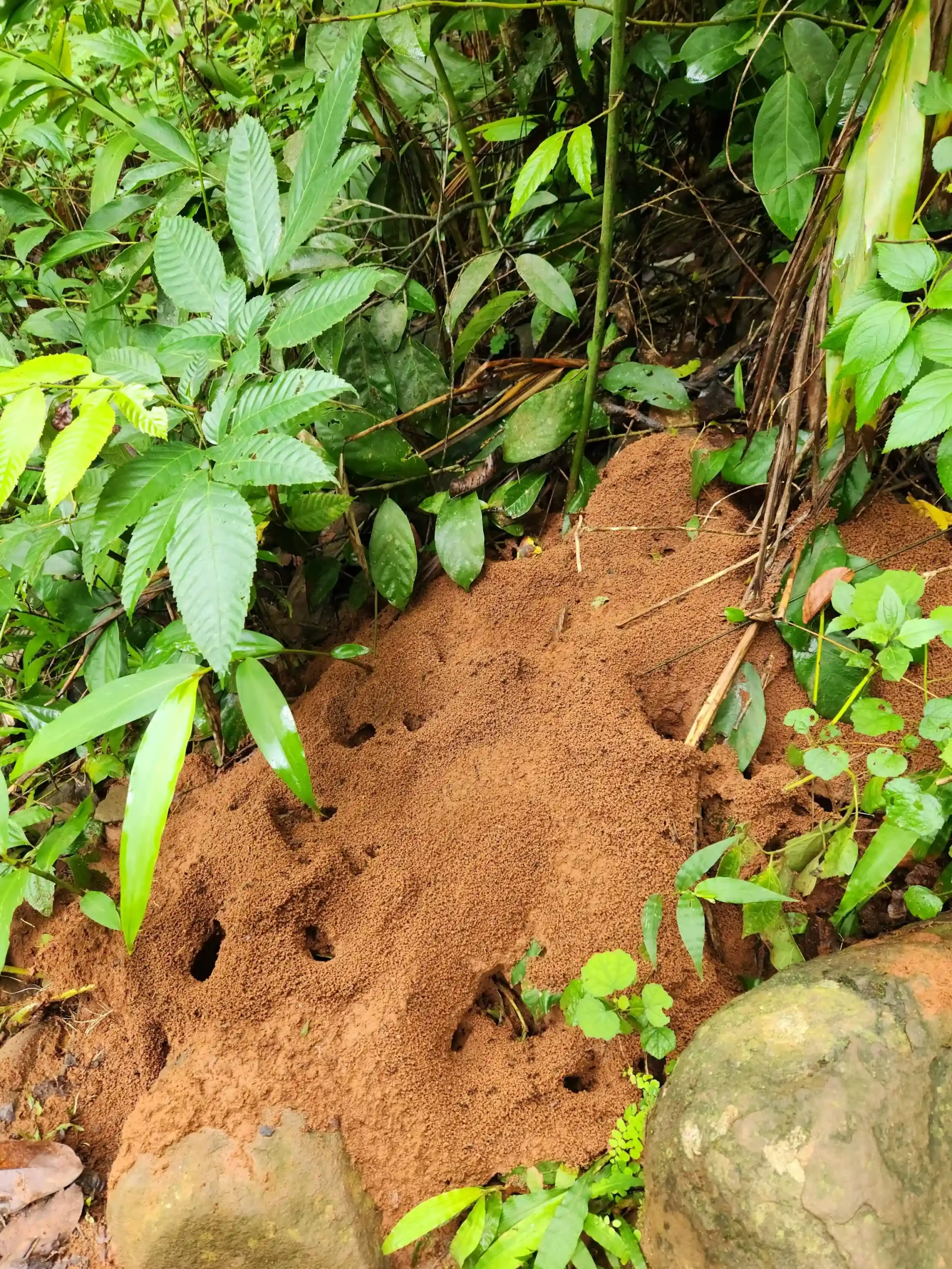
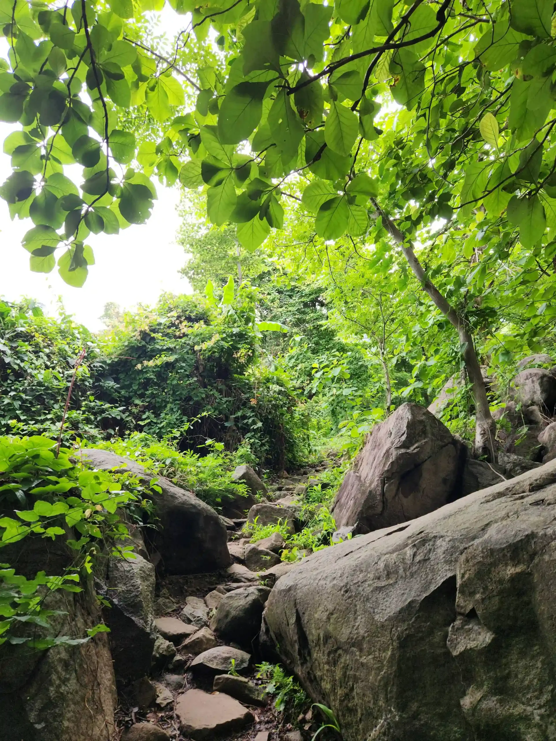
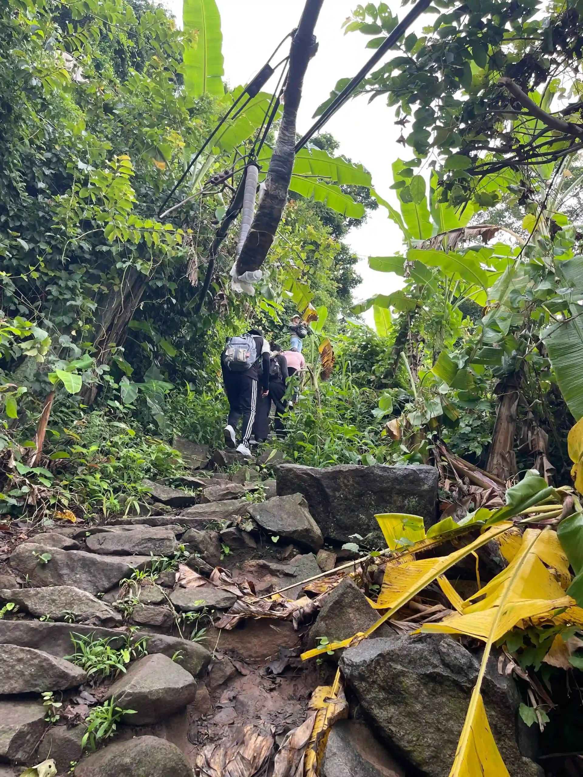
The main trail (the Electricity Pole Trail, sometimes called the Power Pole Route) as Hard. It’s 5.5km out-and-back with 907 meters of elevation gain and takes 4-5 hours to complete the full round trip. The terrain involves steep sections, rock scrambling, and some genuine bouldering near the upper sections. Someone mentioned almost stepping on a Banded Krait (highly venomous snake) on the trail, so watching where you place your feet is a real consideration.
The trail has no physical signage. The navigation is by landmarks: follow the power lines above your head, and you’re on the right path. Spray-painted red arrows on rocks mark turning points, but they’re occasional rather than frequent. It’s not a trail you’ll get lost on, but it’s not a well-marked park trail either.
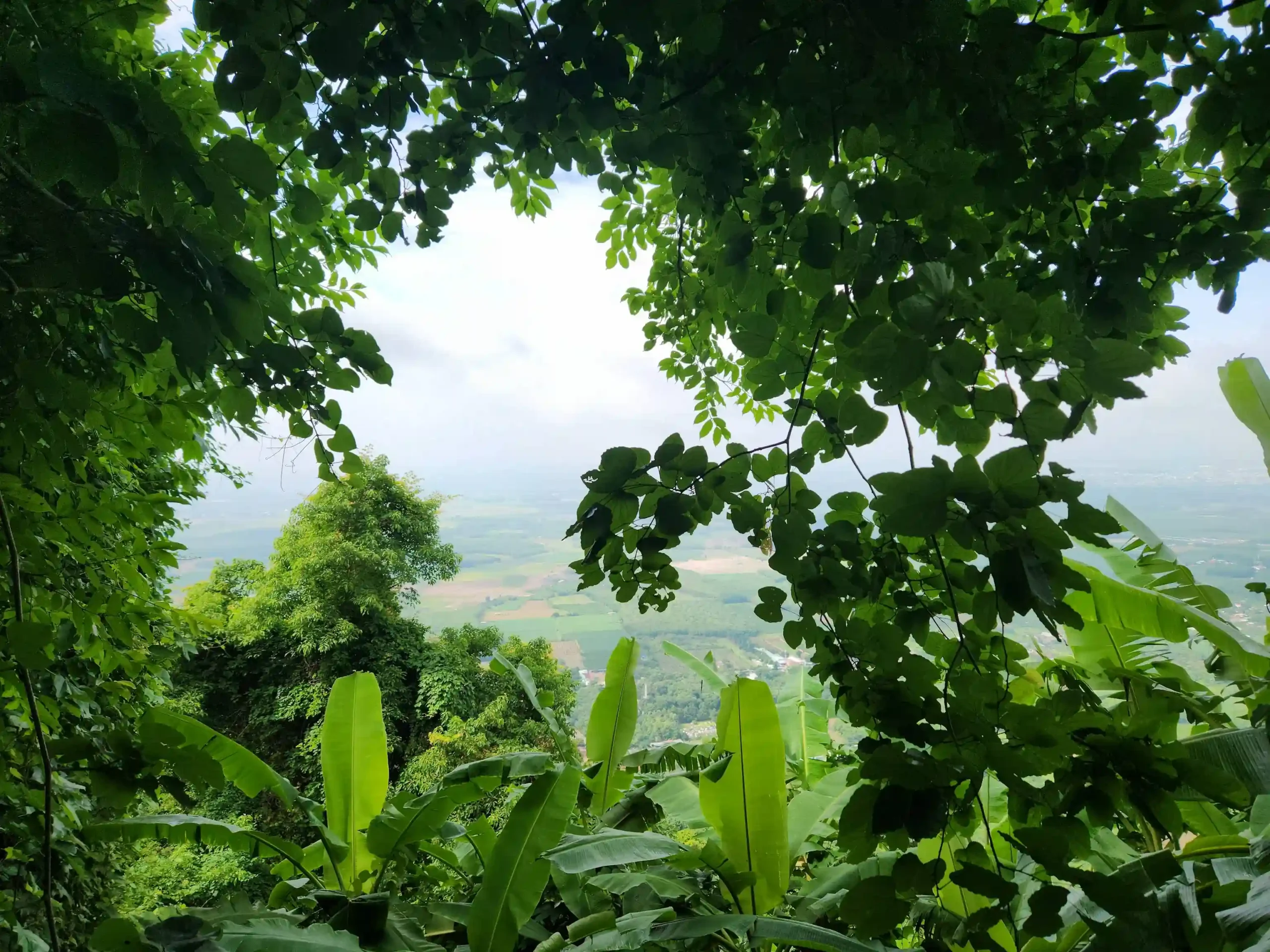
The honest case for hiking rather than taking the cable car: it’s a genuine physical challenge, the forest is beautiful all the way up, and there are banana trees and green canopy for most of the route that make it cooler than hiking in the open. The views open up as you approach the summit. If you want the experience of actually climbing something in Southern Vietnam, this is it.
The honest case against: in 34-degree heat, 4-5 hours of steep rock climbing is genuinely exhausting, and you arrive at the top at the same place as people who took 8 minutes on the cable car. There’s no meaningful difference in the summit experience based on how you got there.
My approach on visit: hike up, cable car down. The descent on this kind of trail involves a lot of knee-jarring downhill on rocks and adds another 2 hours to an already long day. The cable car makes the morning’s effort worthwhile without destroying your legs for the drive home.

A note on the other trails
Ba Den has five hiking routes. The Electricity Pole Trail is the most popular and widely documented. The Temple Route is the second most common, similar difficulty, also 3-4 hours. The other three routes (Ma Thien Lanh, Nui Heo, Nui Phung) are significantly harder, involve massive stacked boulders, and the Phung route requires two days.
Don’t attempt those without local guidance and genuinely good fitness. The Electricity Pole Trail is the one to use for a day trip.
At the Summit
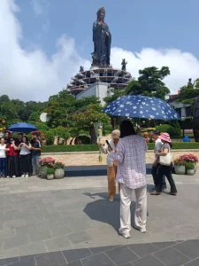
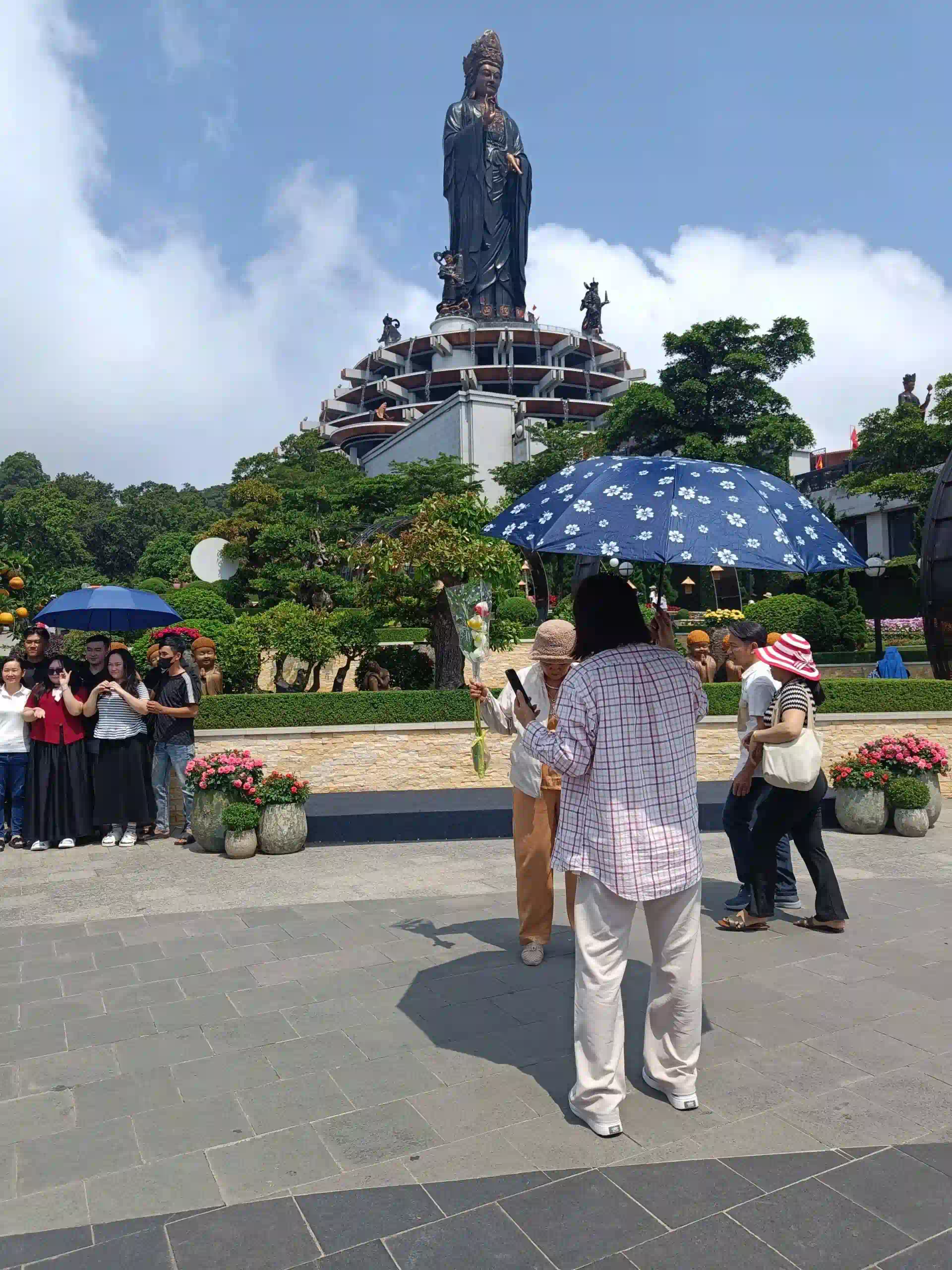
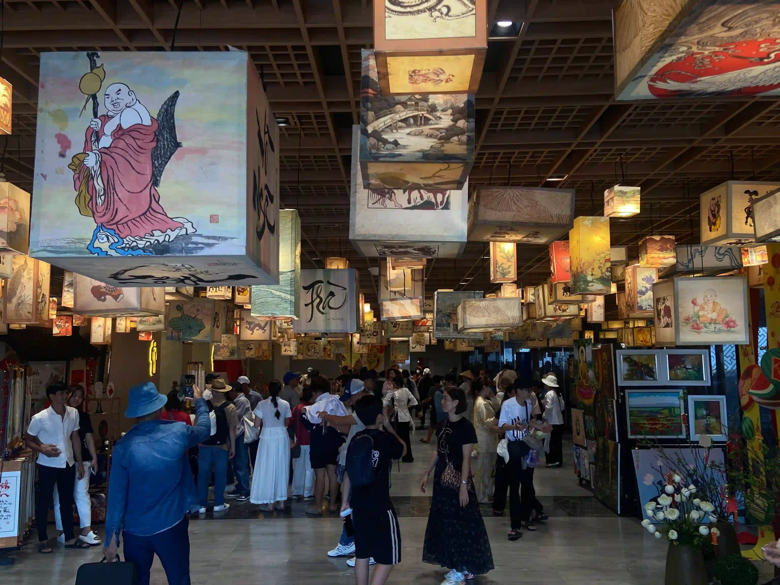
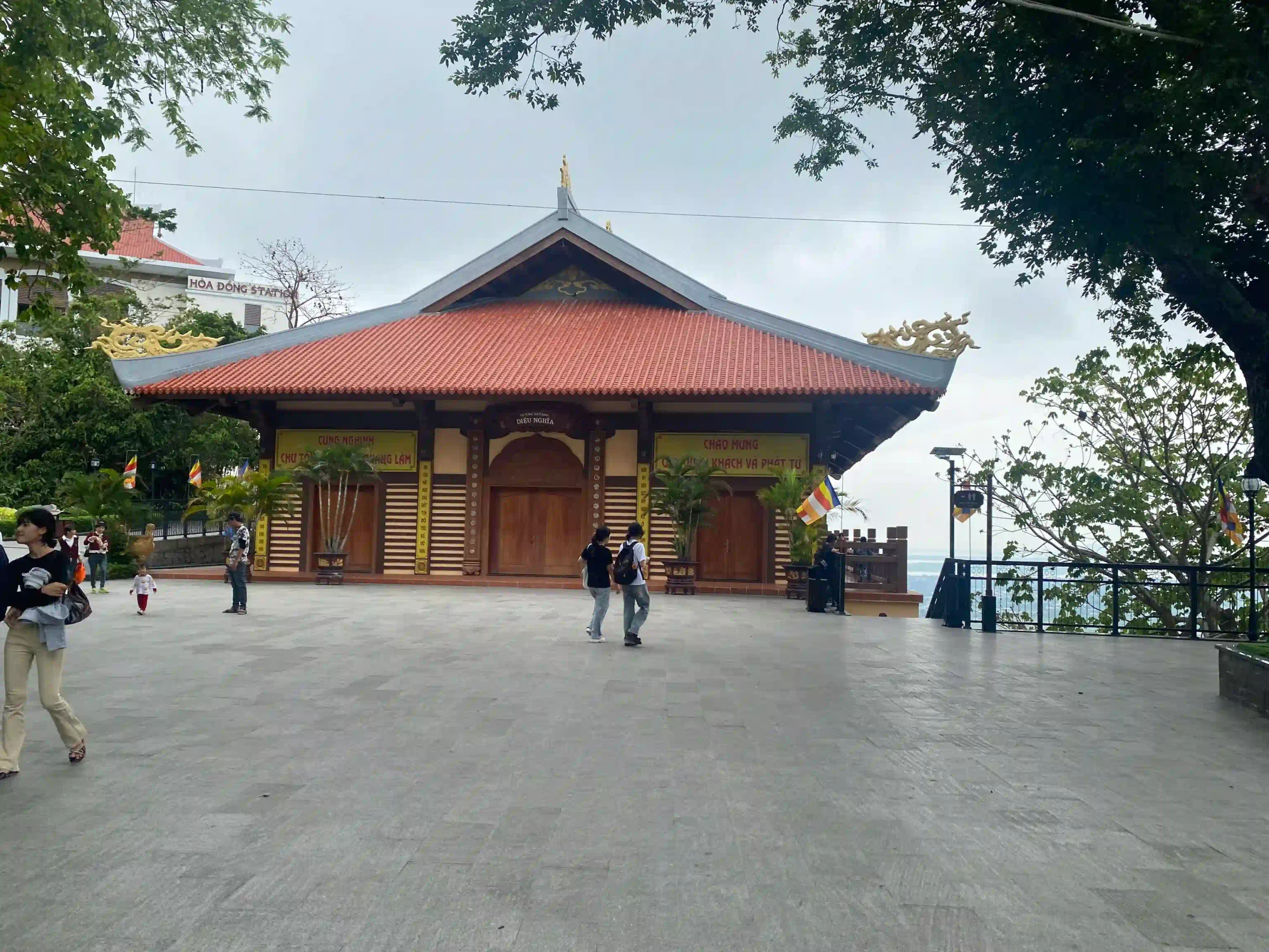
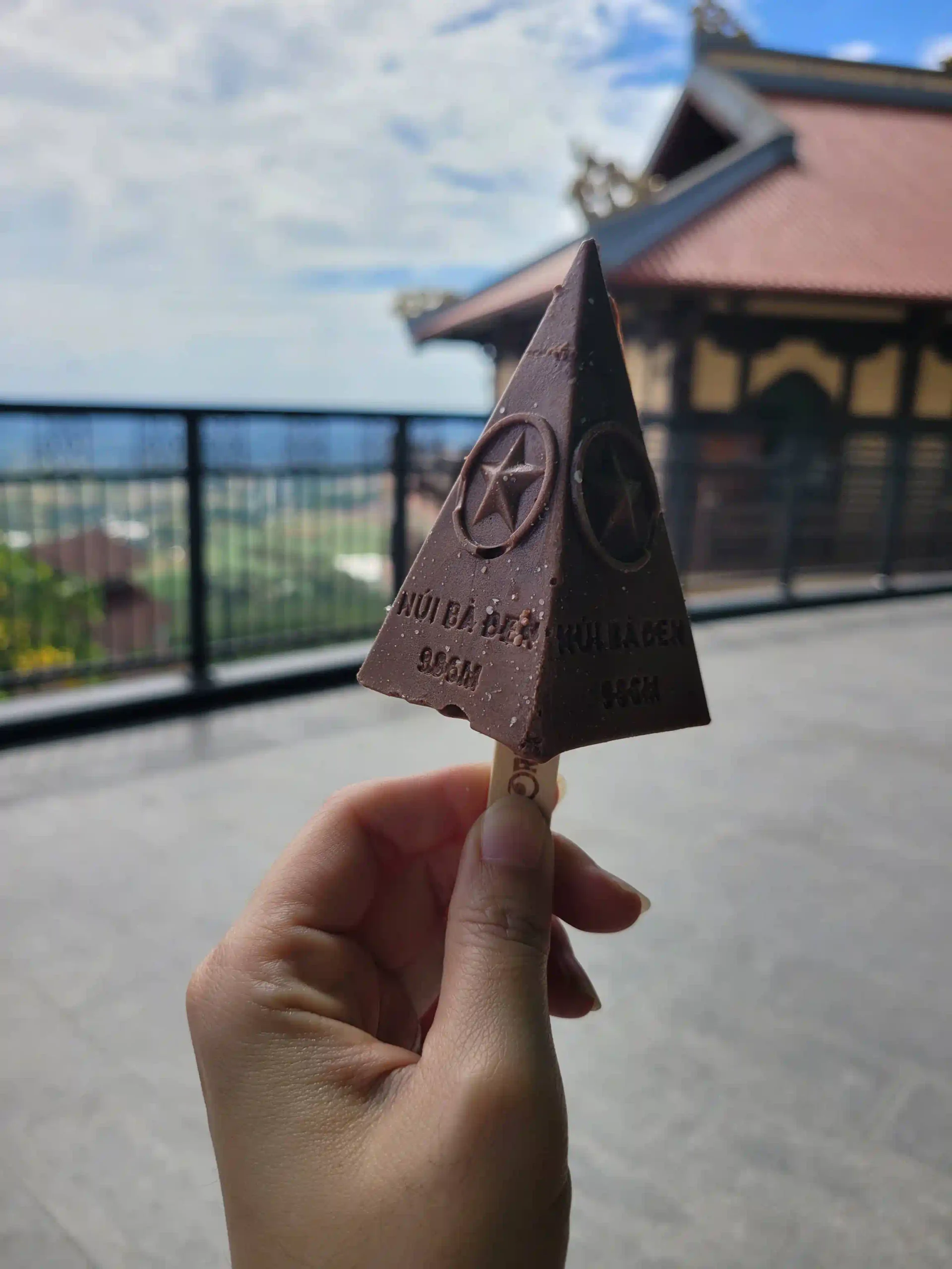
The top of Ba Den is operated by Sun World, the same company that runs the Ba Na Hills resort near Da Nang. This means you arrive at what is partly a theme park: flower gardens, Buddhist temple complex, an observation deck, food stalls, and a 72-meter bronze Lady Buddha statue called Tây Bổ Đà Sơn that dominates the summit skyline.
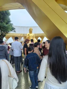
I’ll be direct about this since most hiking-focused guides describe the views and skip the theme park element: if you’re going to Ba Den expecting wild mountain wilderness at the top, you’ll be surprised. The summit is developed and busy. During peak times it’s crowded with pilgrims and tour groups.
What makes it work despite that is the Lady Buddha statue itself, which is genuinely impressive at 72 meters, and the genuine spiritual atmosphere at the older temple areas that predates the Sun World development. The mountain has been a pilgrimage site for the Vietnamese and ethnic Chinese communities in Tay Ninh for generations. On weekdays away from festival periods, the combination of incense, the altitude, and the views over the plains below makes for something that doesn’t feel like a tourist trap even though there are tourist facilities everywhere.
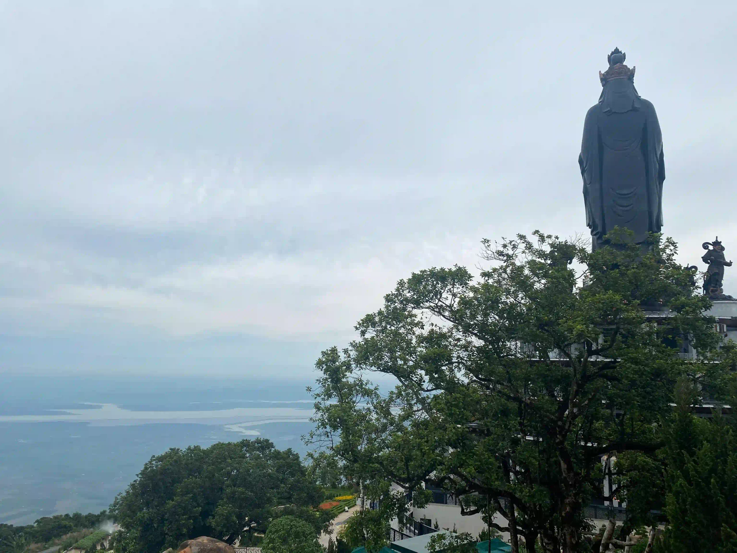
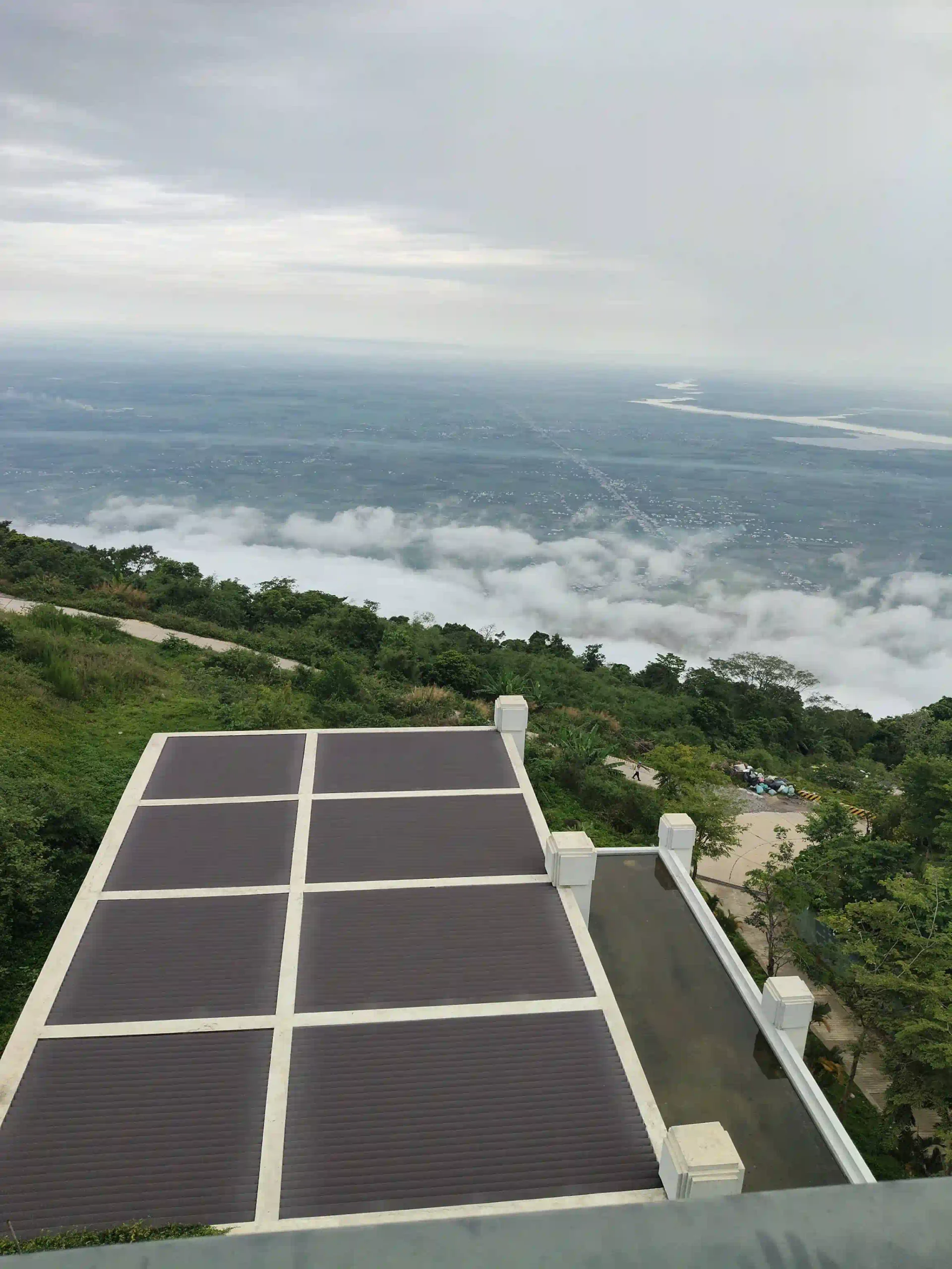
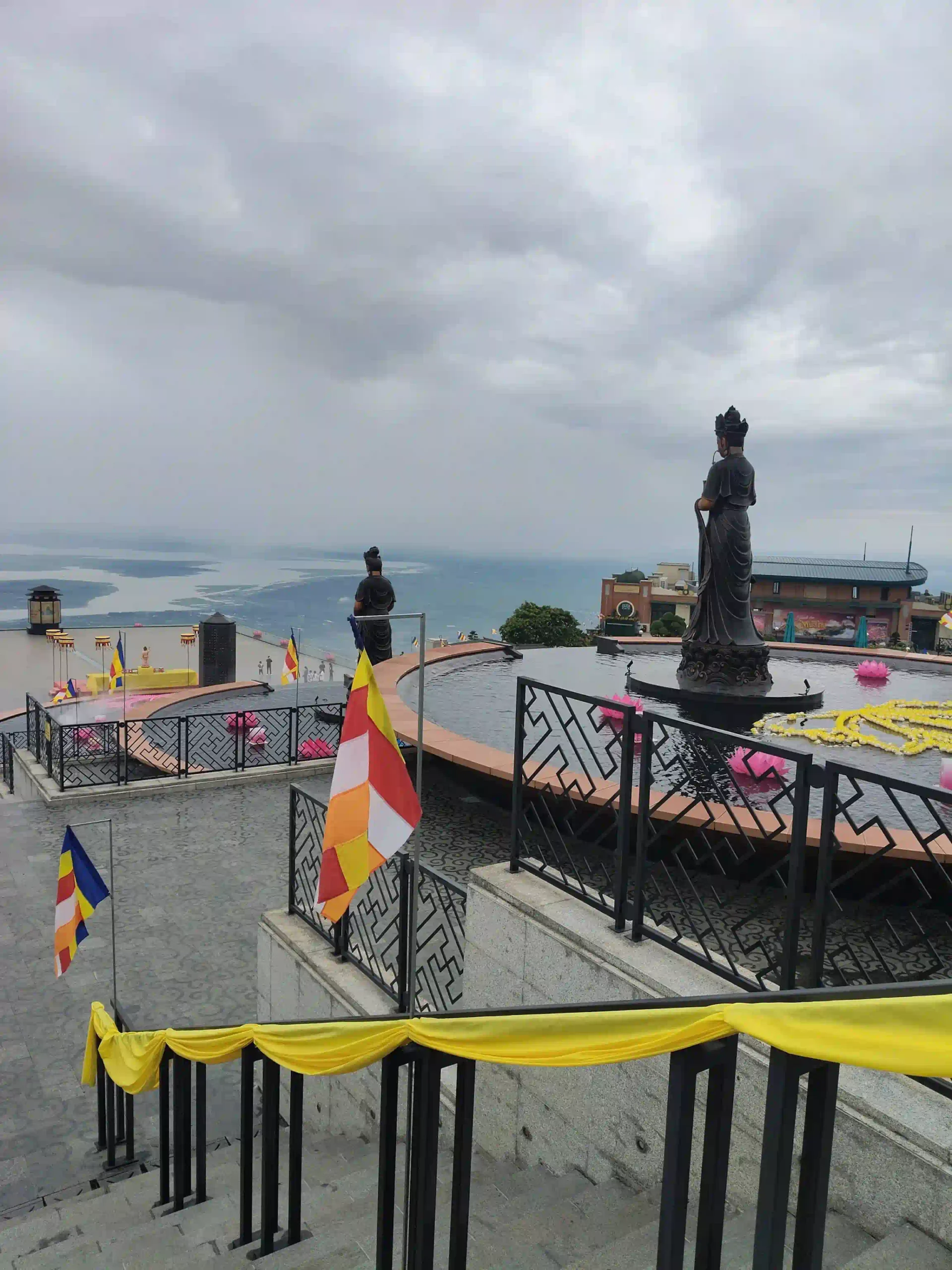
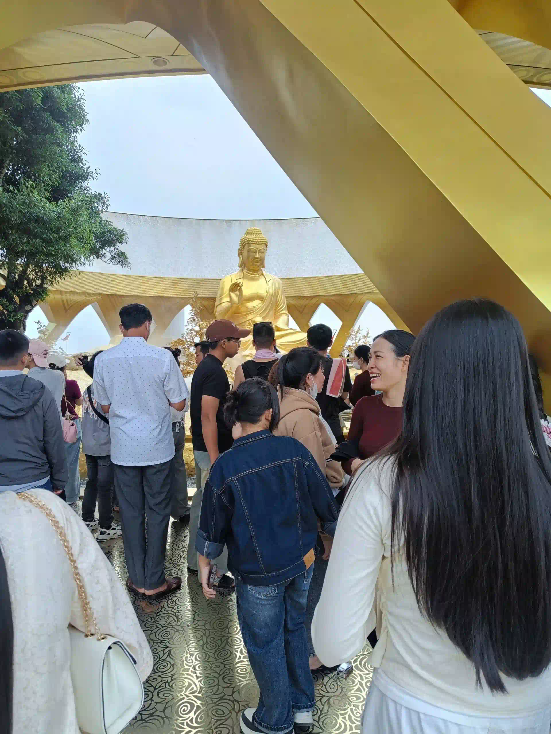
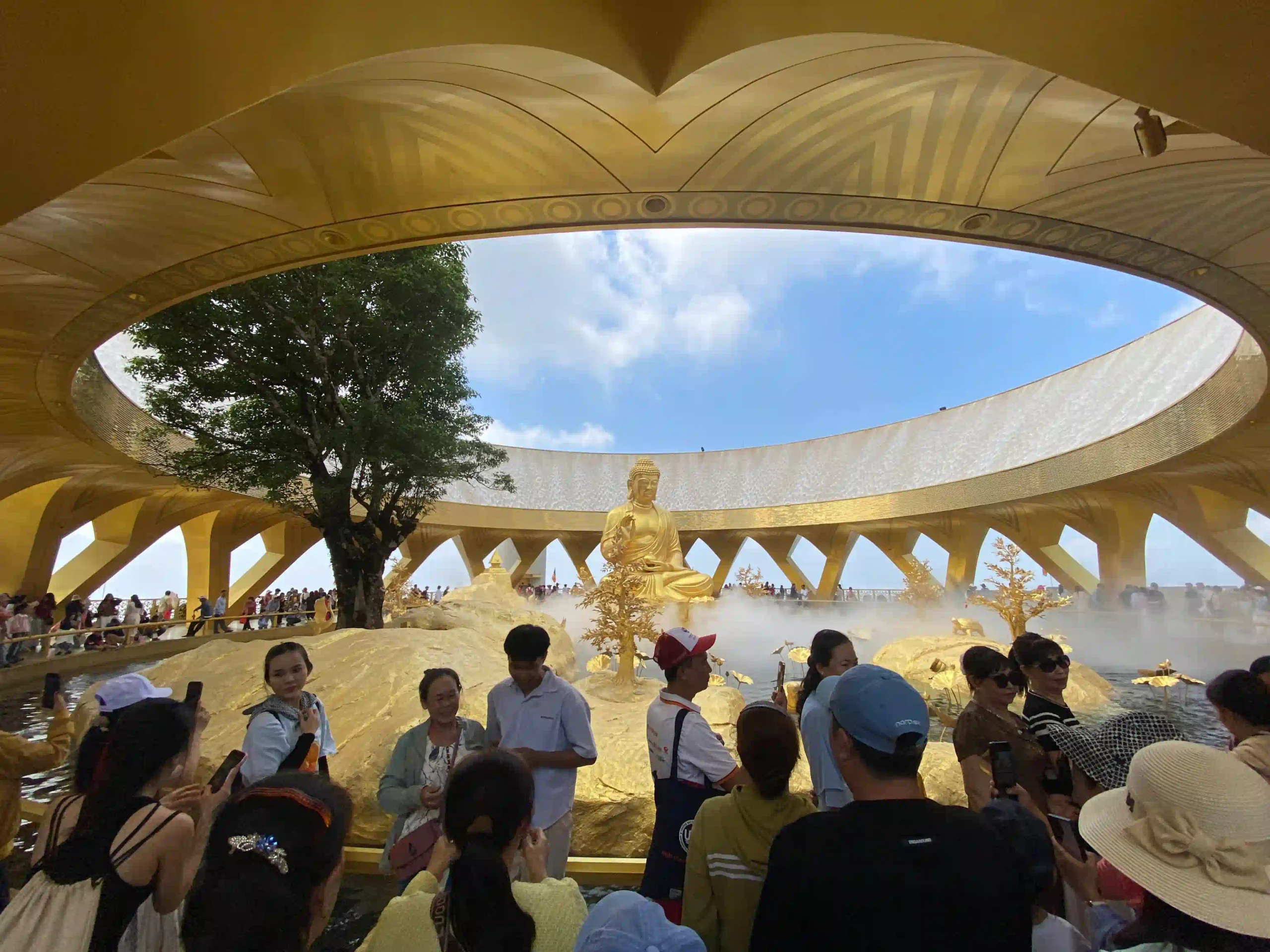
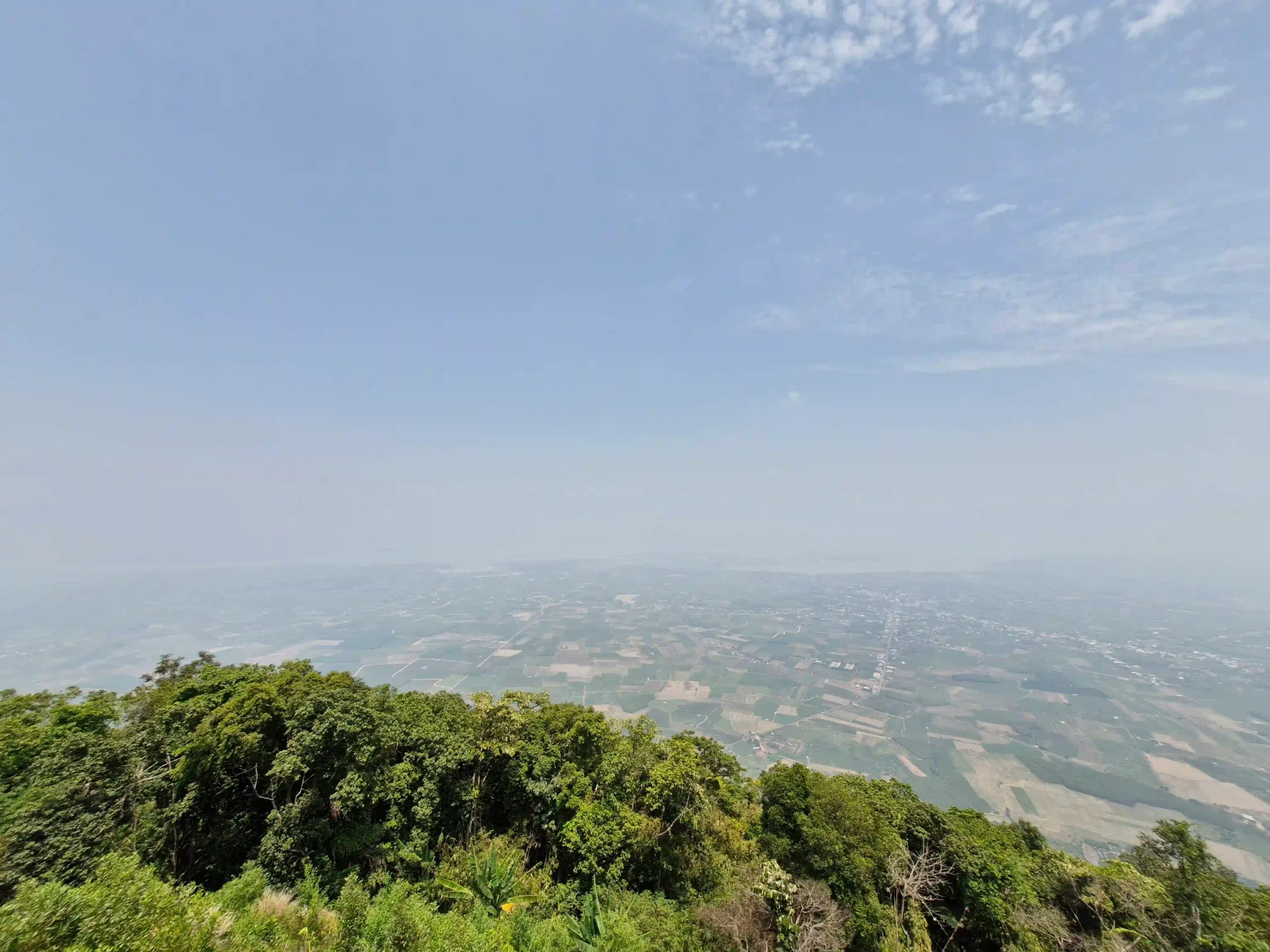
The views, on a clear day, are the real point. The entire Tay Ninh plain spreads out flat in every direction. Dau Tieng Lake shimmers to the northwest. On very clear days you can see toward Cambodia. And directly below you is nothing but the plains that make this isolated mountain so visually strange and impressive. The geological fact that there’s a single near-1000-meter peak with nothing else around it. The views from the summit are genuinely unusual.
On cloudy or misty days, which is common in the early morning and during the wet season, none of this happens. You’re in cloud and you can’t see much. Worth checking the forecast and considering your timing accordingly.
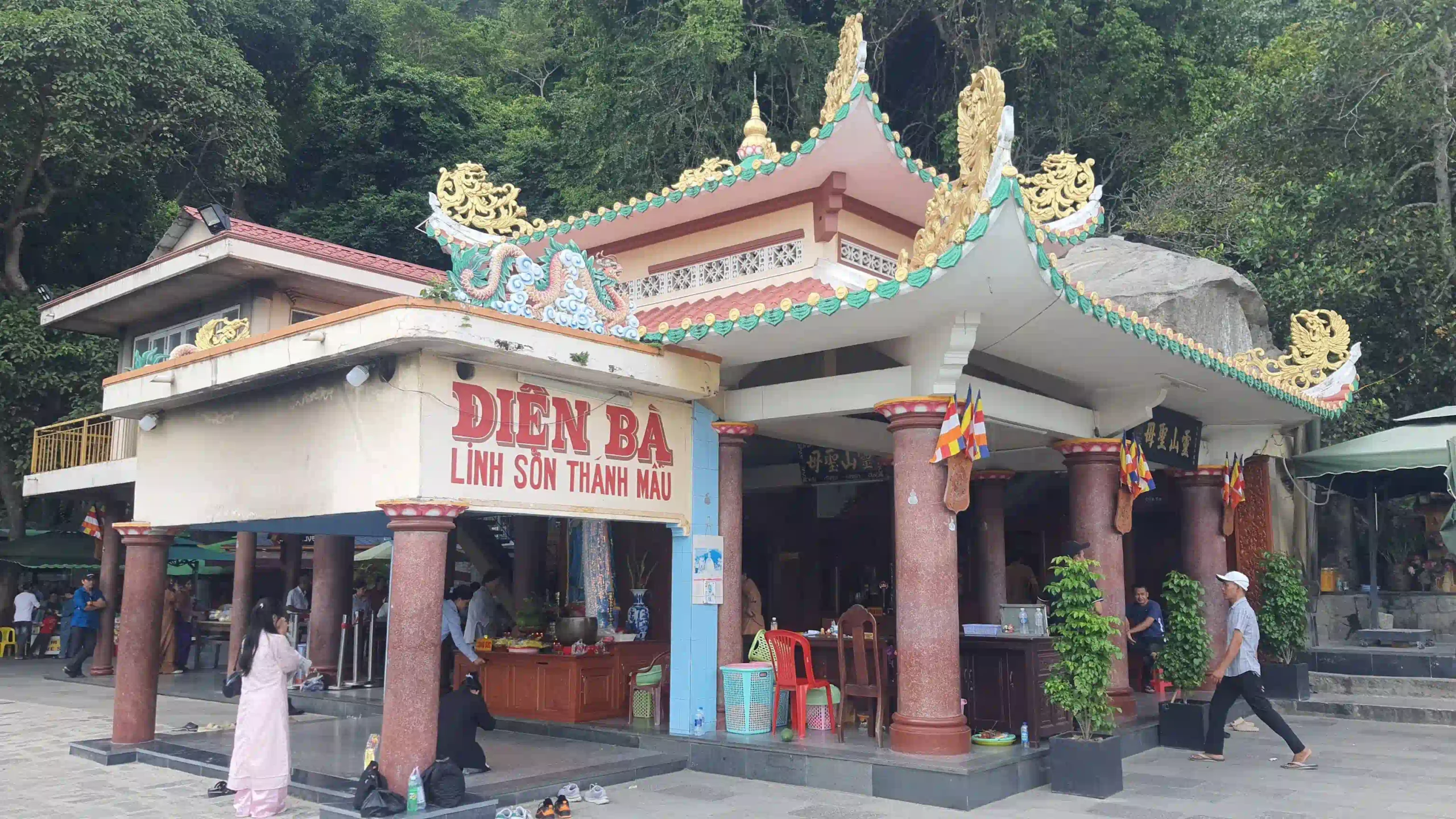
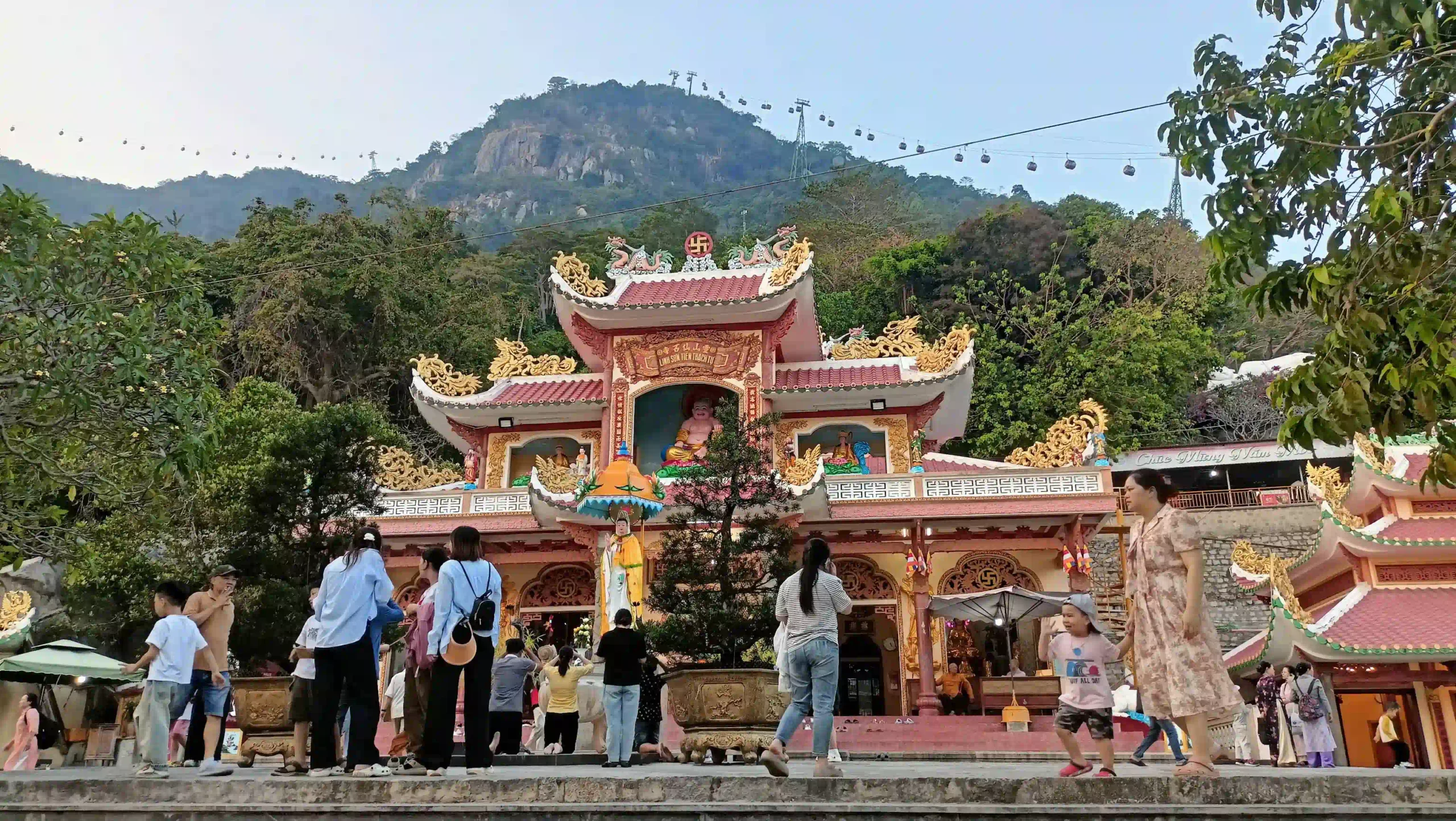
The temple complex at the top is the spiritual core of the whole mountain and worth treating as something separate from the Sun World tourist facilities.
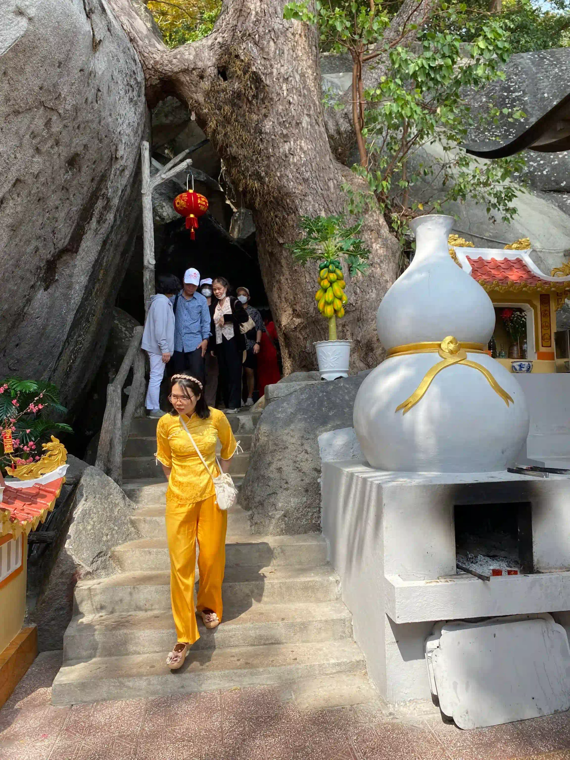
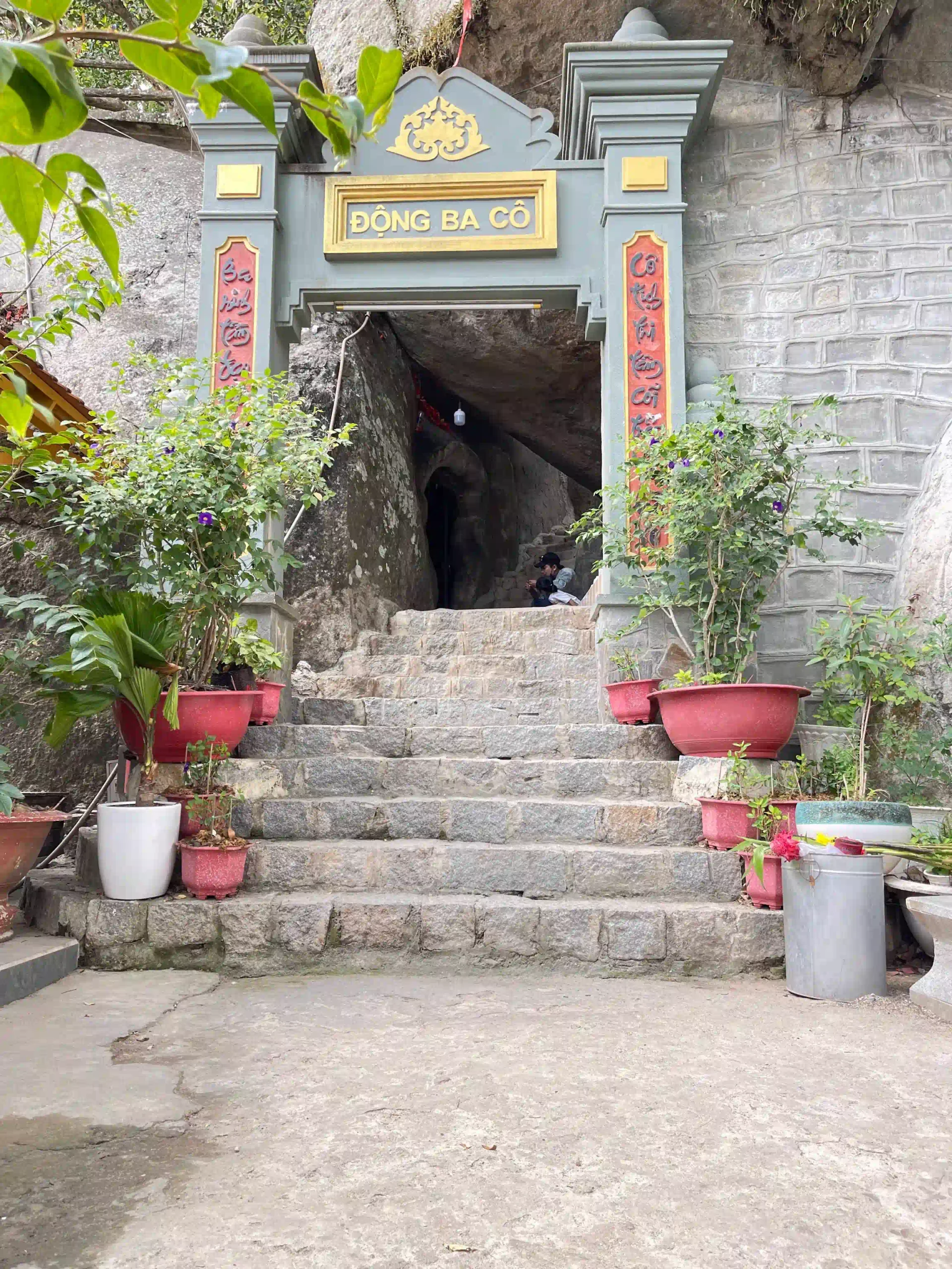
The Black Lady temple (Linh Son Thanh Mau temple) has been a pilgrimage site for well over a century, and on any given weekday you’ll find Vietnamese pilgrims who’ve made the cable car trip specifically to pray and make offerings here, not to visit the theme park attractions. The combination of incense smoke, the altitude, and the setting gives the temple complex a different feel from the commercial development around it. The two things coexist awkwardly but both are real.
Adding the Cao Dai Temple
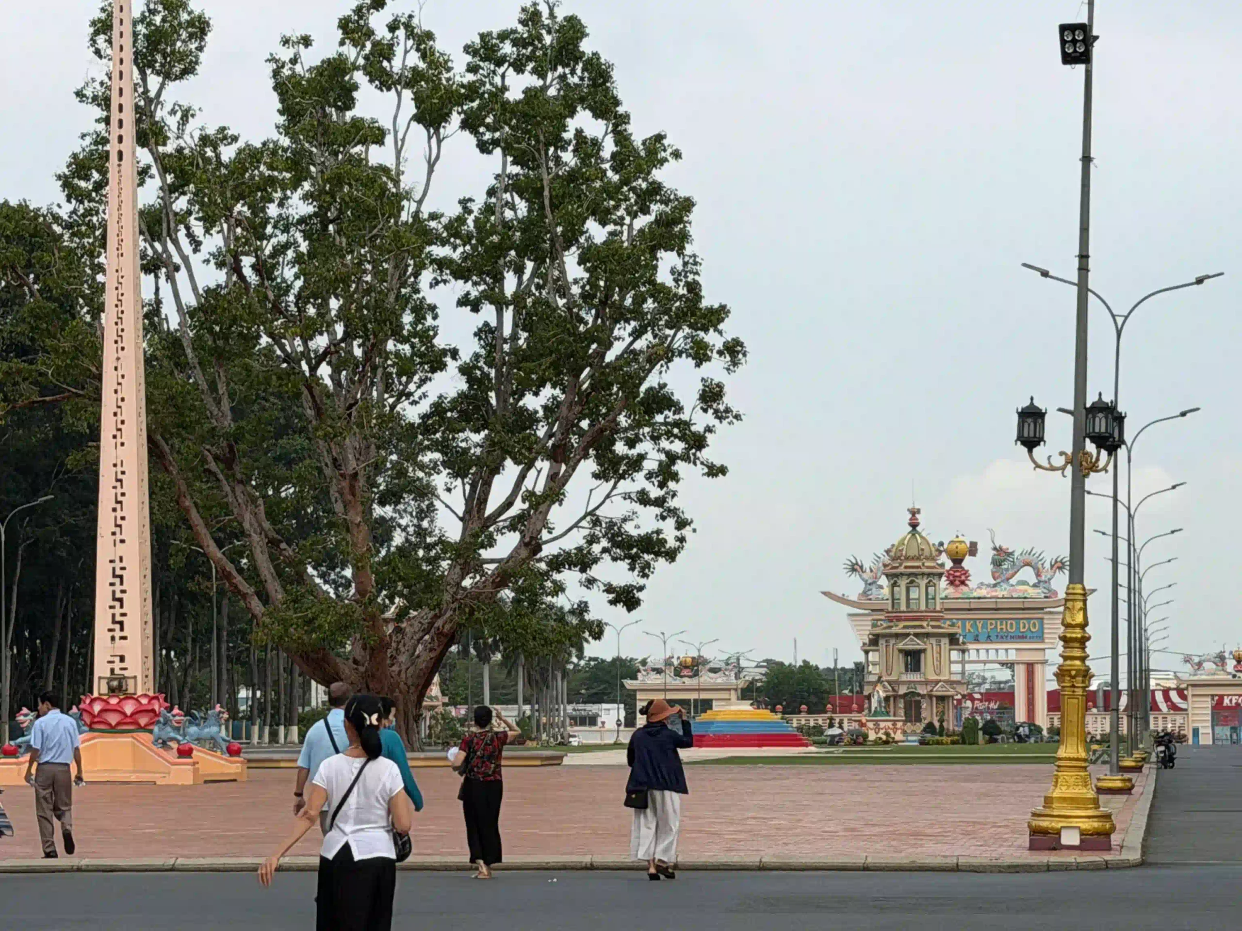
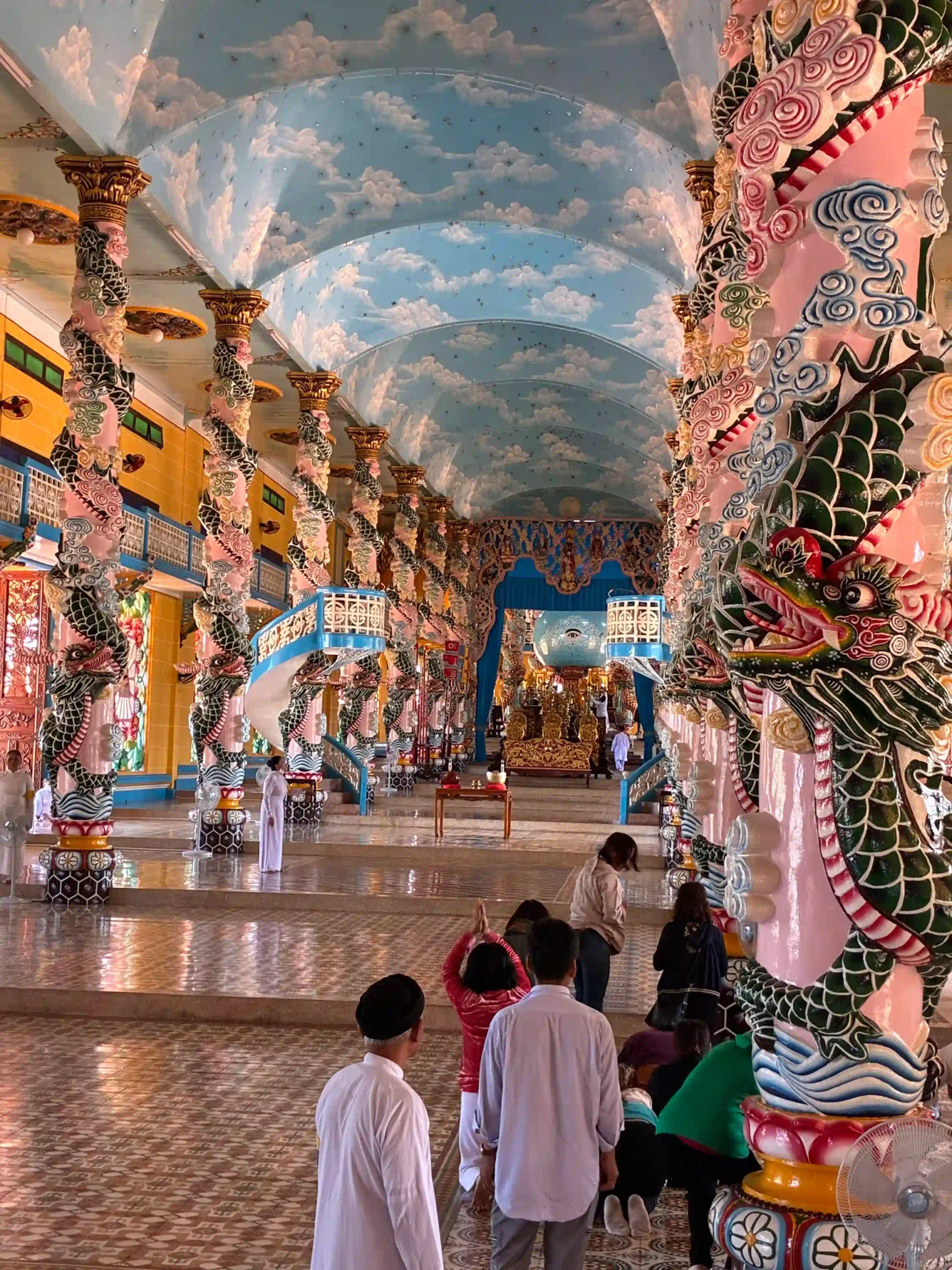
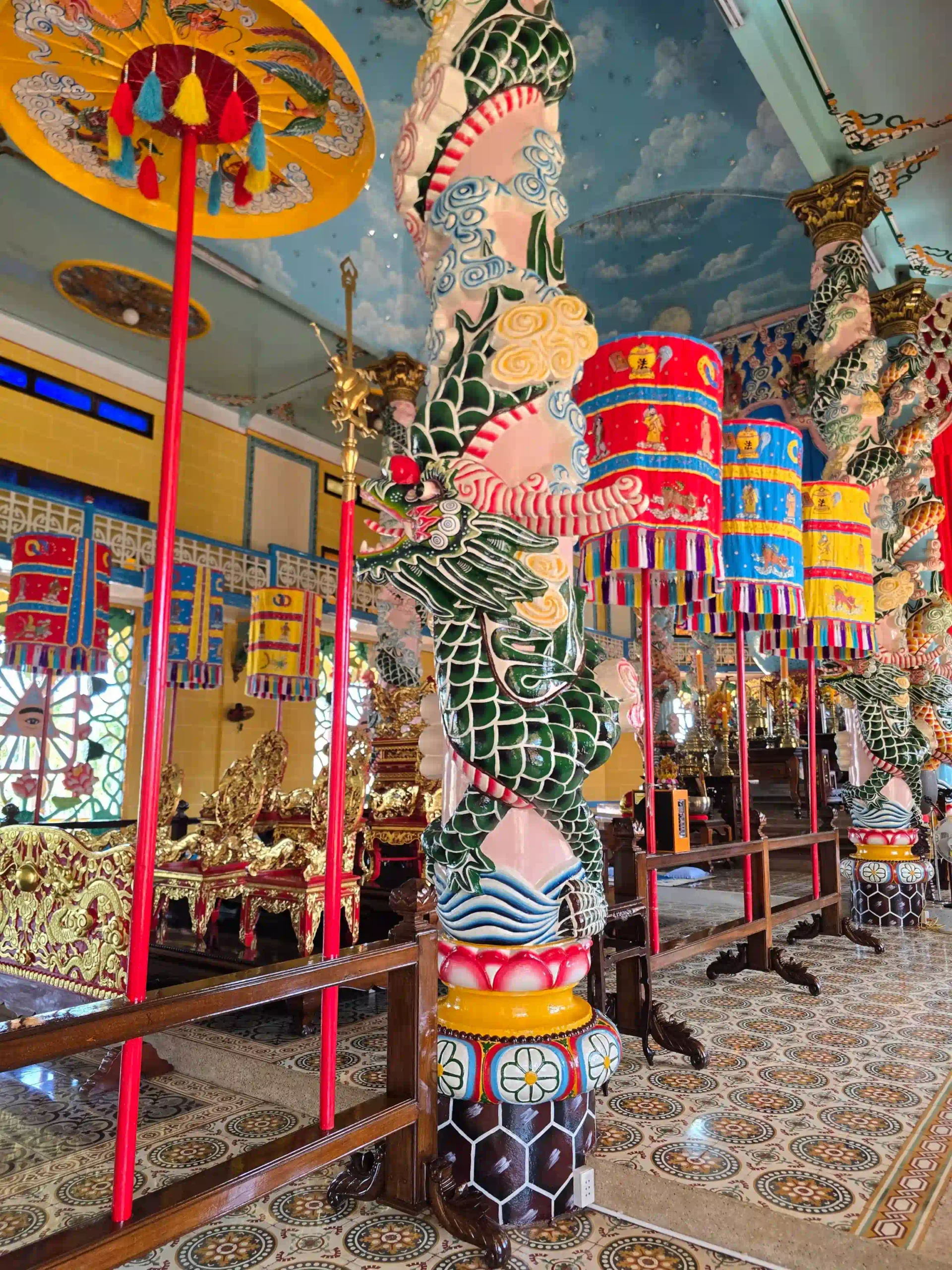
If you’ve made the drive to Tay Ninh, the Cao Dai Holy See is 15 minutes from the mountain and worth an hour of your time. Cao Daism is a Vietnamese syncretic religion founded in 1926 that blends Buddhism, Taoism, Confucianism, and elements of Christianity and Islam into a single doctrine. The Holy See is its Vatican, and the main cathedral is one of the most visually extraordinary religious buildings in Vietnam: colorful, elaborate, entirely unlike anything else in the country.
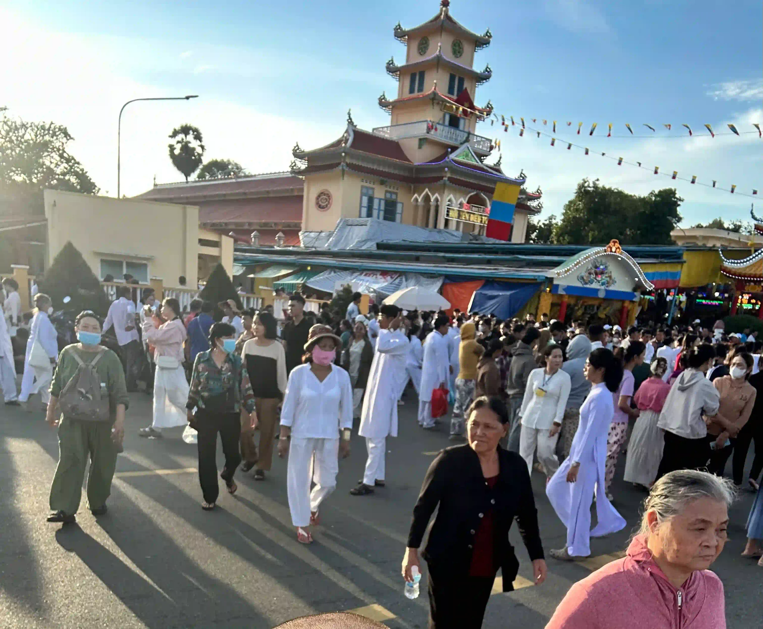
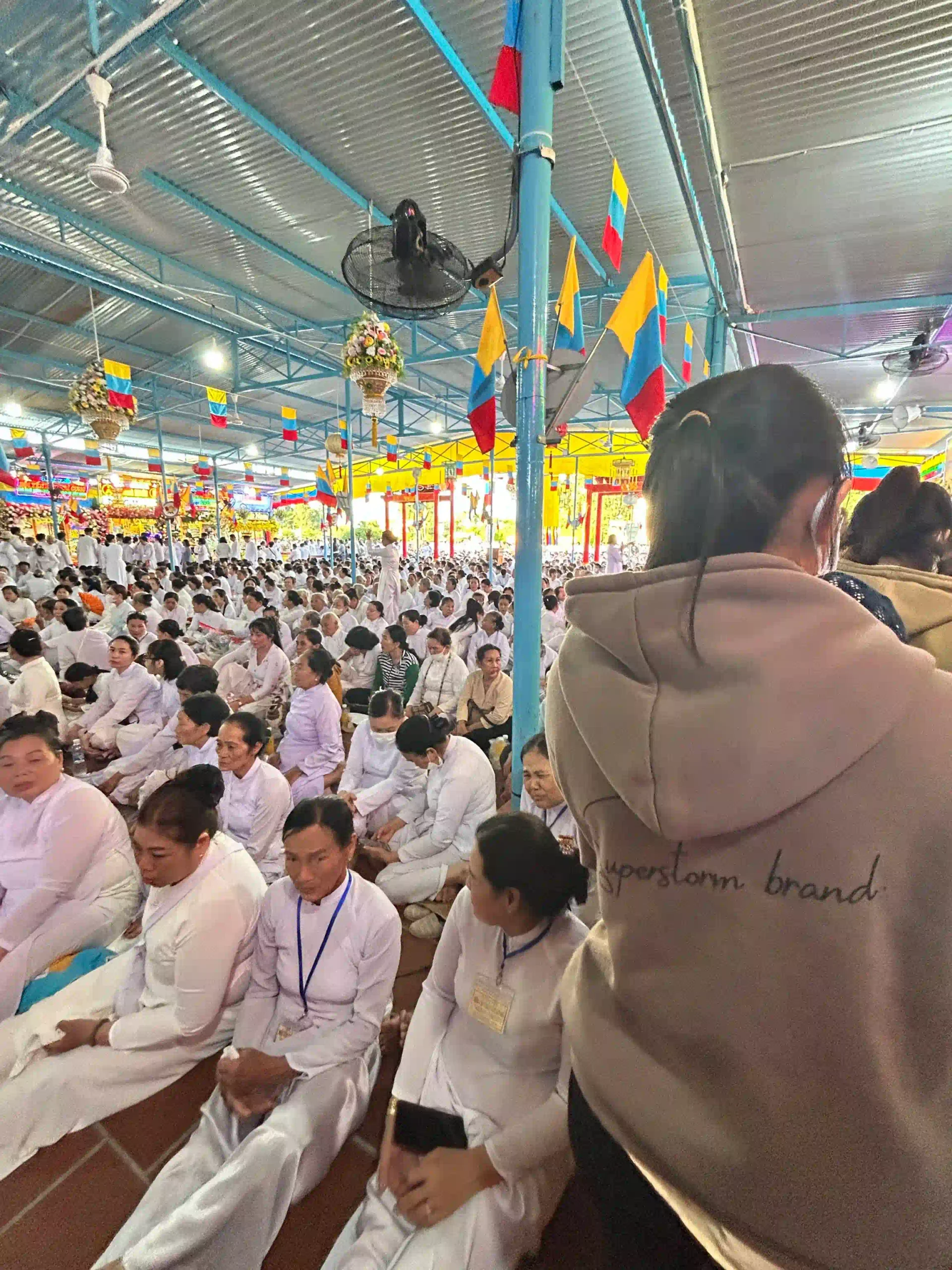
Ceremonies happen at 6am, 12 noon, 6pm, and midnight. Arriving for a noon ceremony (which involves hundreds of worshippers in ceremonial white robes chanting and processing in organized formation) is one of the better things you can add to any trip to Tay Ninh. The noon timing works perfectly with a Ba Den morning start.
Most day tours from Saigon combine both. If you’re organizing your own visit, the Cao Dai Holy See is at Hoa Thanh District in Tay Ninh, 15km from the mountain.
Practical Things
Start early
Leave Saigon no later than 6am. The mountain entrance opens early and the hike gets significantly harder once the sun is fully up. On a full hiking day you want to be at the trailhead by 9am at the latest.
Water
Take more than you think you need. The hike is hot and strenuous and there’s limited shade on the upper sections. Two liters minimum for the trail, more if it’s a hot day. There are food and drink stalls at the base and at the summit, but nothing on the trail itself.
Shoes
Proper hiking shoes or trail runners with grip. Sandals and smooth-soled shoes won’t work on the boulder sections. This is a real consideration, not a general disclaimer.
Gloves
Optional but useful. The upper sections involve grabbing rocks with your hands and gloves prevent scraping.
Cash
The entrance fee (16,000 VND), cable car, and any food are all cash. There’s no card payment at the mountain and the ATMs in Tay Ninh city are 15km away.
Dress code at the temple
Shoulders and knees covered at the temple complex. The mountain is an active religious site. Pack a light layer or scarf if your hiking clothes are minimal.
Phone signal
Reasonable signal on the lower sections of the trail, drops on the upper sections. Download the route before you leave Saigon so you have it offline.
Snakes
One hiker mentioned nearly stepping on a Banded Krait, which is seriously venomous. Watch where you put your feet and hands. Don’t grab rocks or logs without looking first. This isn’t a reason to not go, but it’s a reason to pay attention.
Rainy season
June to November, the trails become slippery and sections become genuinely dangerous. The wet season hike is possible in theory but a fall on wet rocks at these grades is not trivial. I wouldn’t do it.
Tet and the Ba Den Festival
The 15th day of the first lunar month is Ba Den Festival, the mountain’s main pilgrimage period. The combination of pilgrims, tourists, and the general Tet travel season means the mountain is extremely crowded in January-February. The atmosphere is unusual and interesting, but expect long cable car queues and significantly more people on the trail.
Food in Trang Bang
On the way there or back, stop for bánh tráng phơi sương and the local noodle soup (bún Trang Bang). The rice paper rolls from this town specifically are lighter and more delicate than what you get in Saigon, air-dried overnight rather than just fresh-cut. Multiple stalls along the main street through town. This is the kind of lunch that makes the drive worthwhile in both directions.
Should You Go?
For anyone staying in Saigon who specifically wants to hike, and I mean actually hike rather than walk around a park, the answer is yes. It’s the only option. The drive is long, the day is full, and the summit has development on it that surprises some people. The hike itself is a genuine physical challenge and the mountain is worth the trip.
For anyone who just wants to see a mountain and experience a different side of southern Vietnam without committing to a hard 5-hour hike, the cable car version is a legitimate choice. The views and the cultural experience at the top are the same whether you walked up or rode. There’s no shame in it.
For anyone who has limited time in Vietnam and is weighing this against doing more in the city or making a day trip to somewhere else. It depends on priorities. Ba Den is specifically for people who want outdoor activity within reach of Saigon. If that’s not the priority, the trip doesn’t click as well.

Keep Exploring Ho Chi Minh City
-
See & do UltimateMy expat guide to stuffs to do in Ho Chi Minh city ›
-
Spots Must read10 Ho Chi Minh city attractions travelers must visit in 2026 ›
-
SpotsA day chasing best sunrise, sunset spots in Ho Chi Minh City ›
-
SpotsAo Dai photo tour in Ho Chi minh city, what to expect ›
-
SpotsWhat $50 actually gets you on a Saigon river dinner cruise? ›











 Tiếng Việt
 한국어
한국어 中文 (中国)
 日本語
日本語 ไทย
ไทย Deutsch
 Español
 Destinations
 Instagram
 Facebook
 X (Twitter)
 Threads
 Tiktok